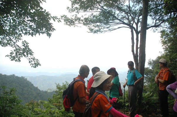
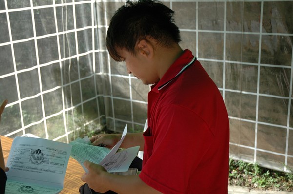
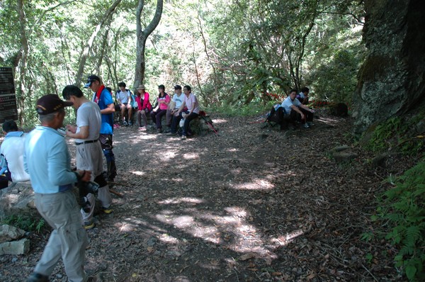
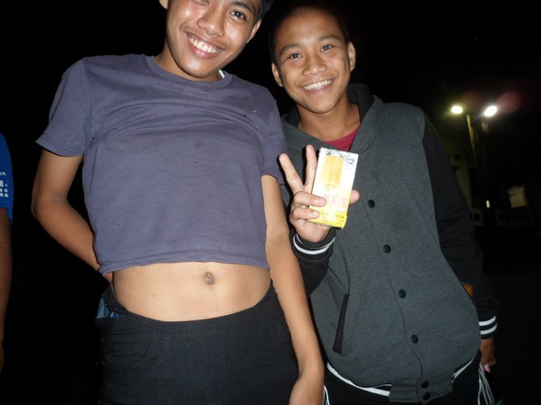
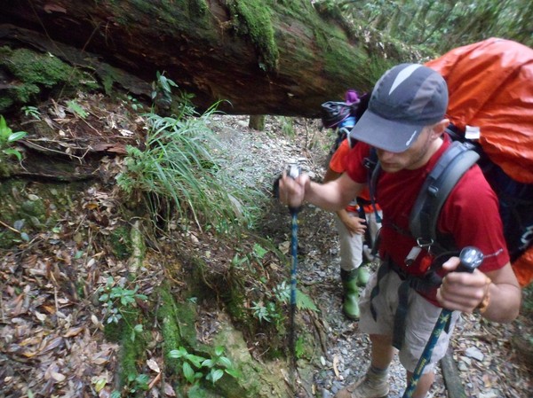
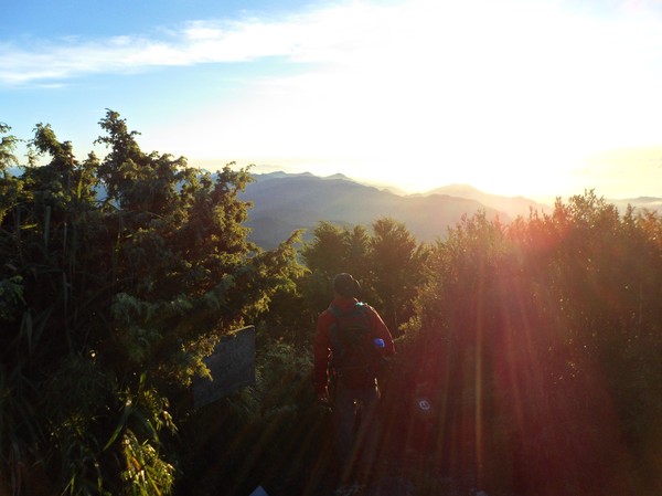
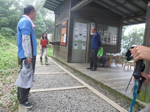
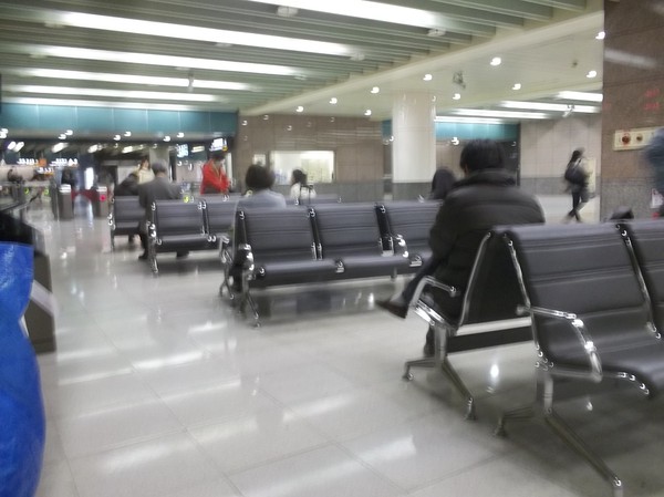
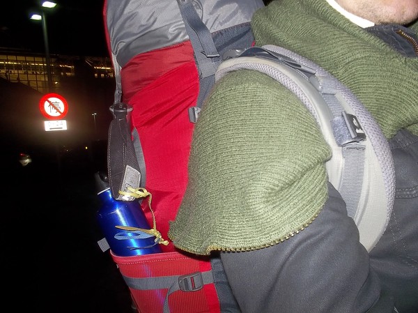
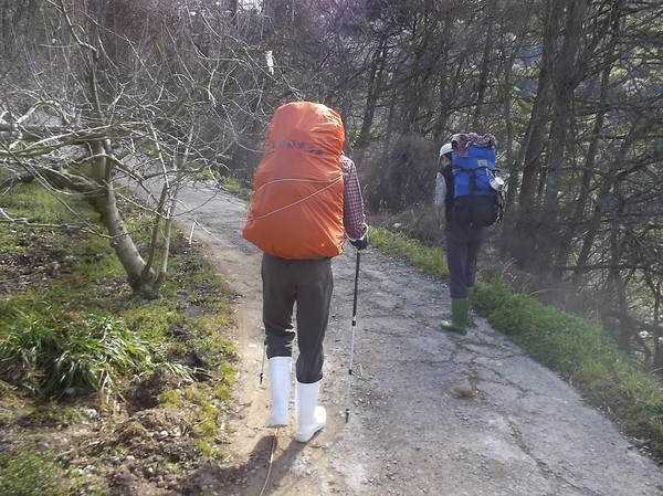
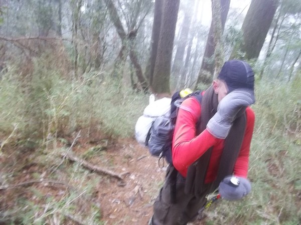
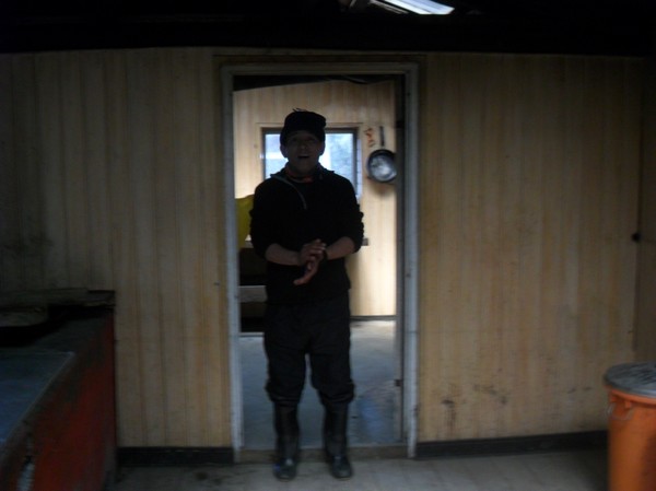
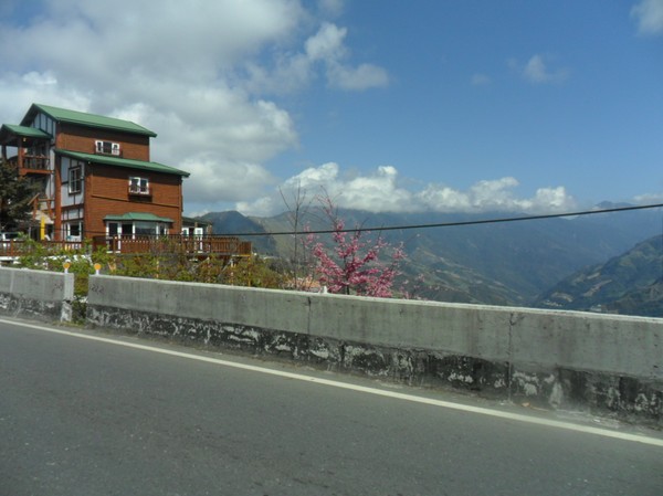
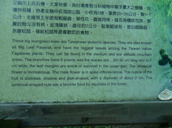
A hike session in Hsinchu
I went to hsinchu some days ago..
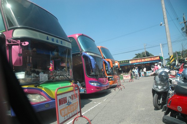
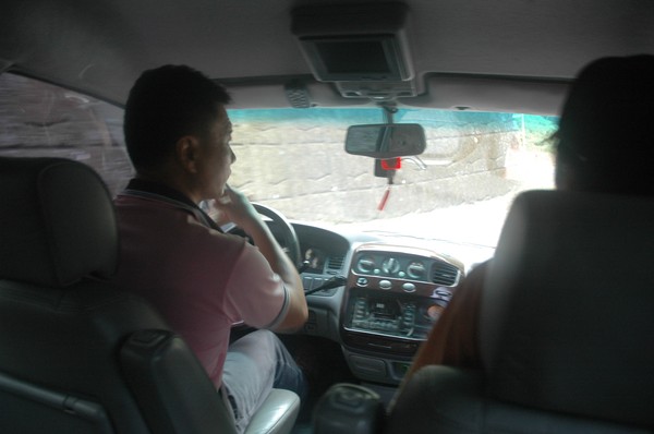
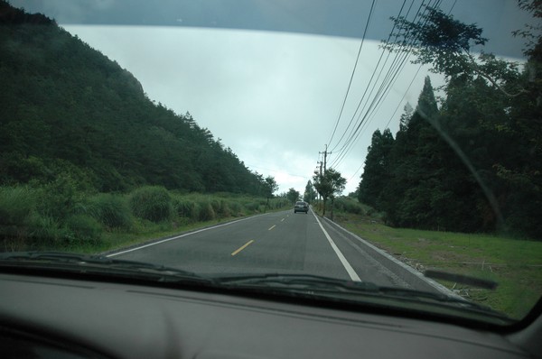
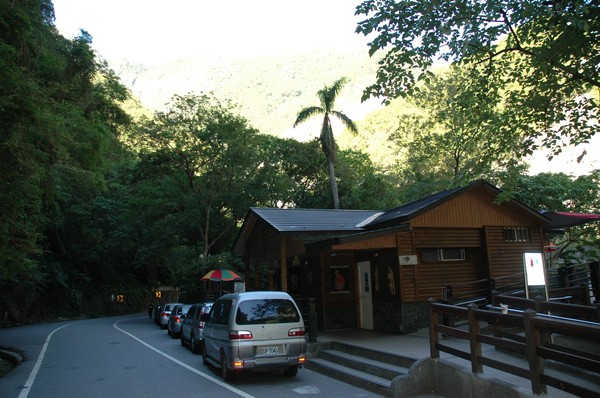
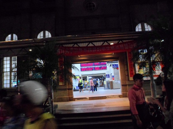
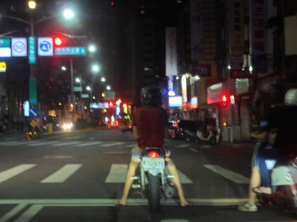
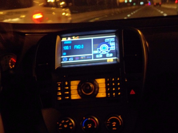
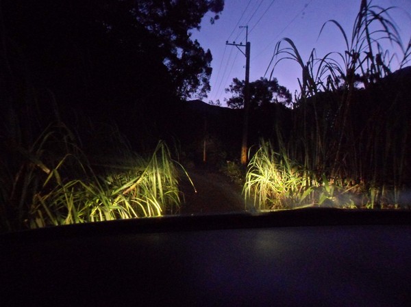
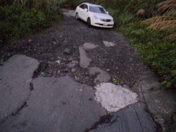
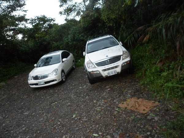
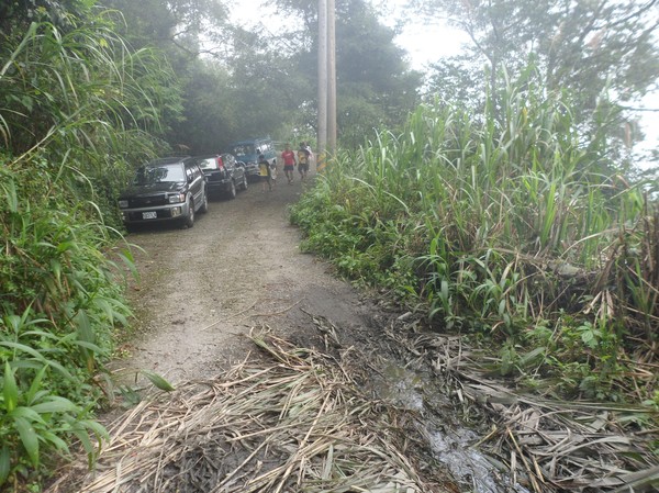
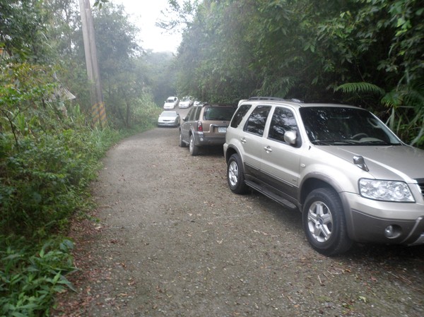
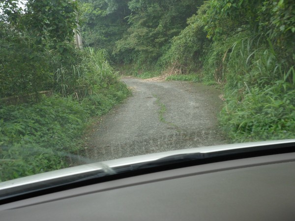
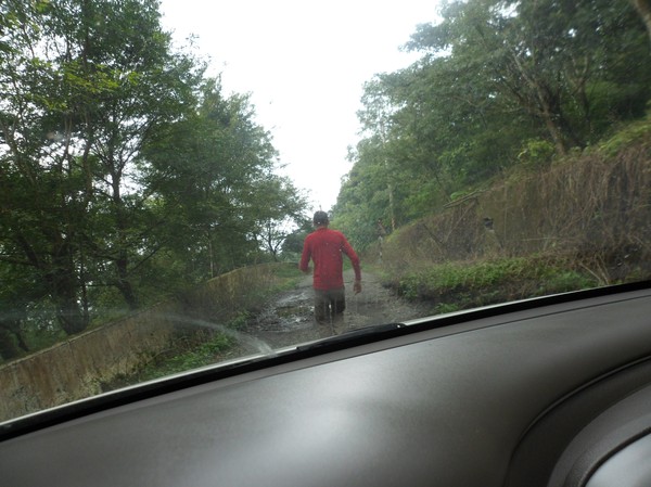
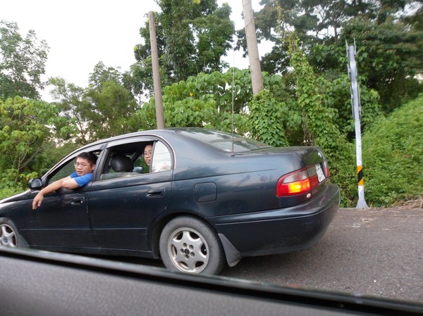
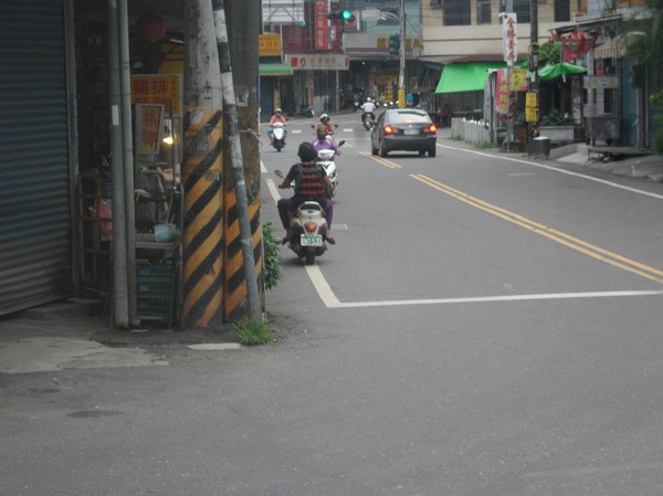
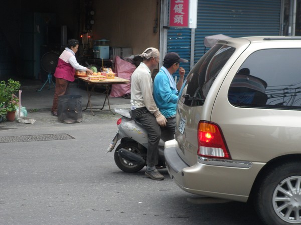
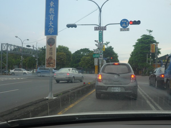
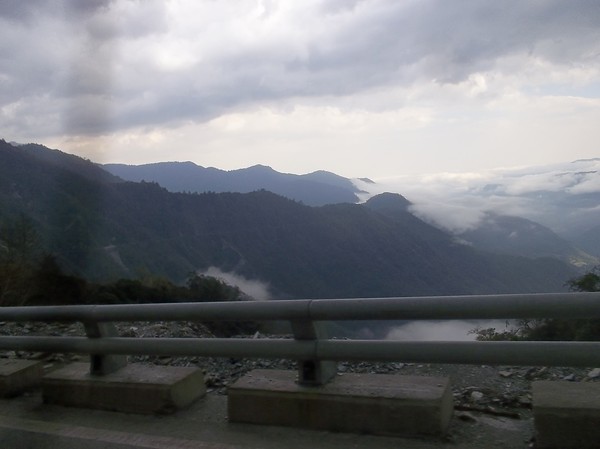
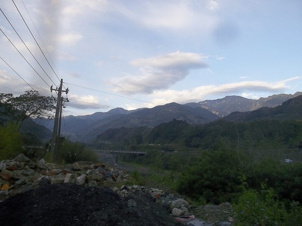
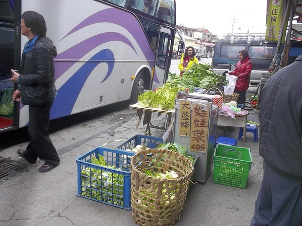
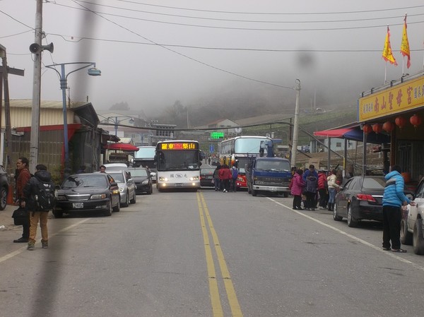
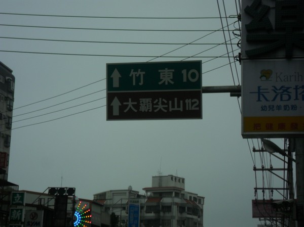
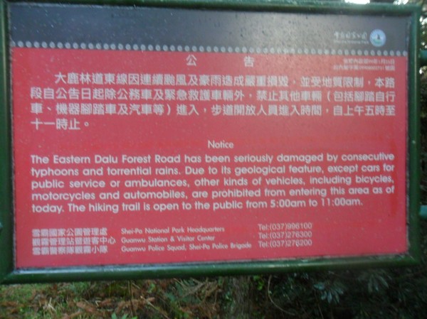
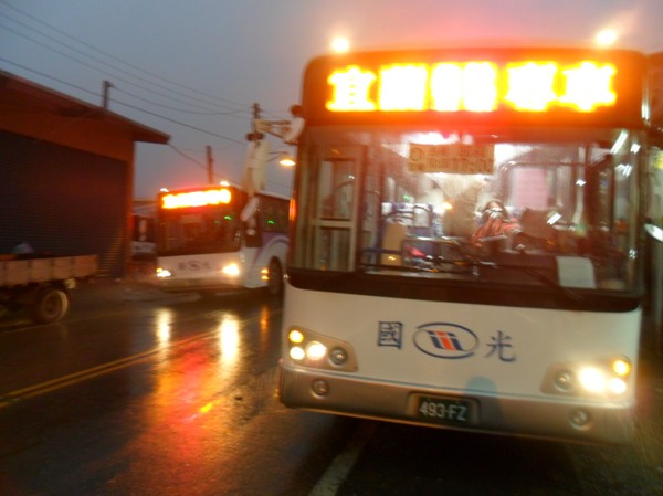
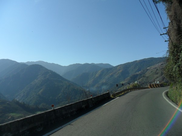
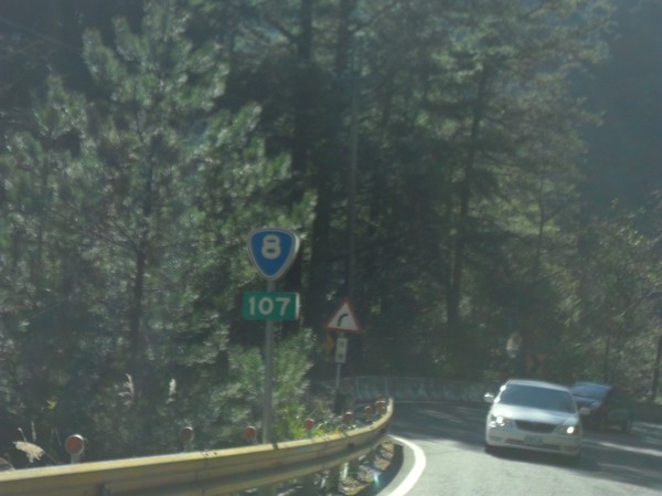
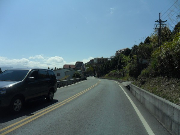
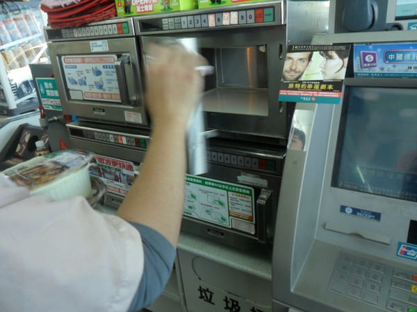
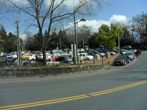
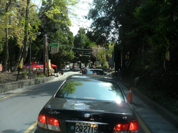
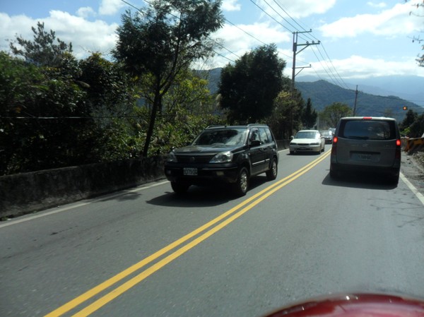
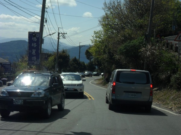
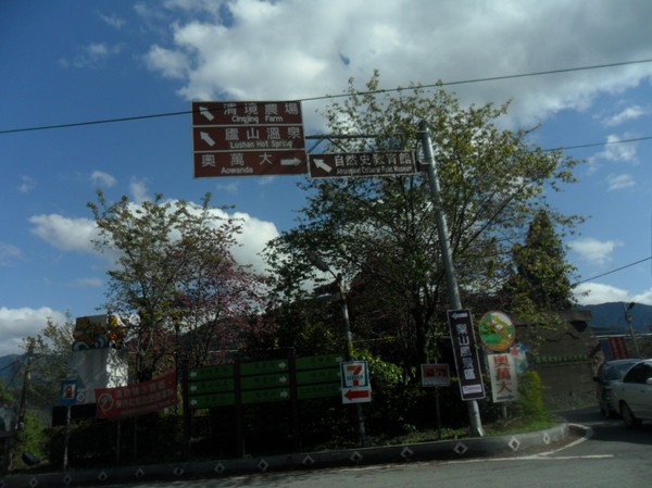
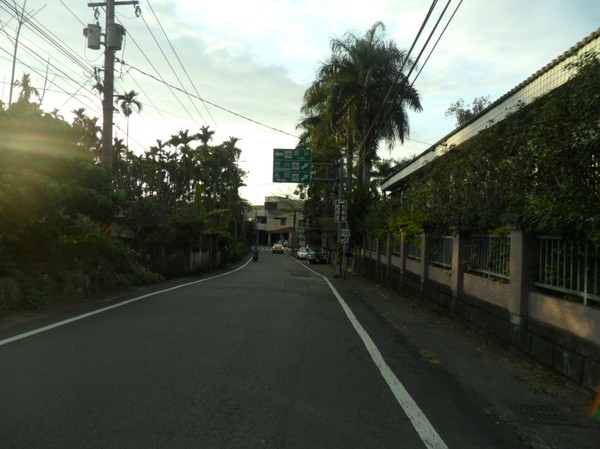
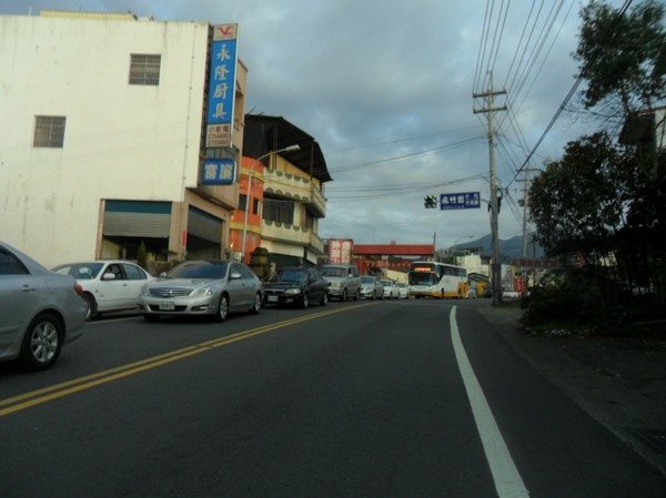
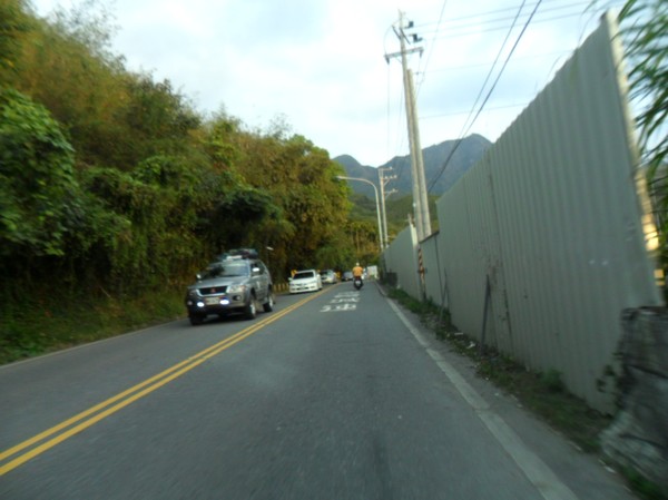
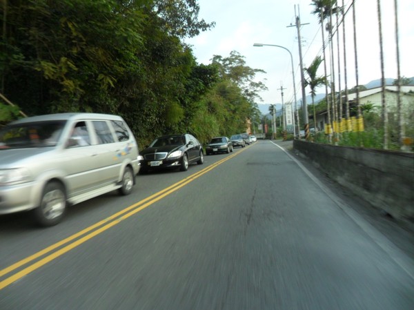
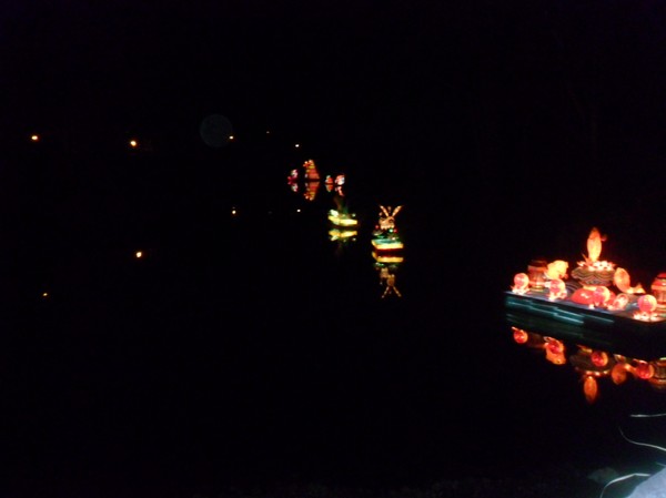
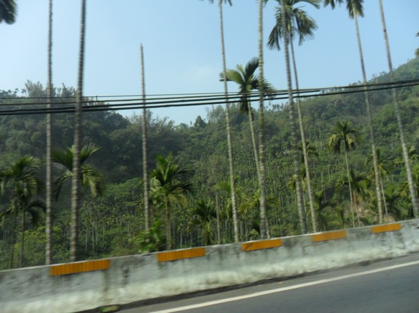
Many cars here...
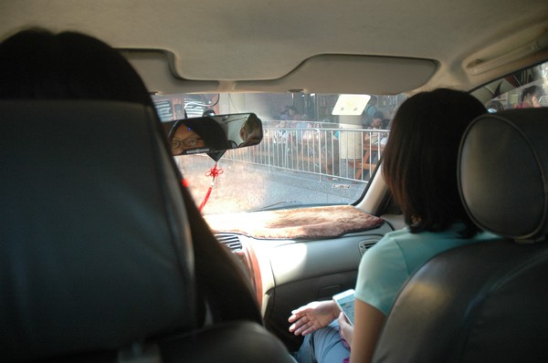
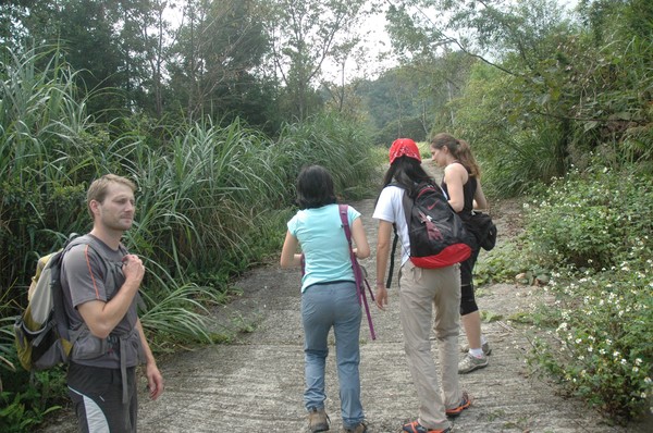
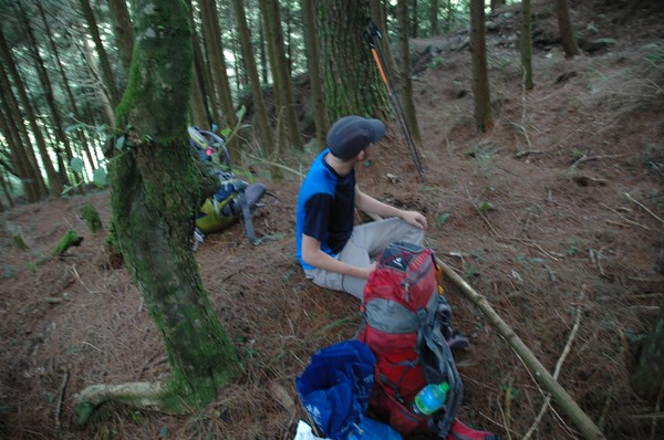
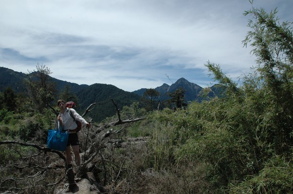
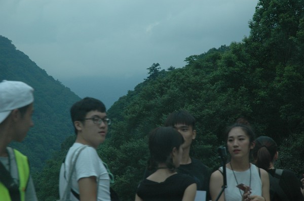
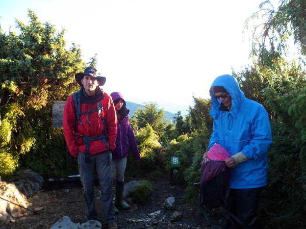
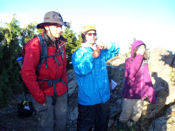
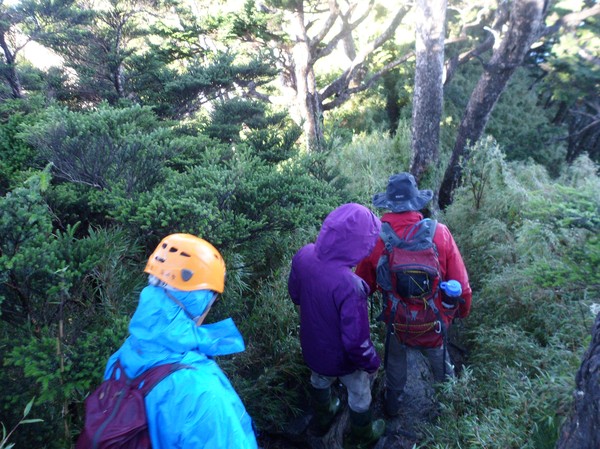
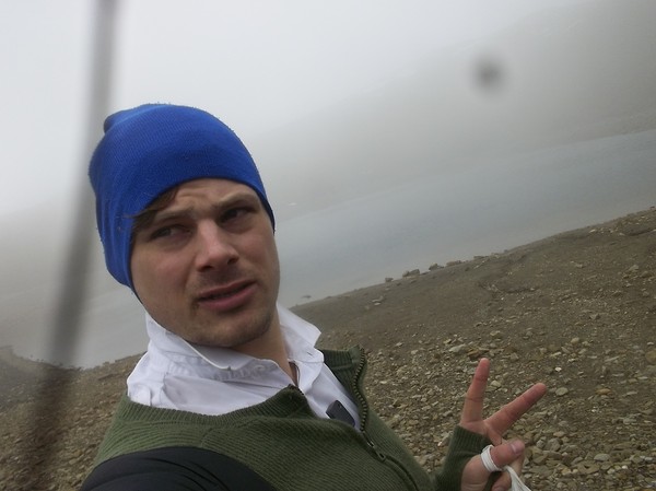
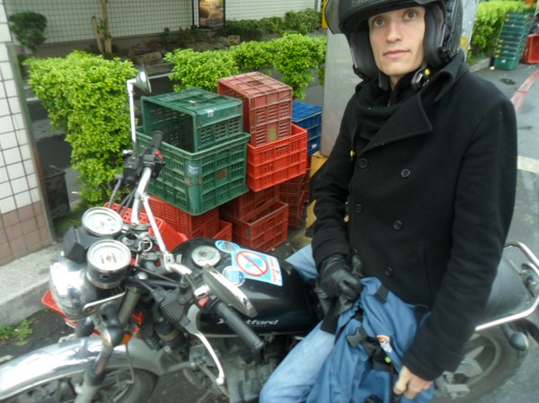
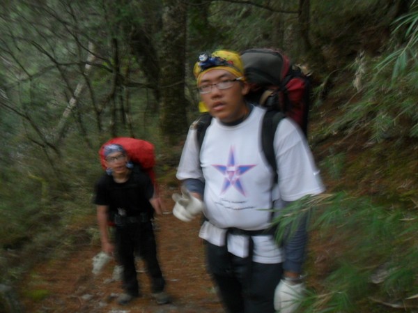
Went with some school mates
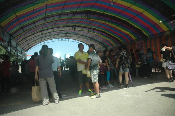
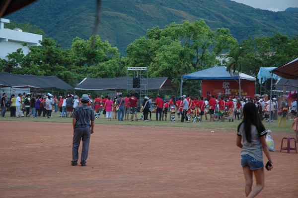
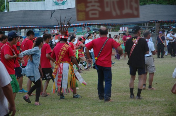
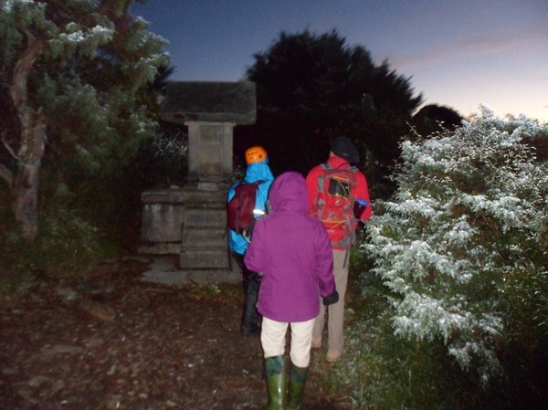
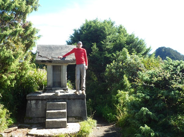
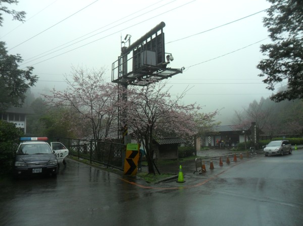
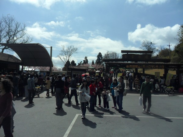
Up in the mountains, they had some morning event..
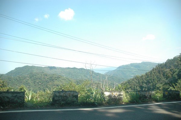
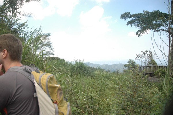
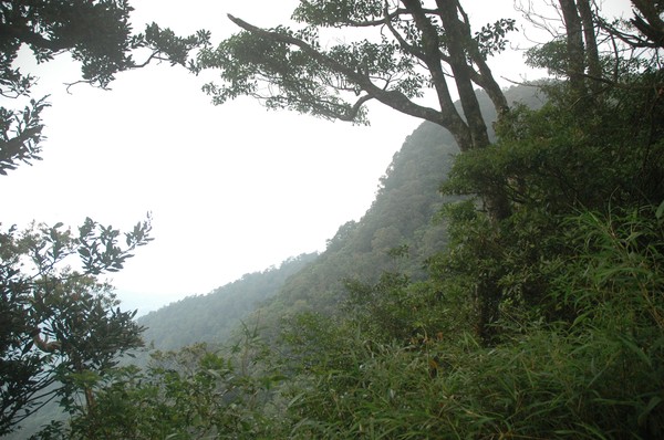
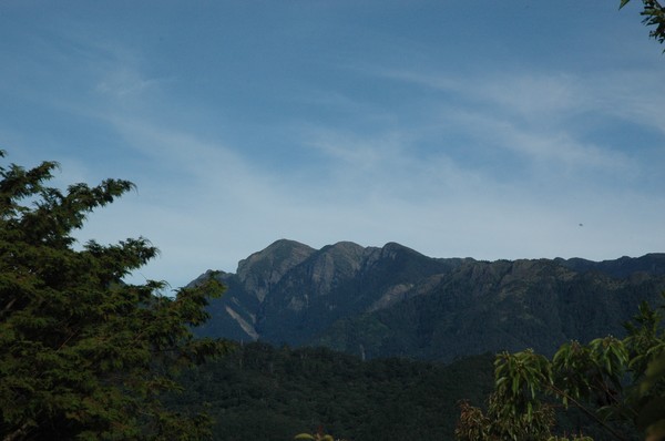
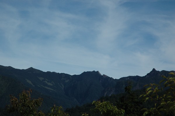
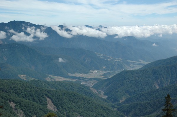
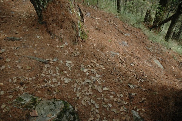
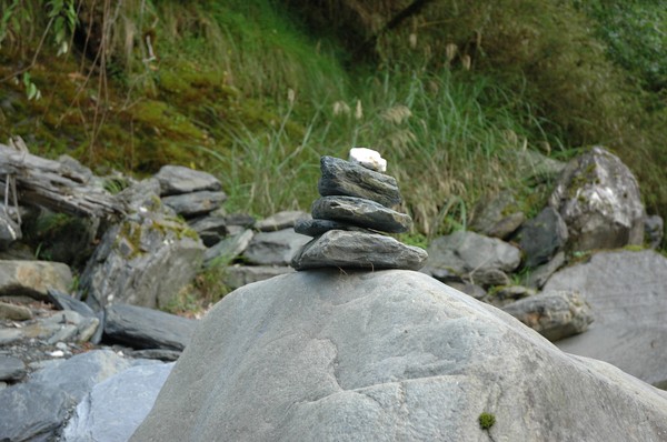
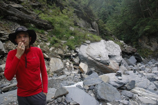
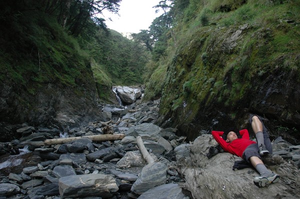
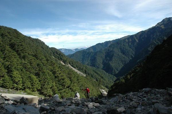
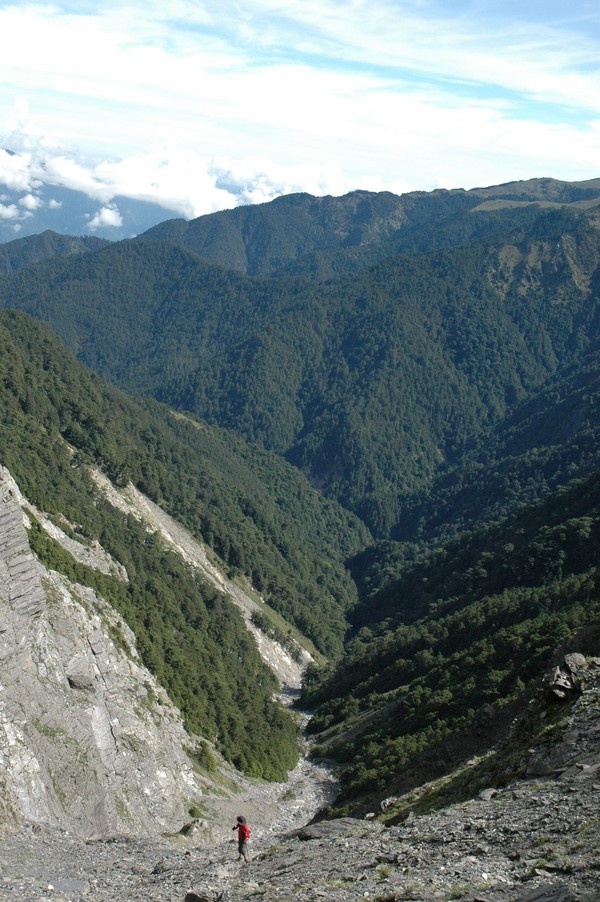
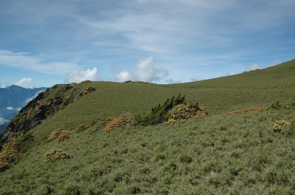
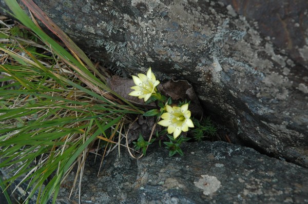
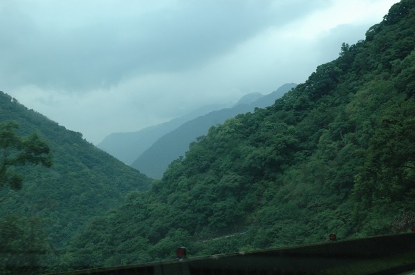
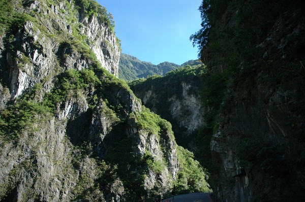
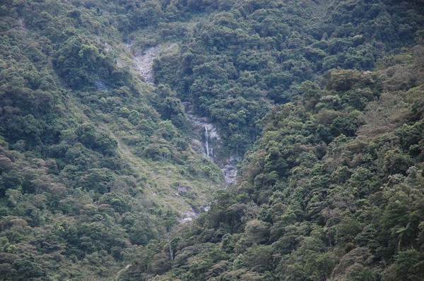
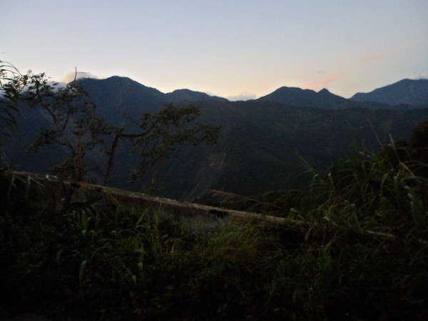
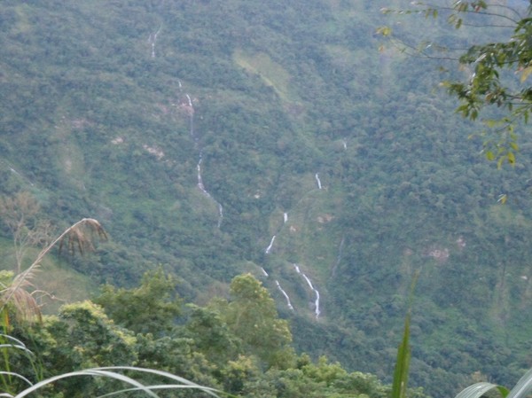
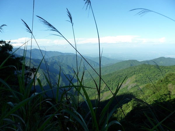
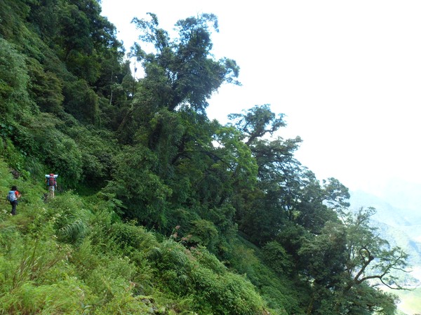
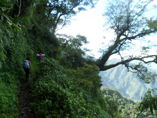
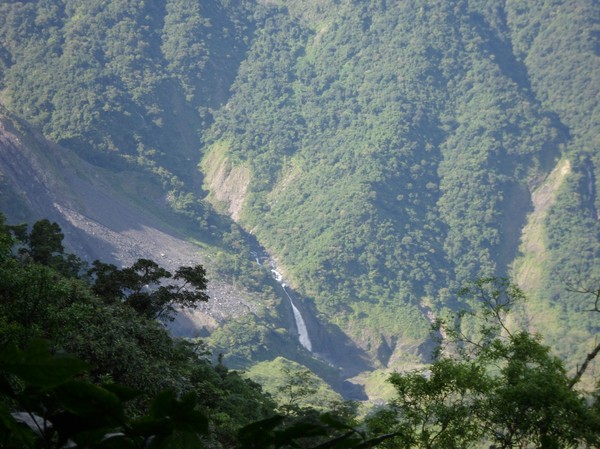
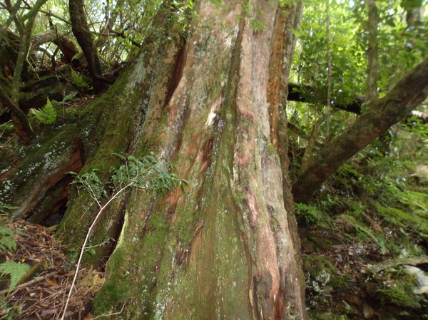
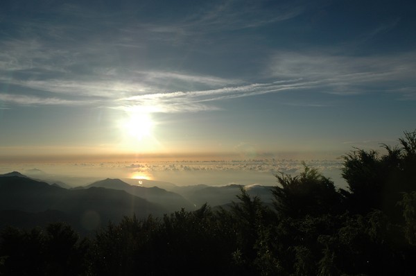
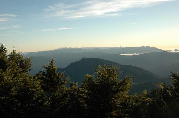
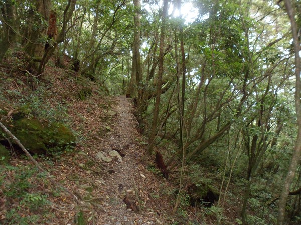
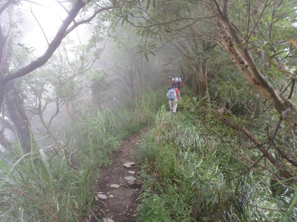
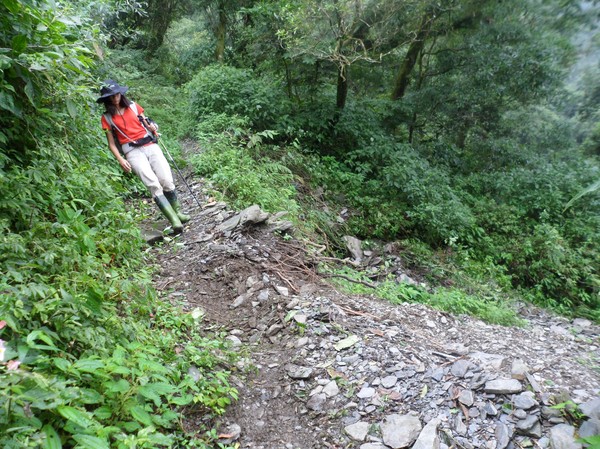
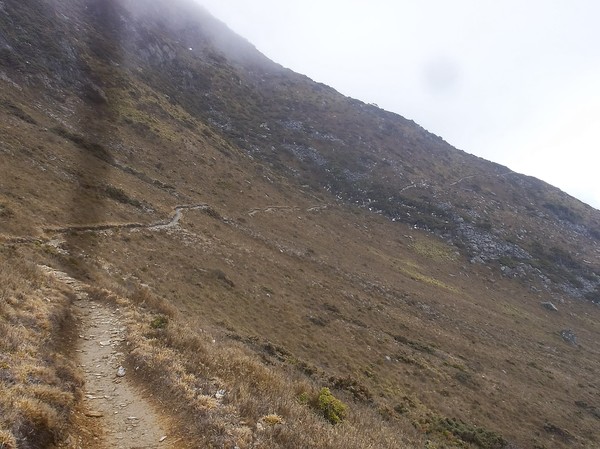
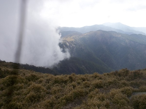
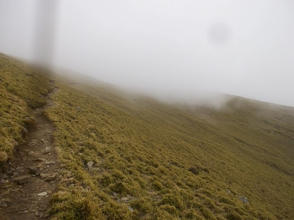
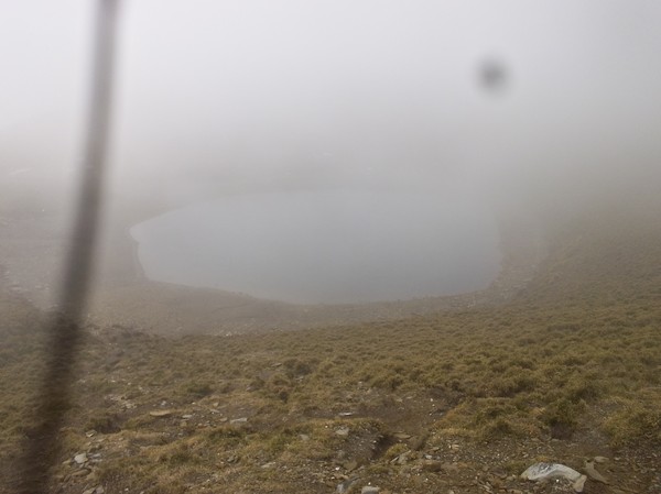
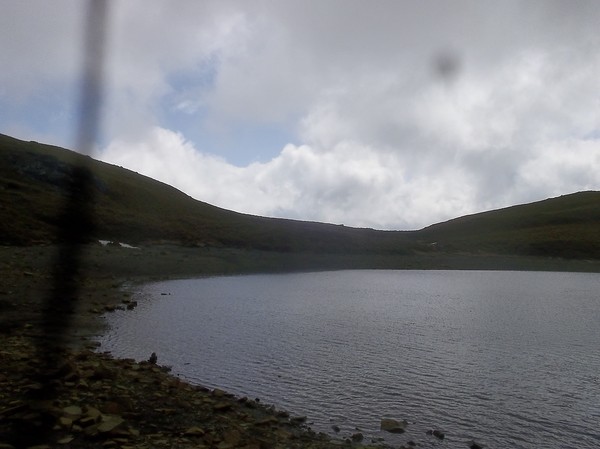
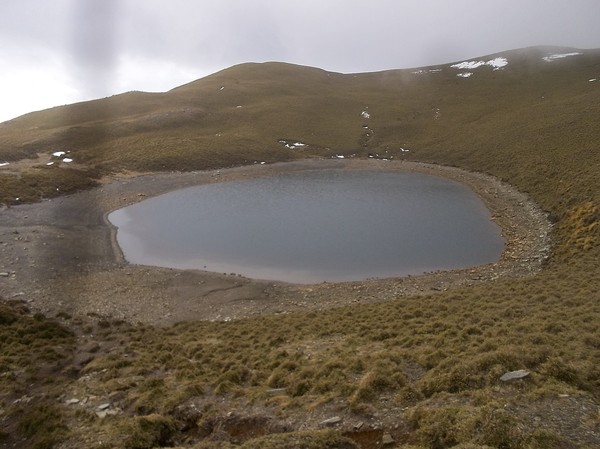
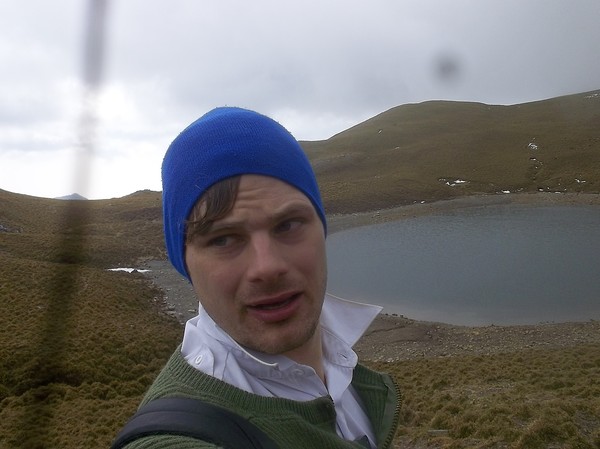
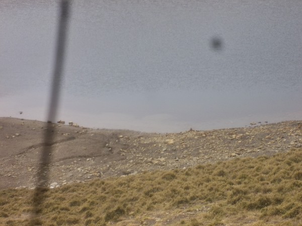
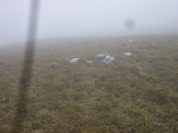
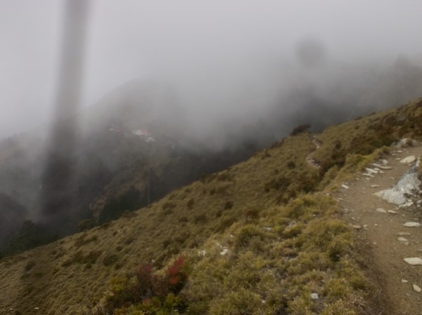
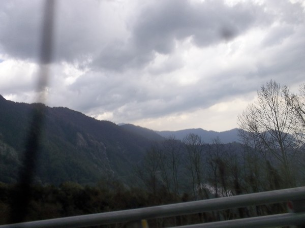
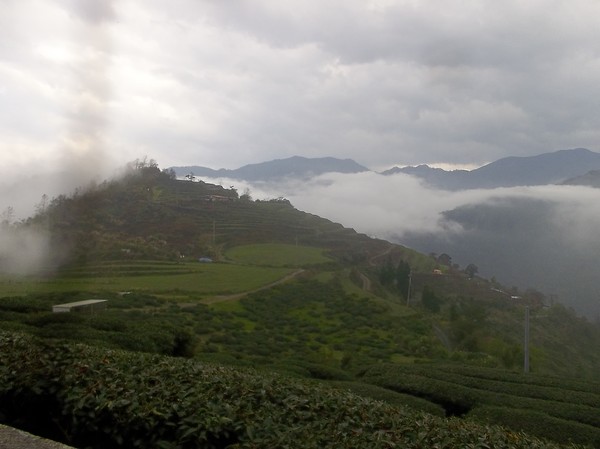
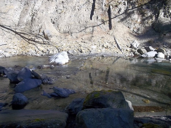
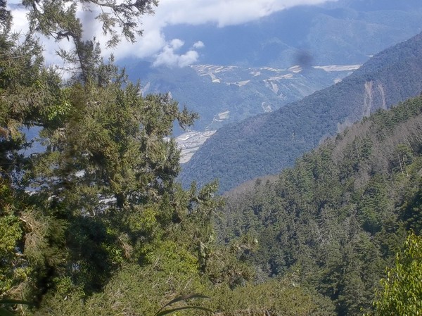
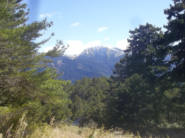
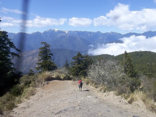
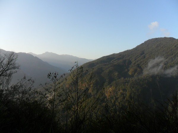
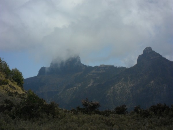
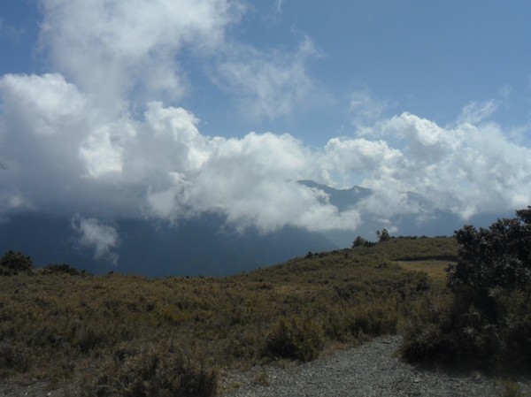
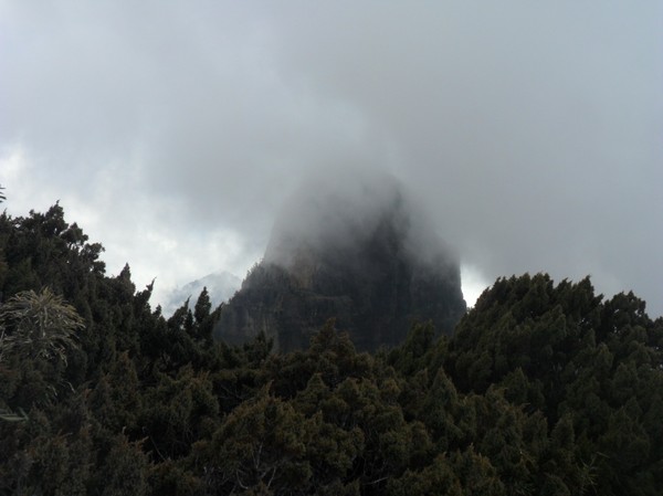
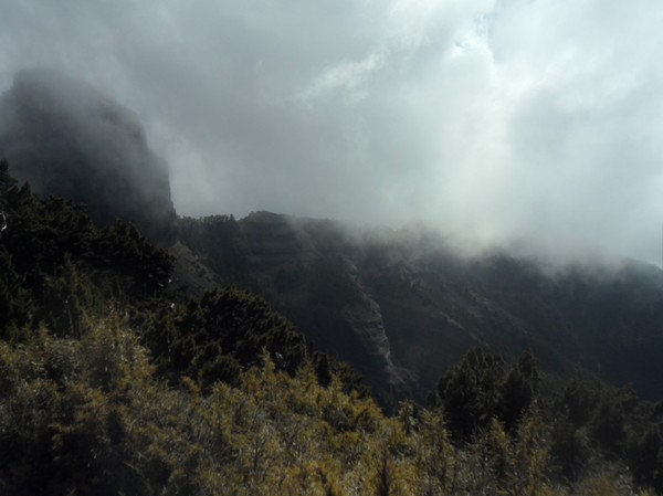
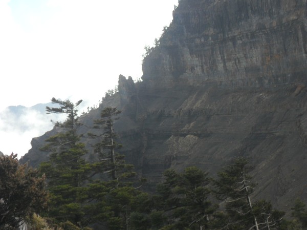
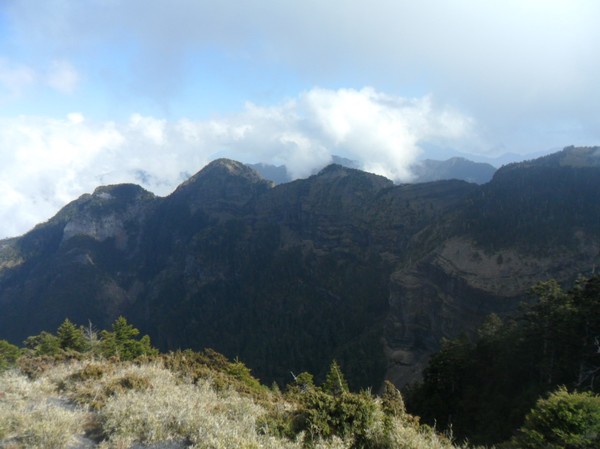
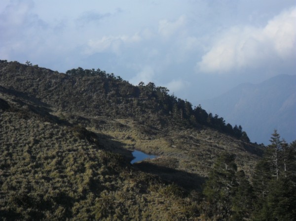
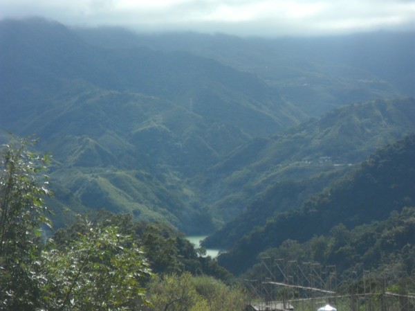
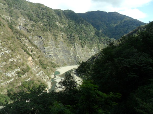
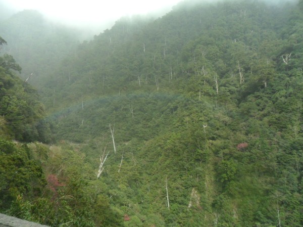
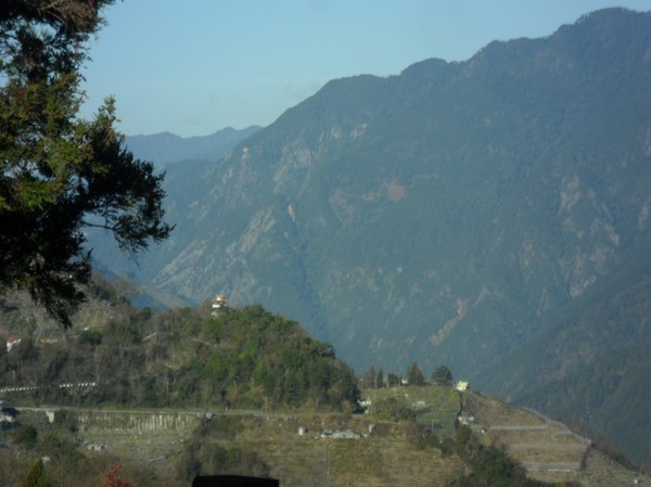
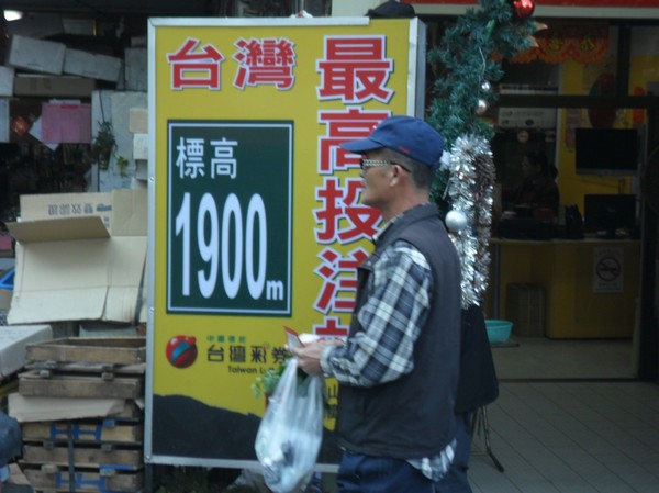
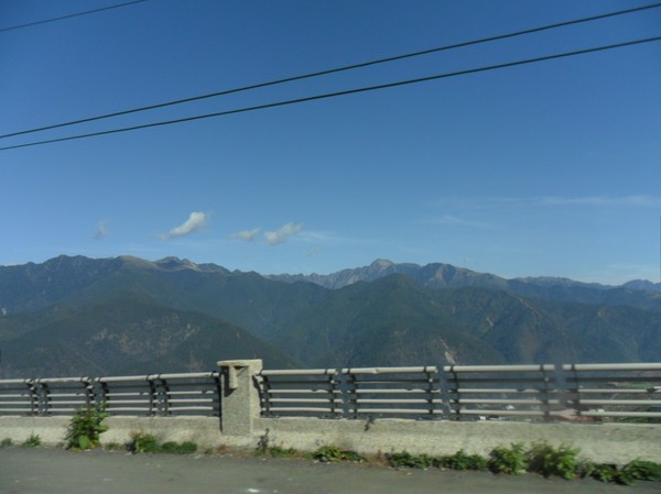
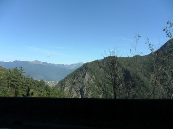
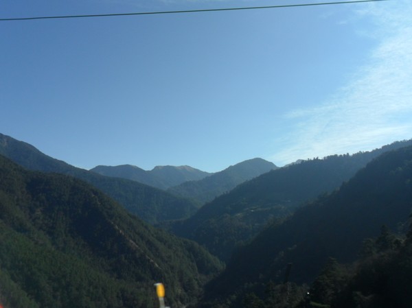
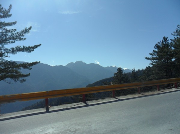
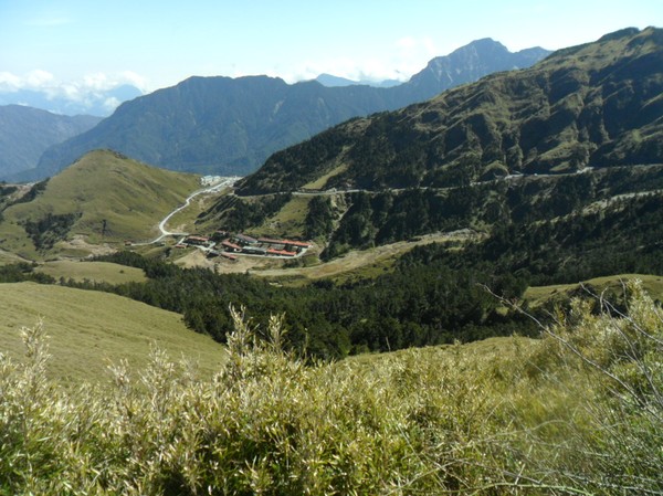
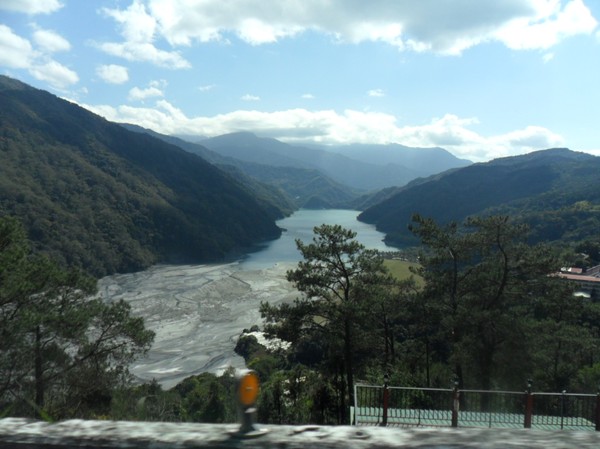
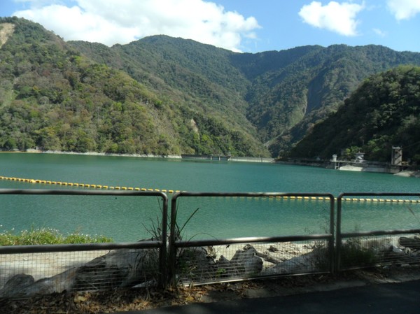
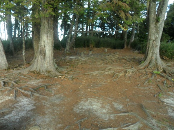
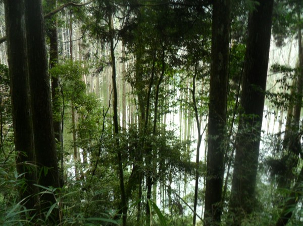
It is nice in the mountains, these were like 1000m high i think

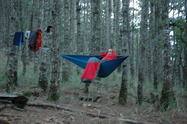
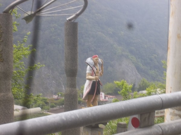
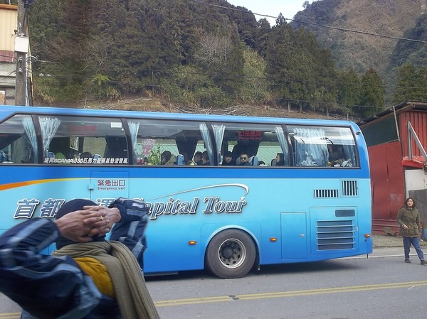
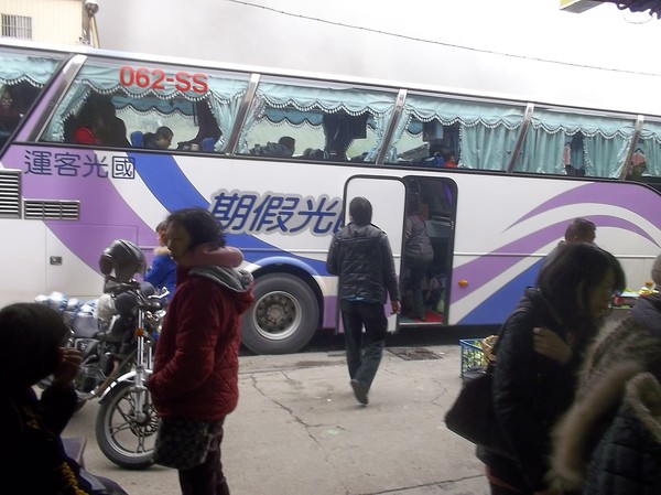
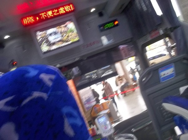
Omg...a hello kitty bus..
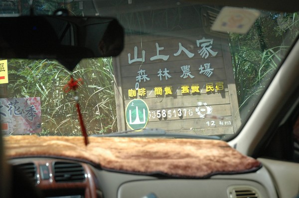
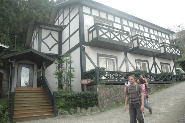
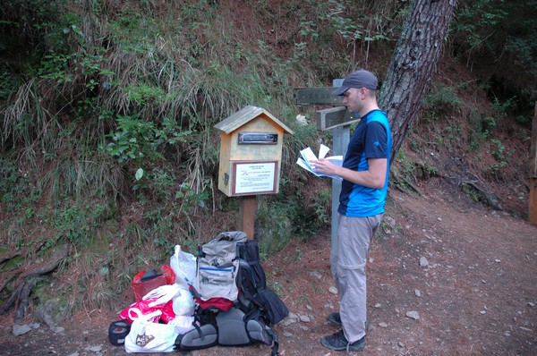
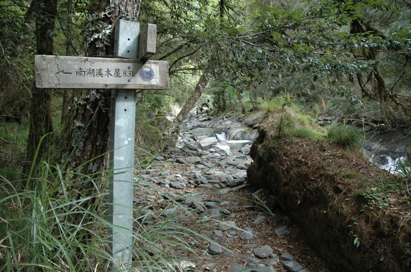
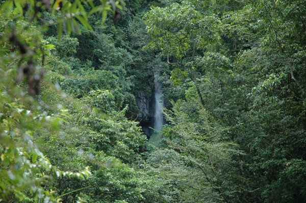
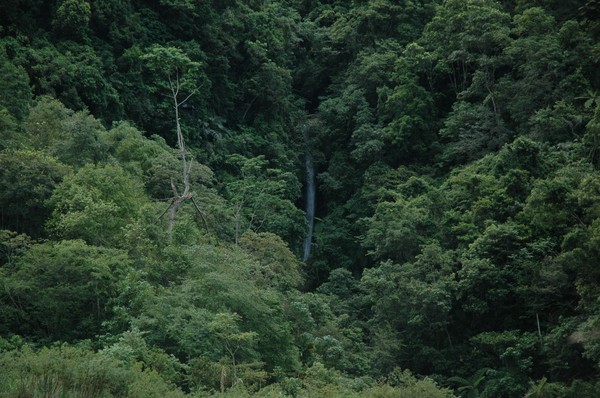
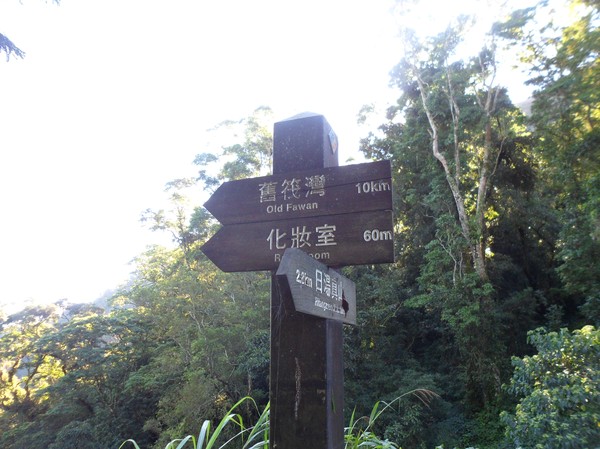
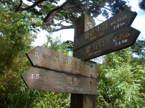
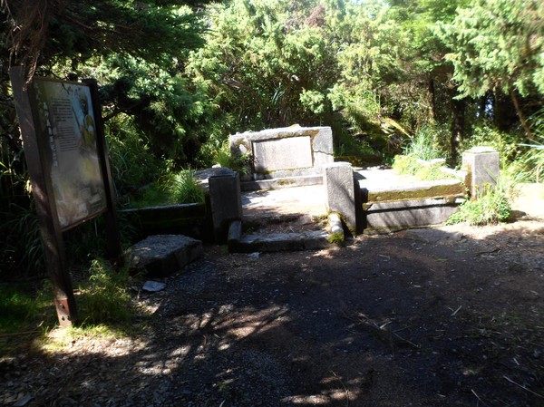
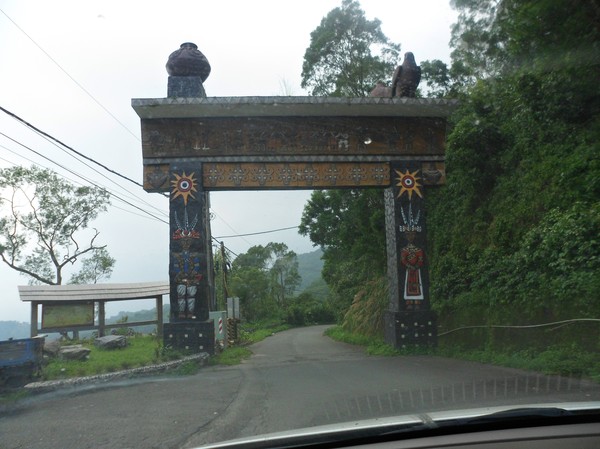
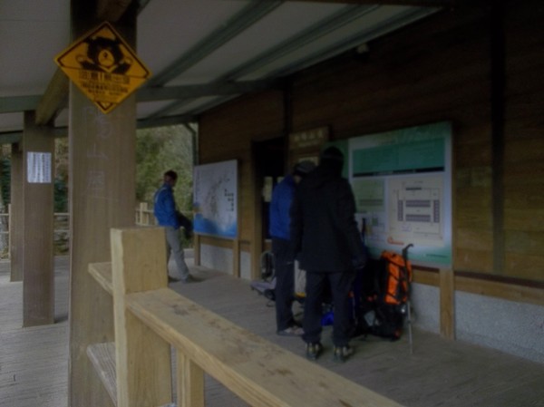
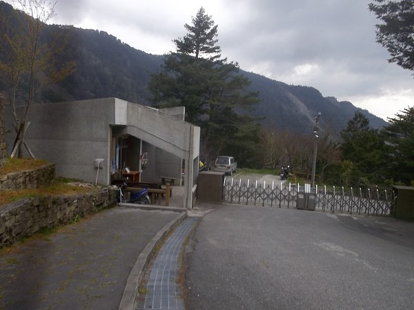
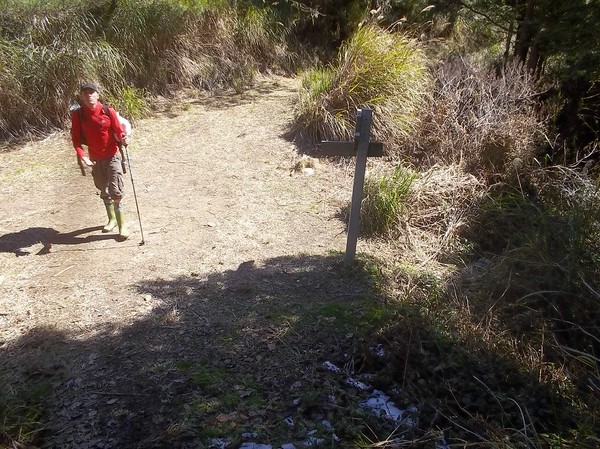
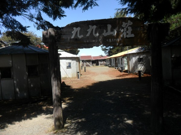
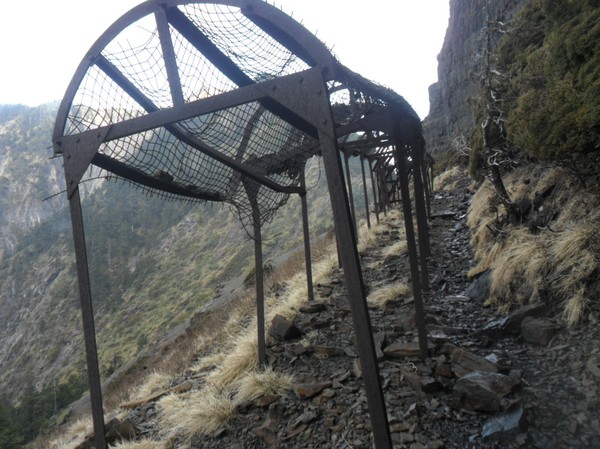
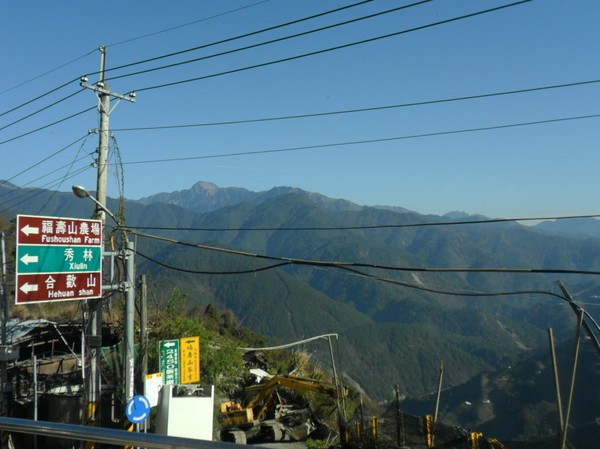
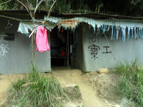
We were heading here...

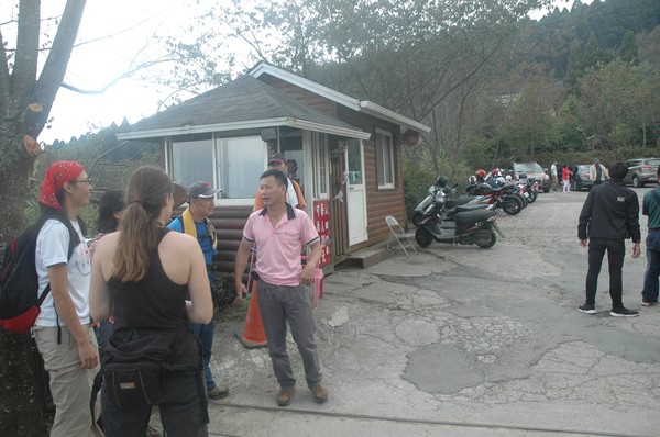
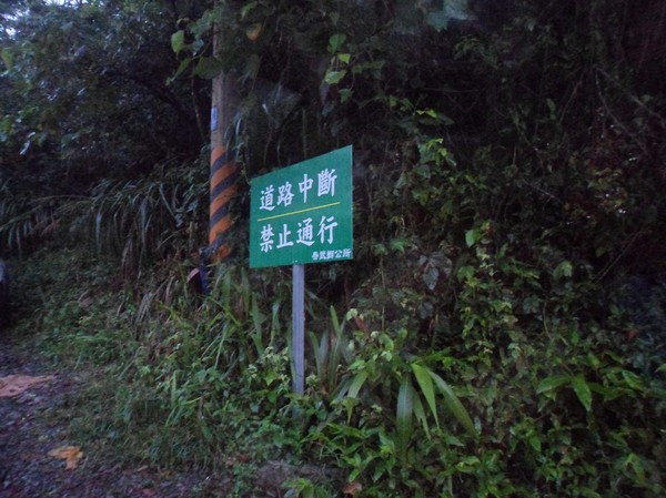
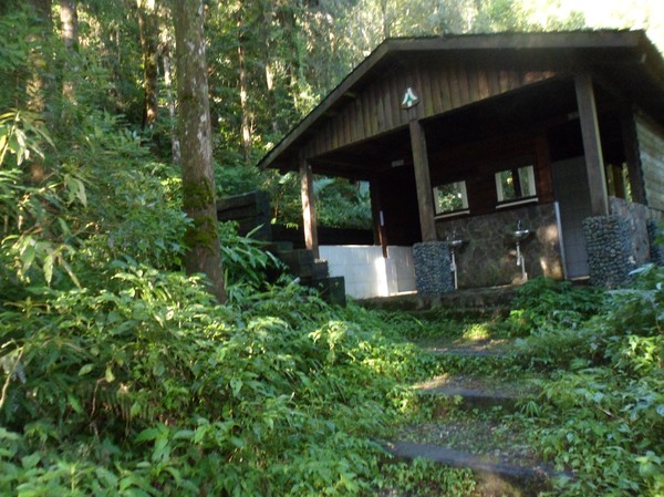
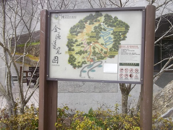
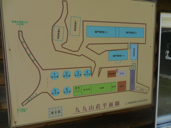
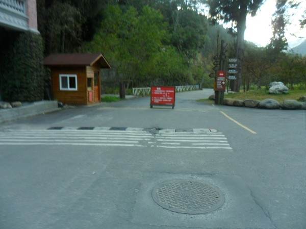
We heard there had 3 entrances to the hike...and some were free entrance...

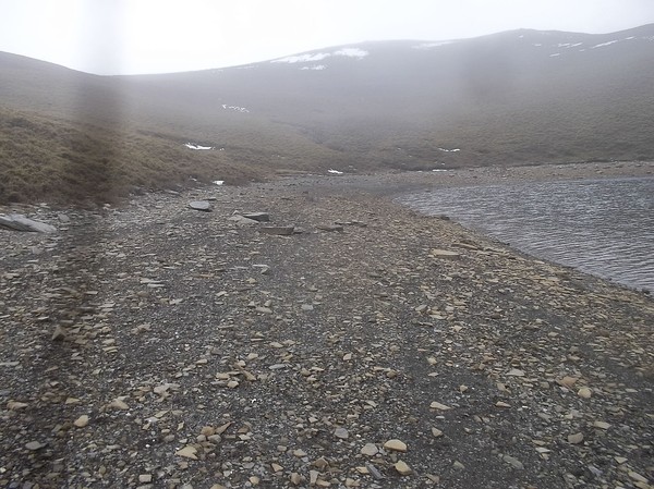
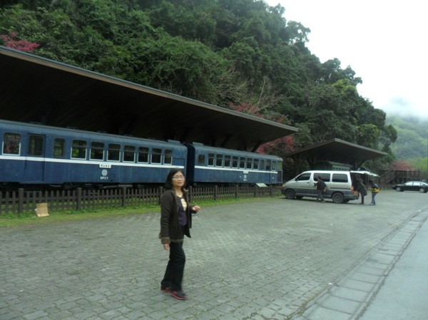
...apparently some bus also passed by here...
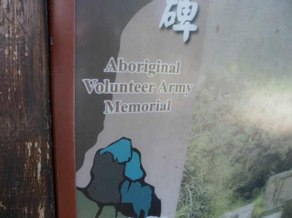
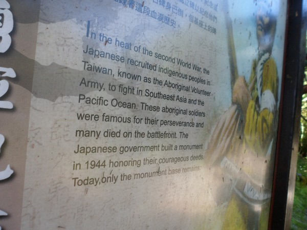
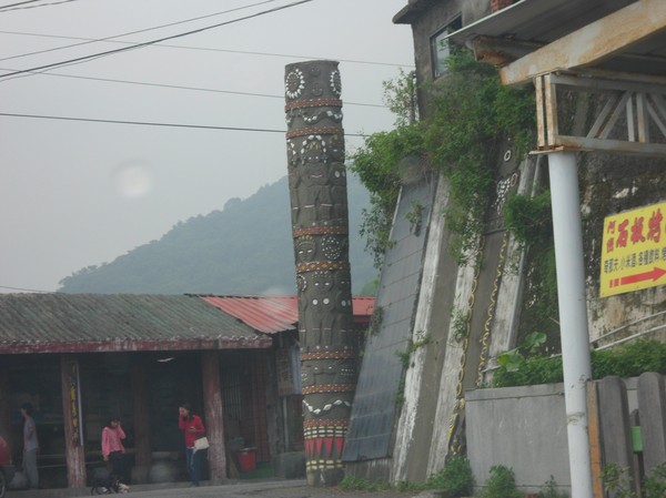
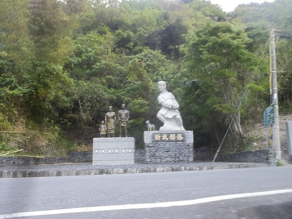
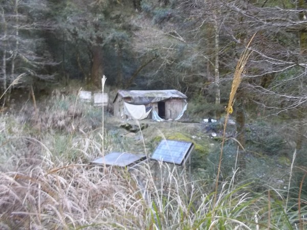
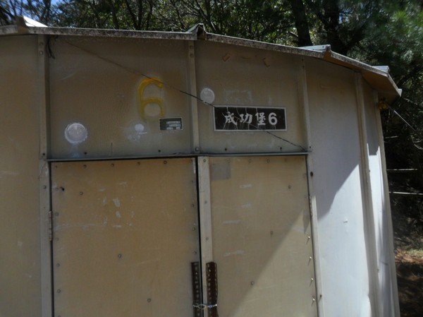
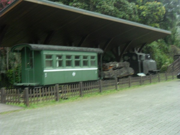
Some aboroginal worked here...
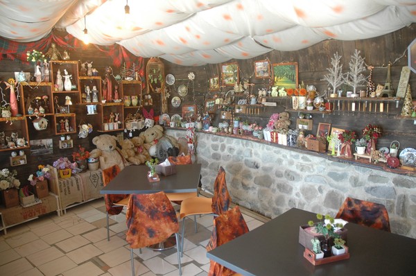
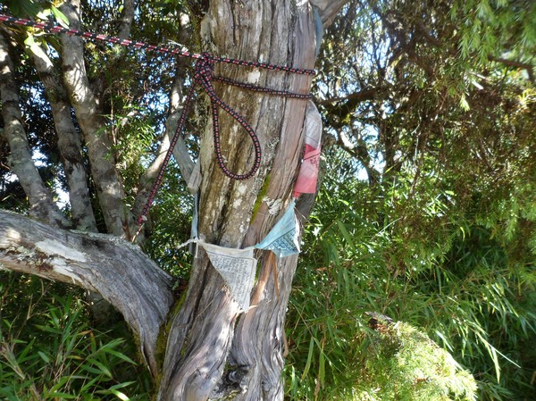
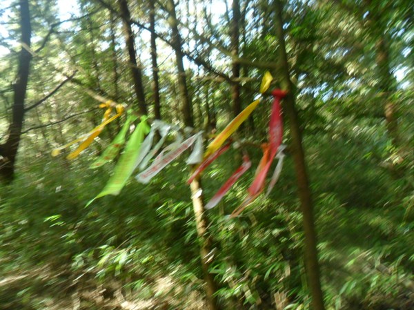
...they had allot of cute decoration inside...
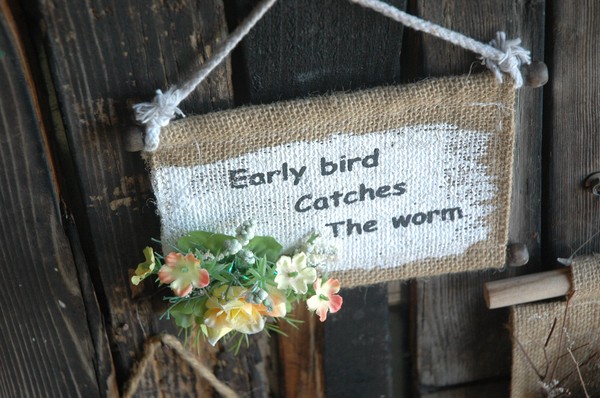
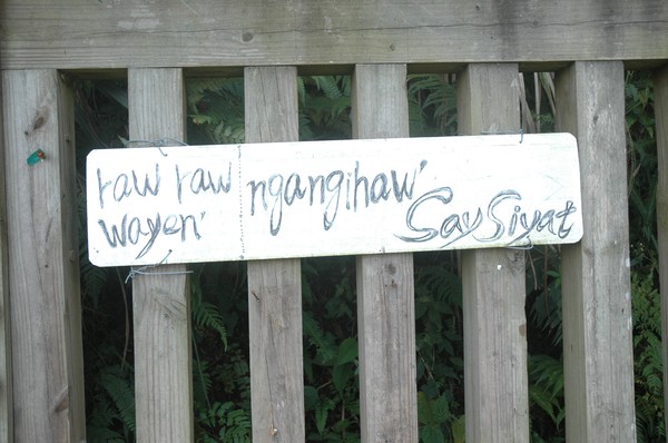
...with some quotes...

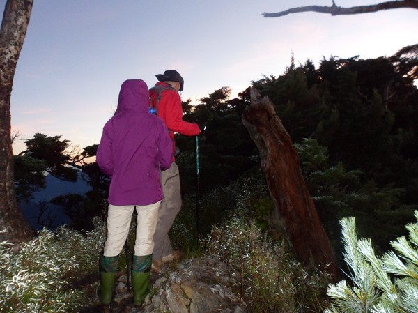
...the atayal guy...

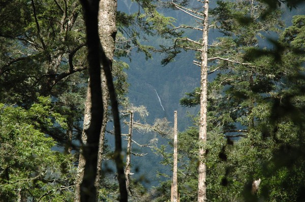
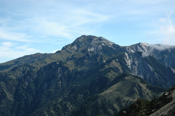
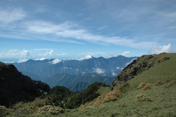
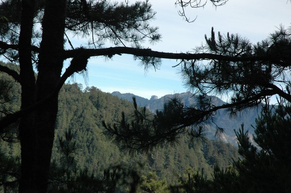
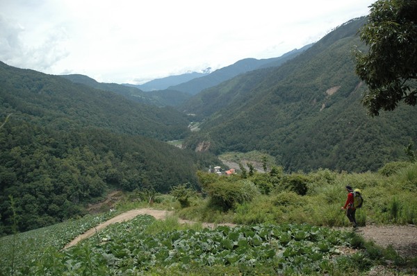
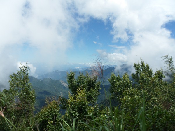
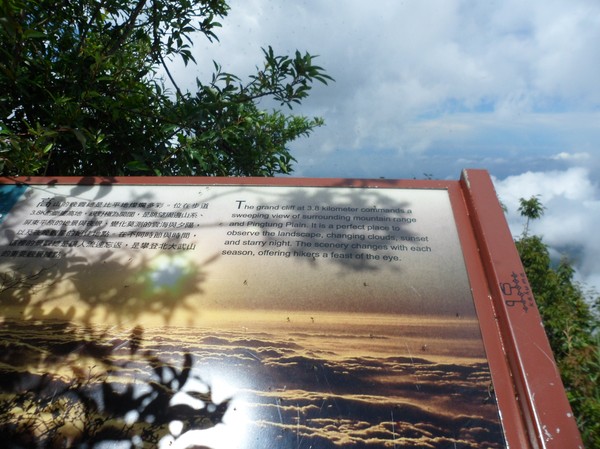
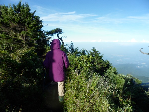
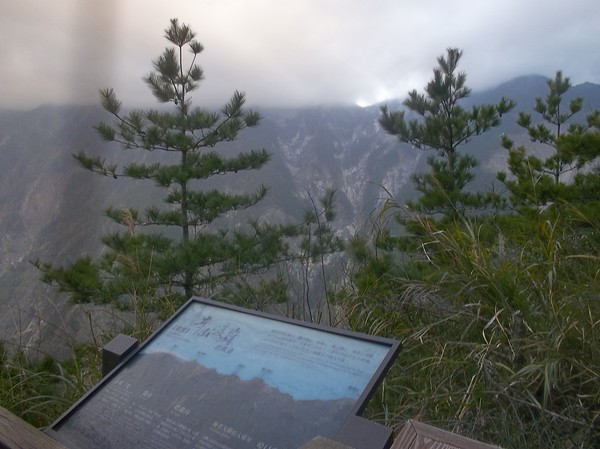
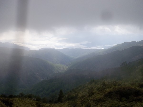
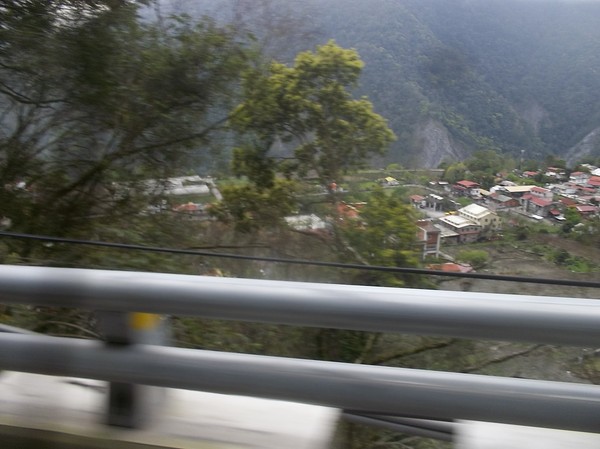
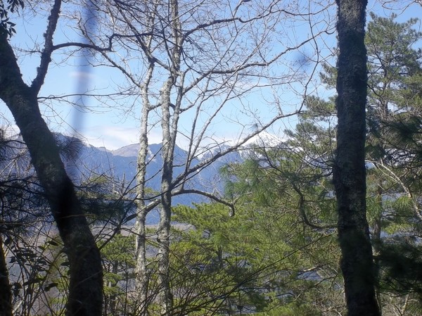
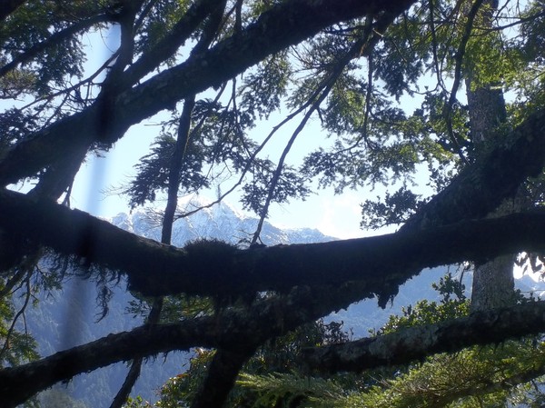
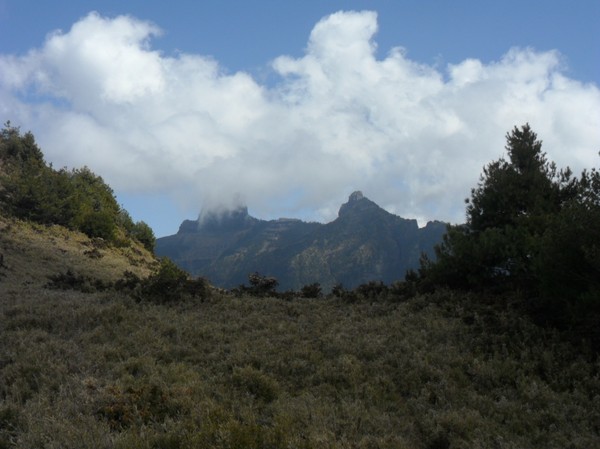
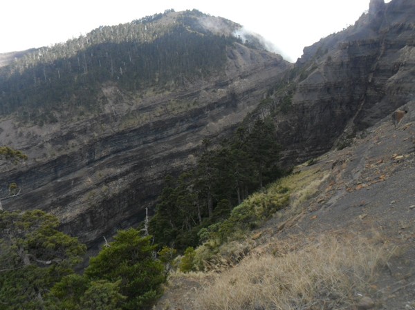
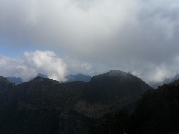
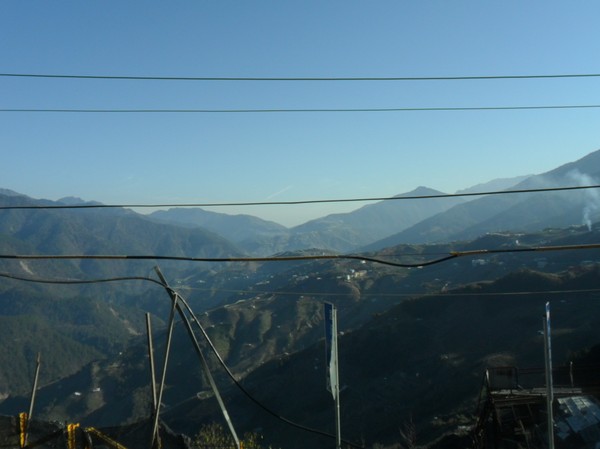
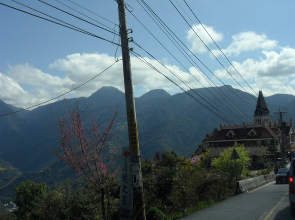
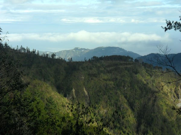
...and nice view...over some hsinchu mountain..

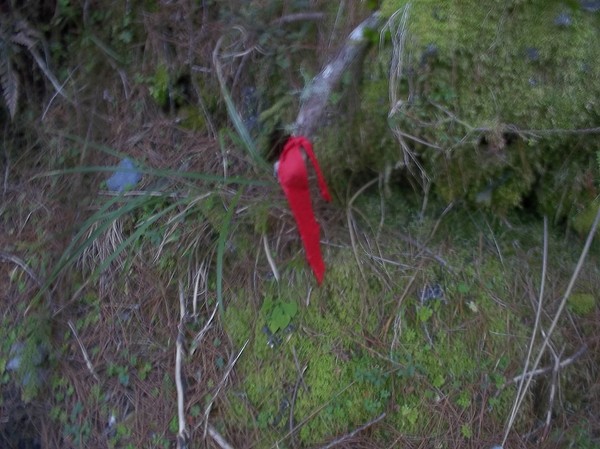
...i also found a dog with 2 different colours on his eyes...

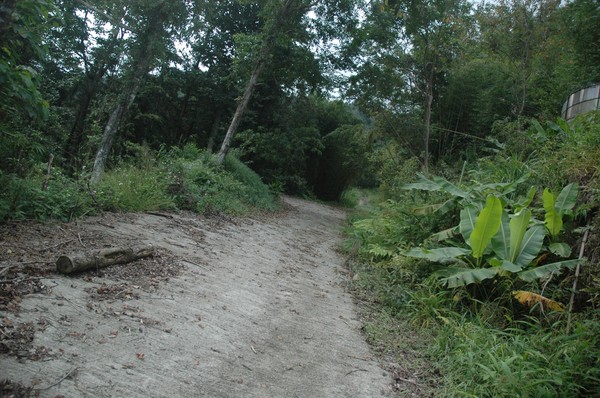
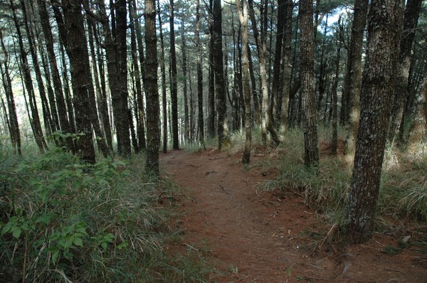
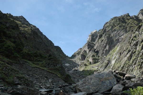
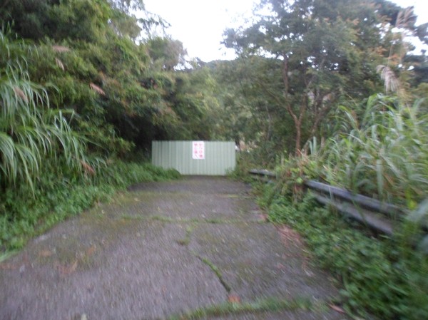
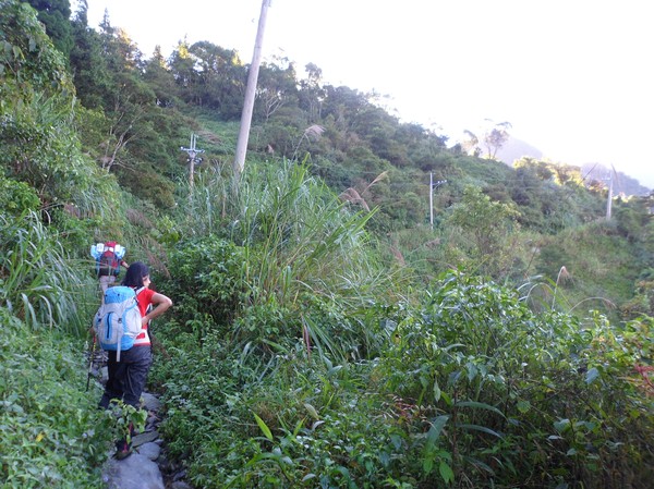
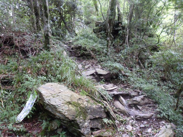
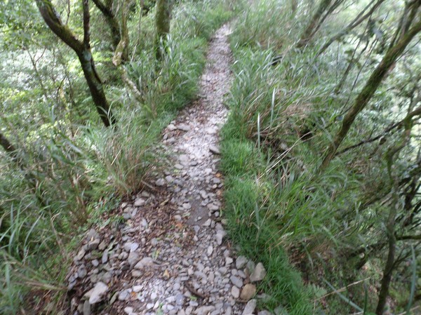
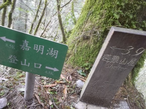
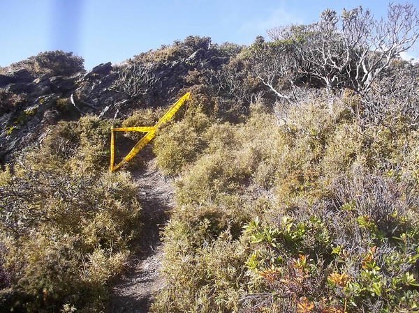
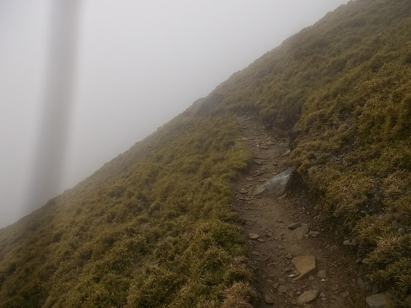
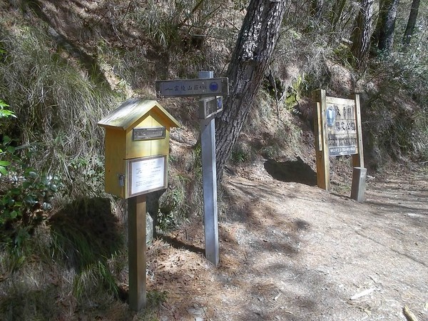
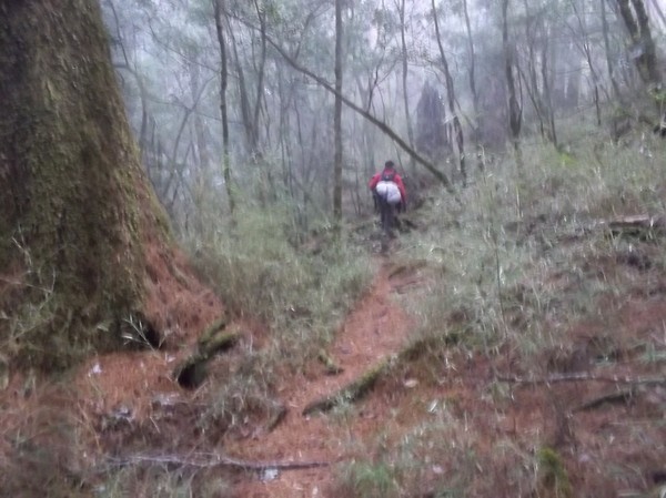
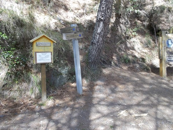
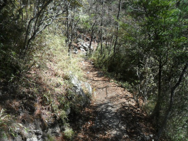
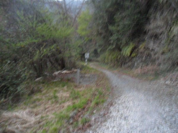
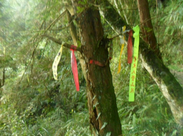
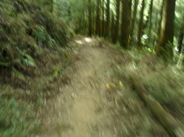
...after a while we found the trail entrance...
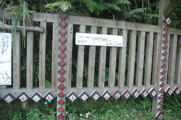
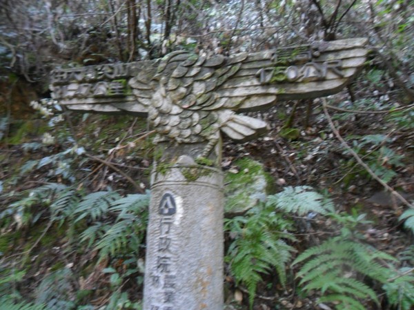
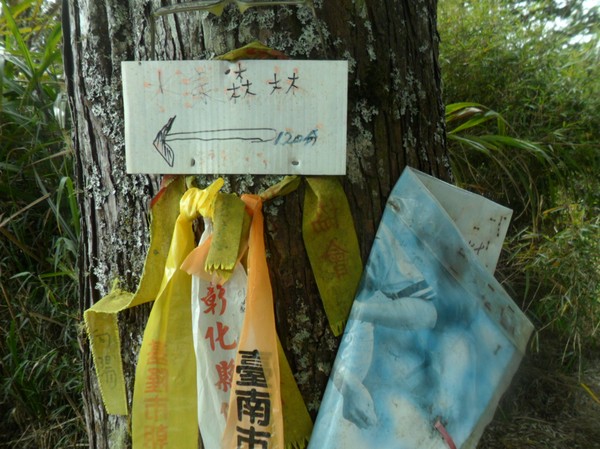
..it was a saisiyat area...
..not sure what this means...

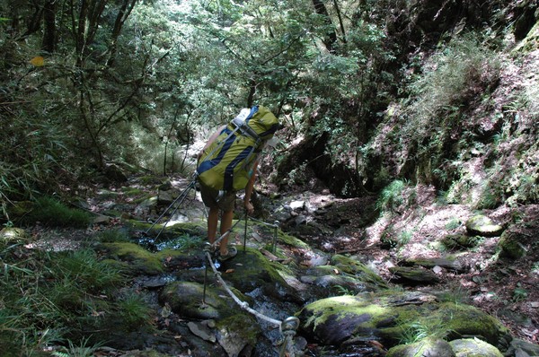
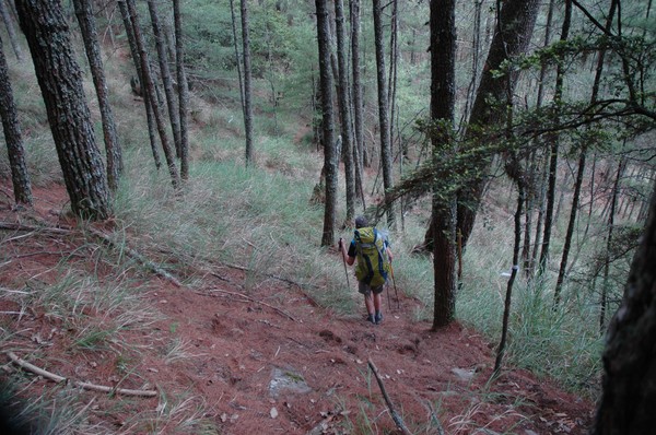
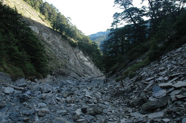
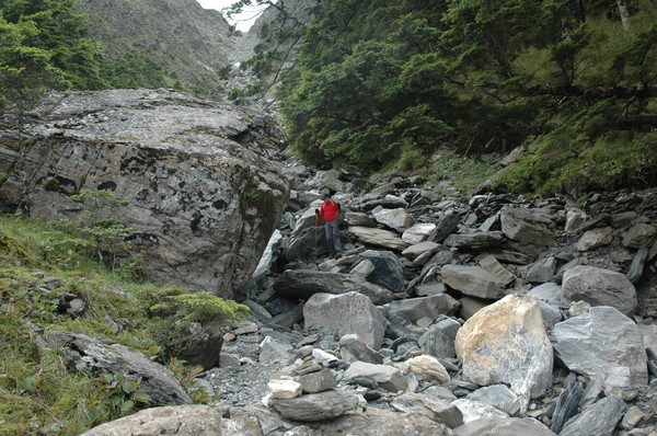
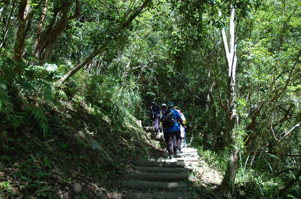
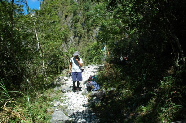
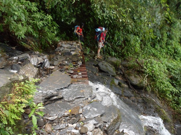
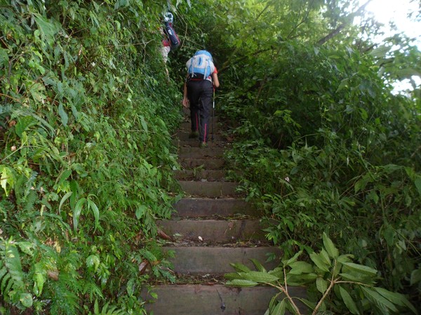
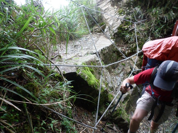
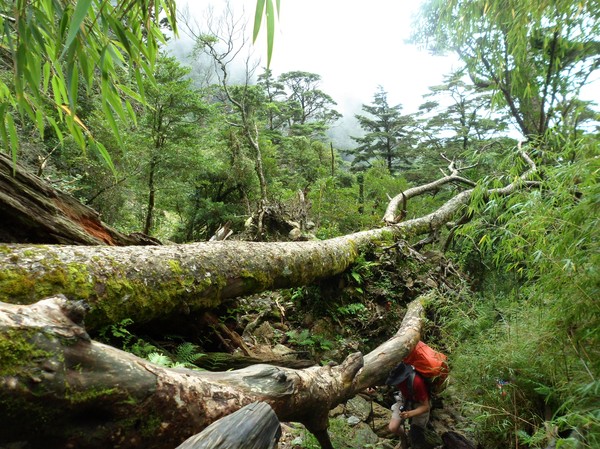
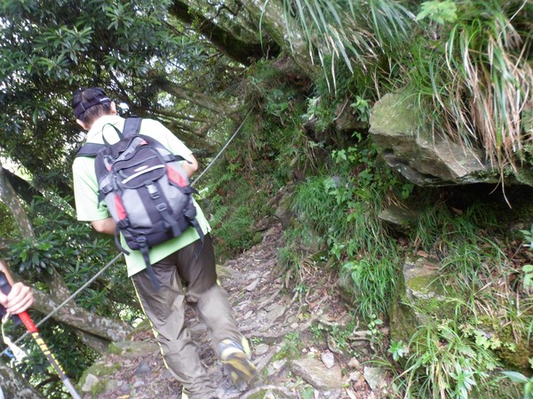
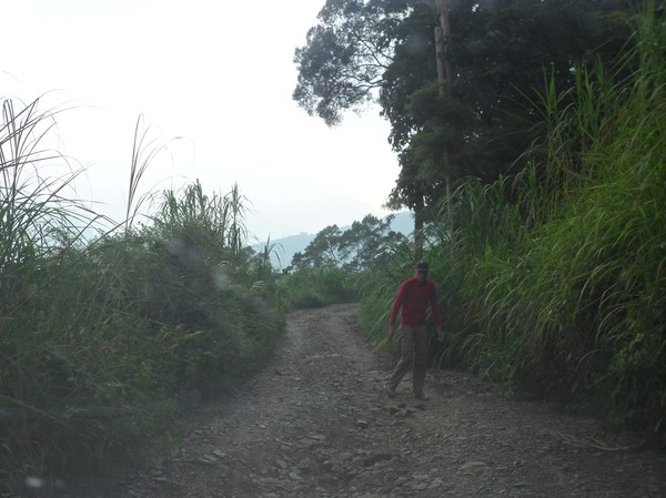
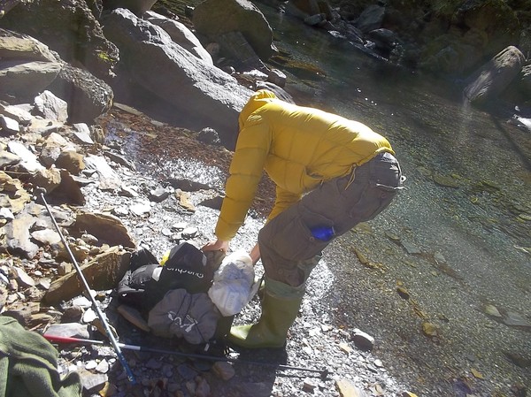
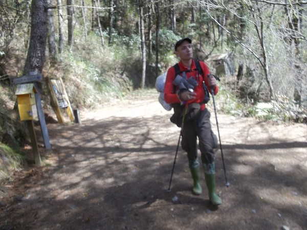
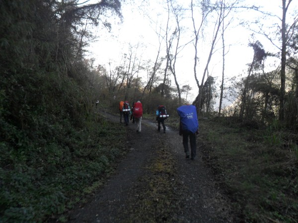
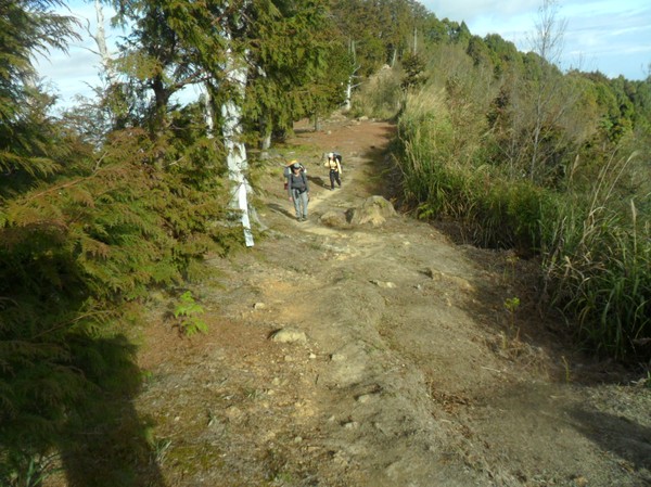
...chop chop start the hike...

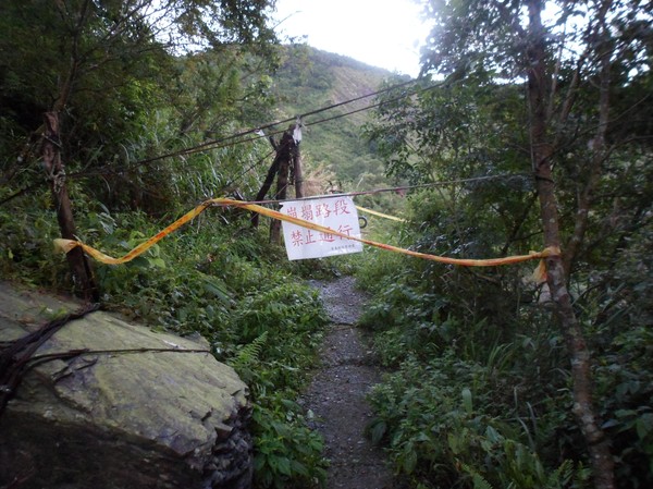
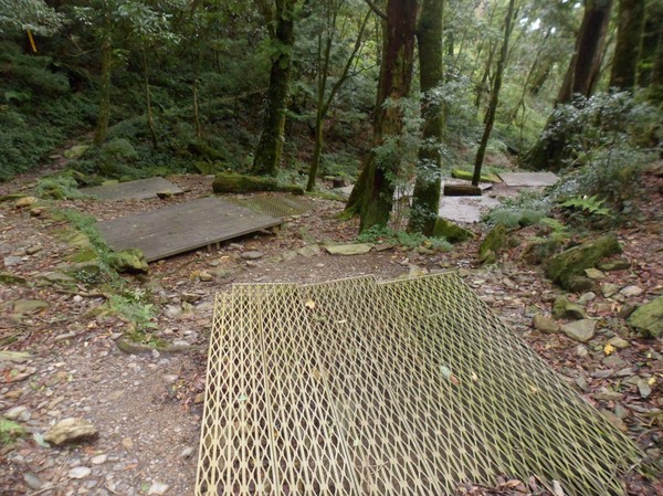
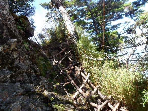
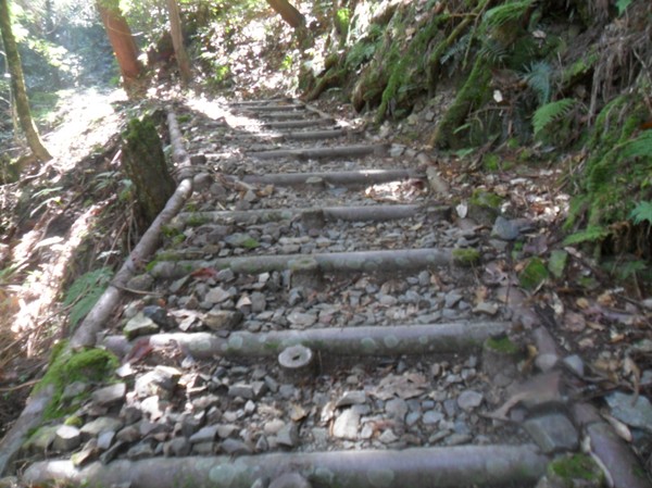
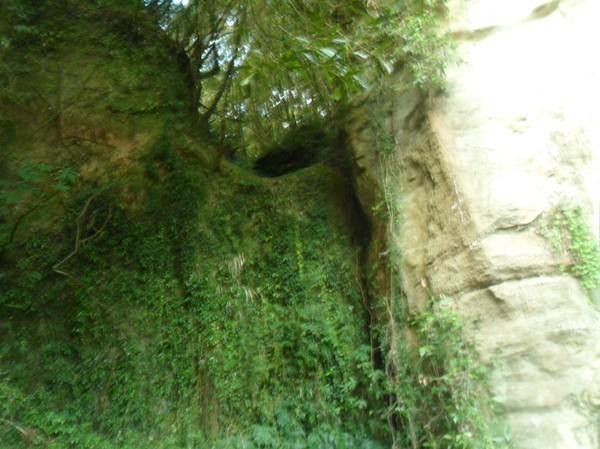
...the entrance had some broken stairs...

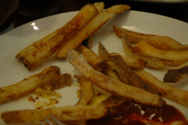
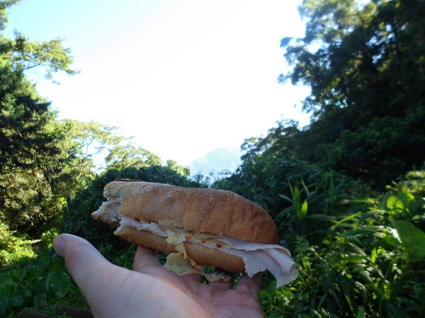
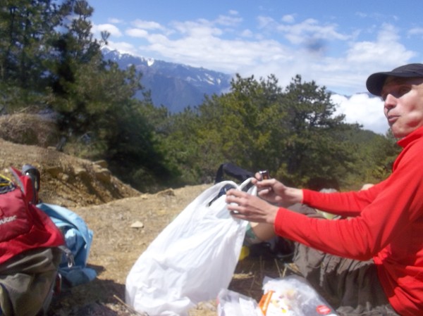
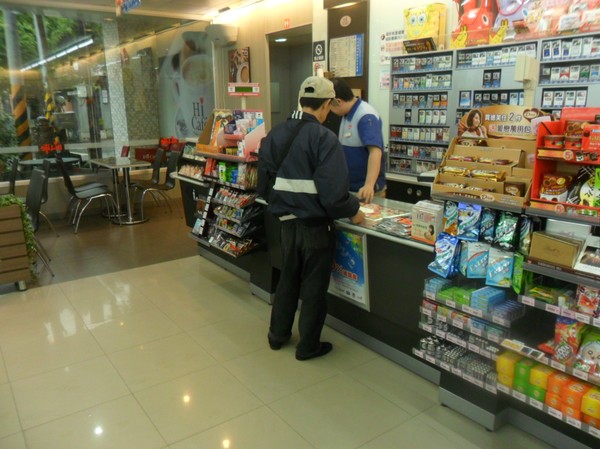
...i brought some burgers from family mart...

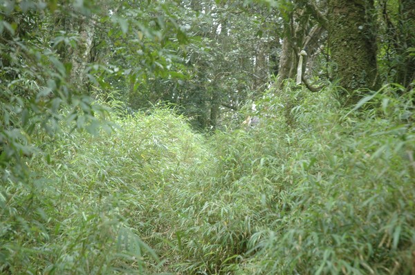
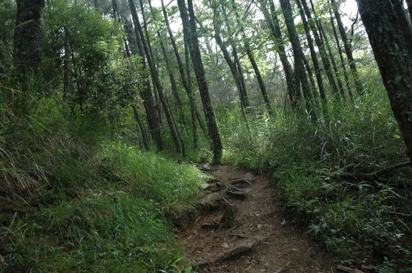
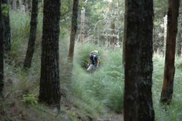
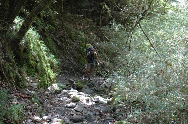
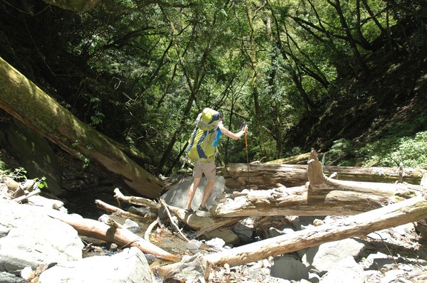
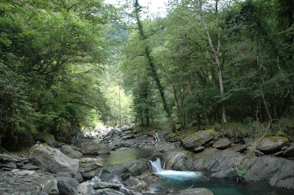
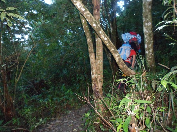
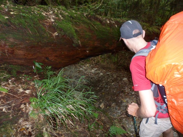
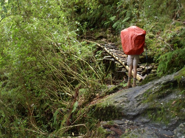
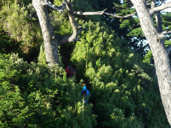
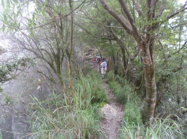
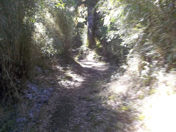
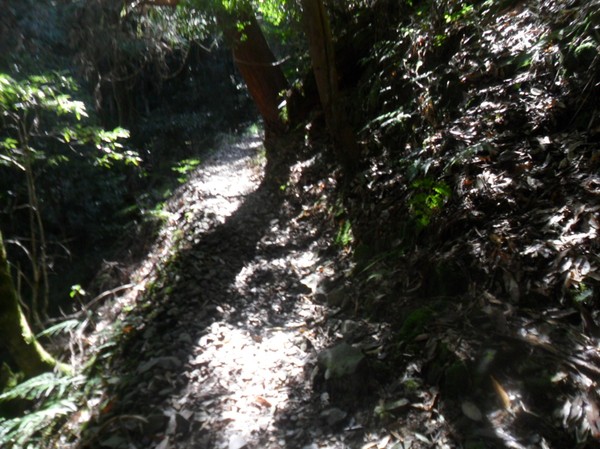
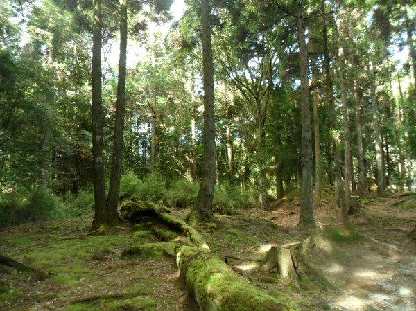
...we entered some bamboo jungle...
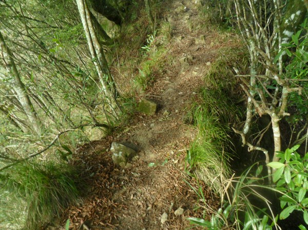
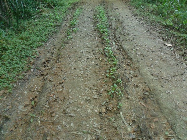
...and later some som road..
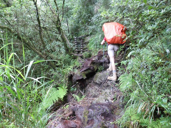
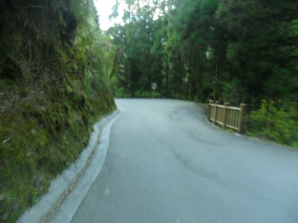
...steep contrete road...
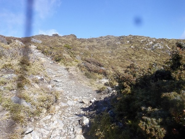
more steep road...
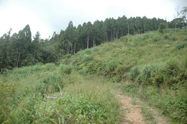
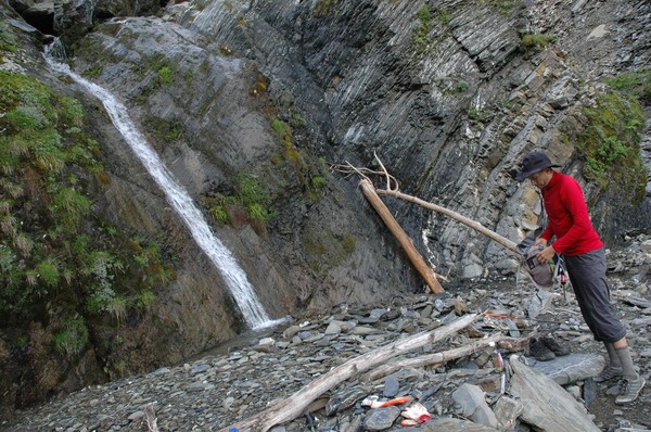
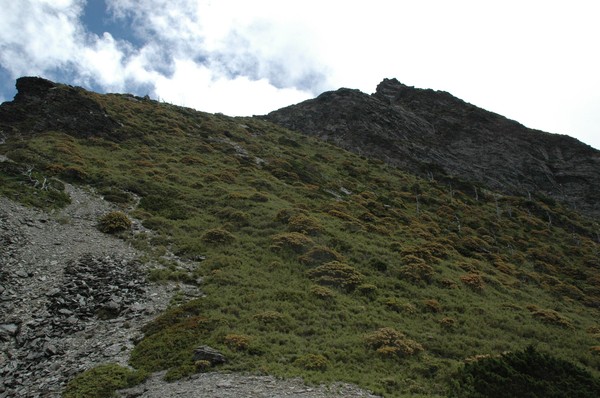
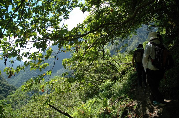
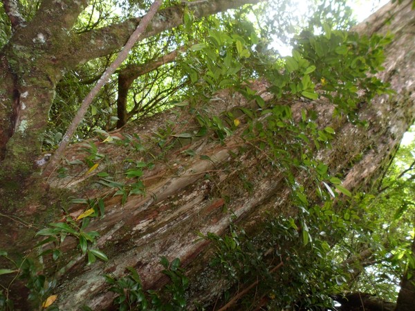
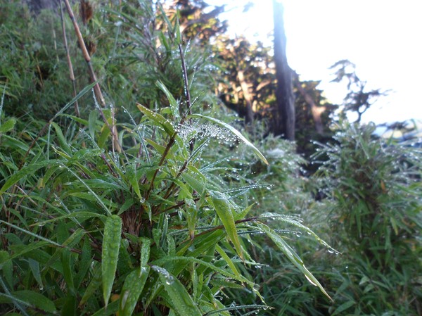
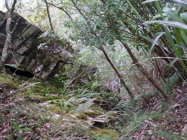
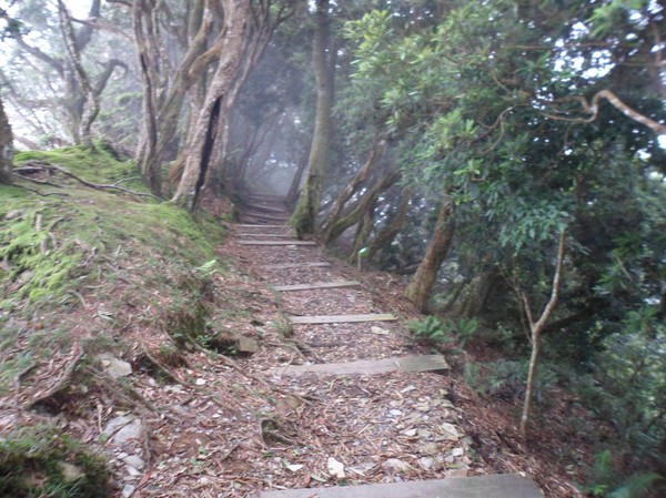
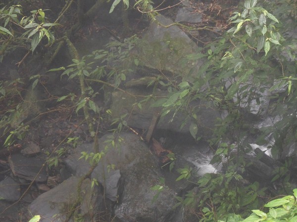
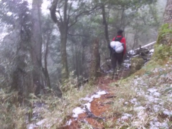
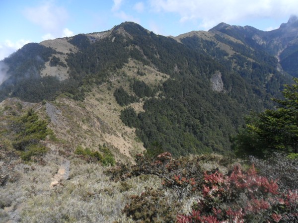
..and some green nature
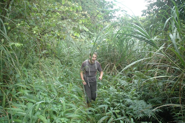
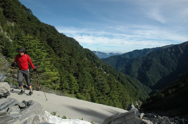
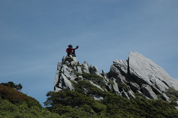
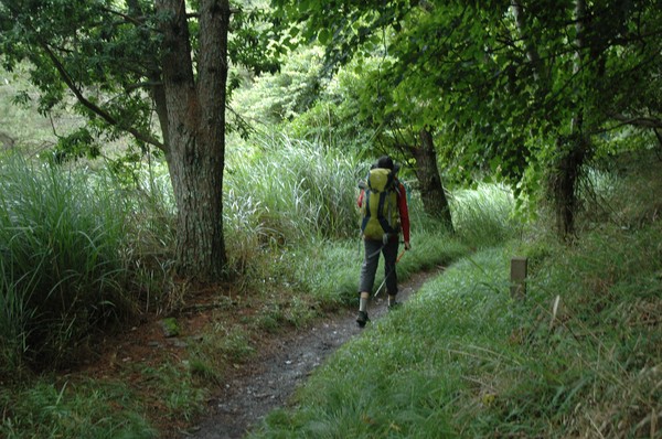
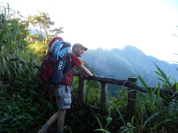
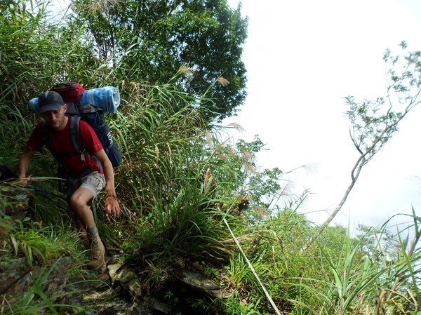
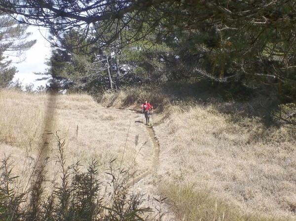
Robert was running in the grass...

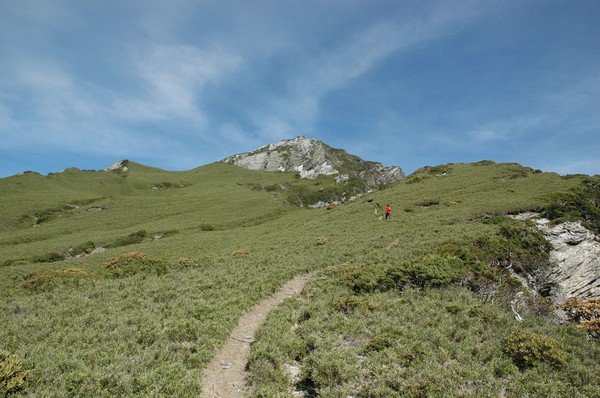
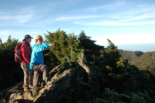
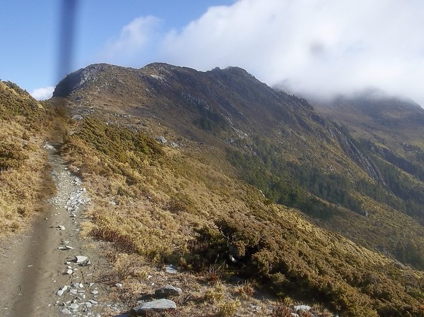
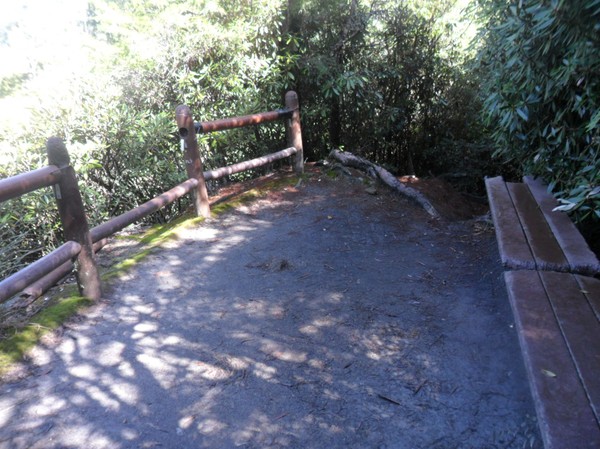
To some first peak...
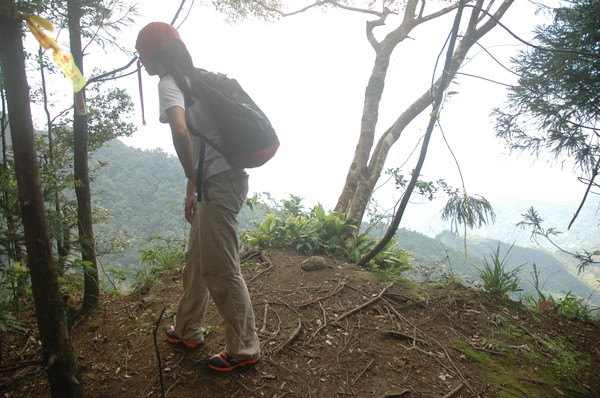
...and some second peak...
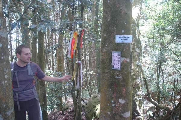
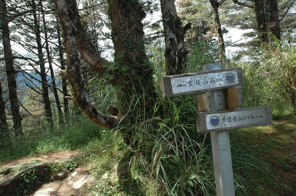
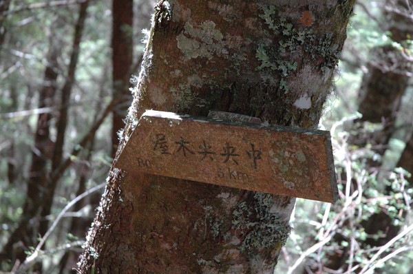
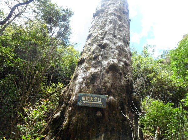
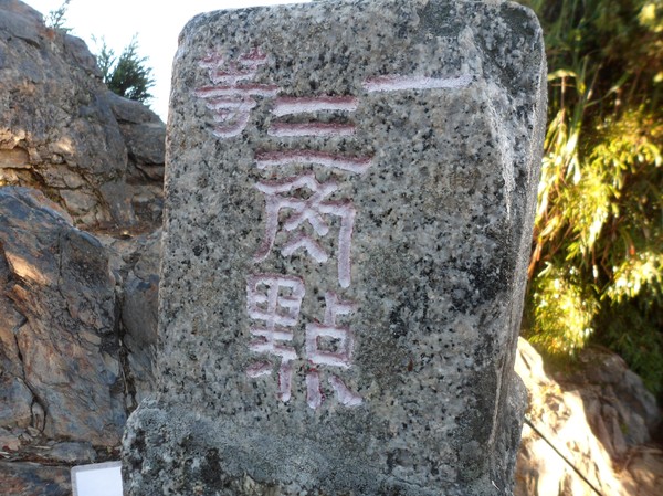
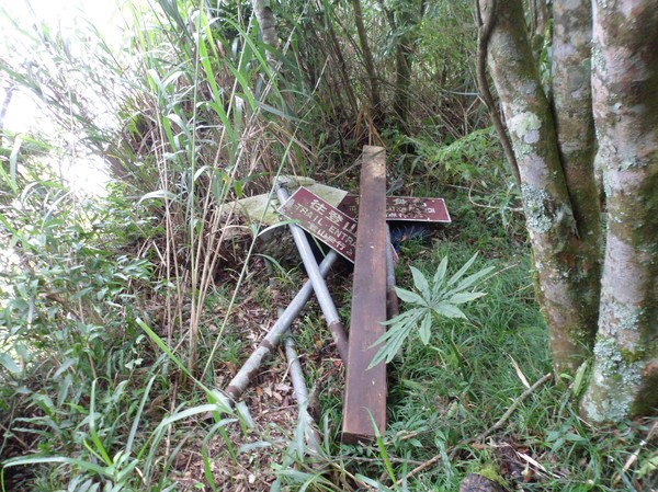
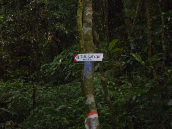
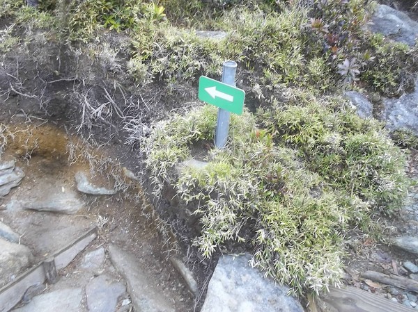
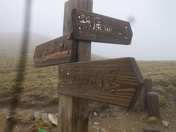
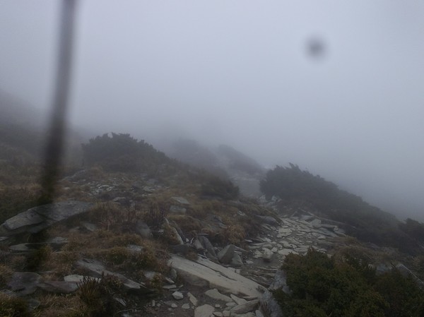
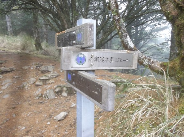
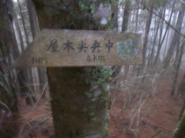
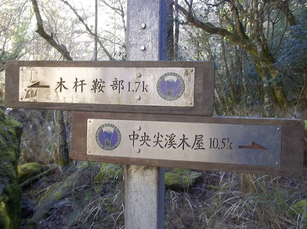
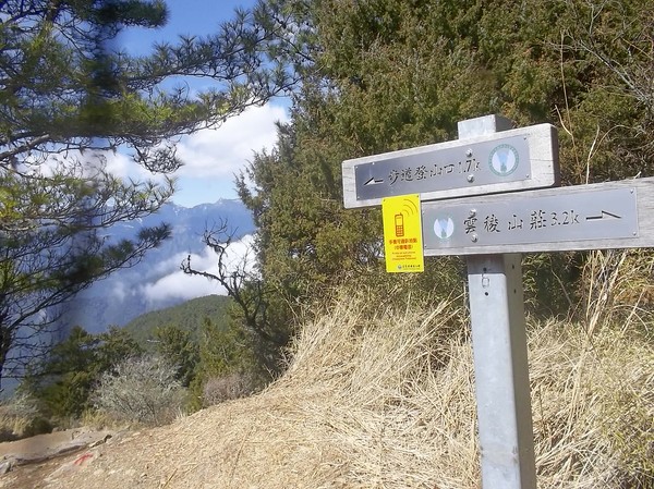
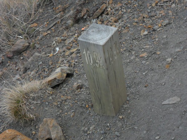
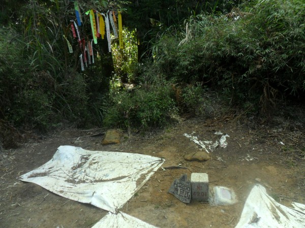
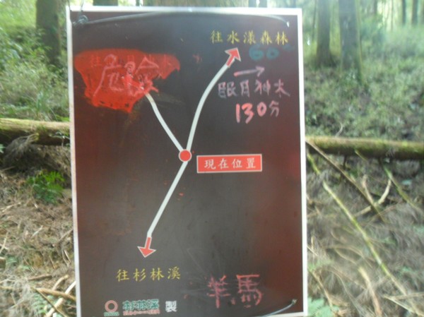
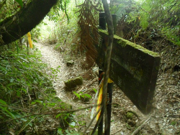
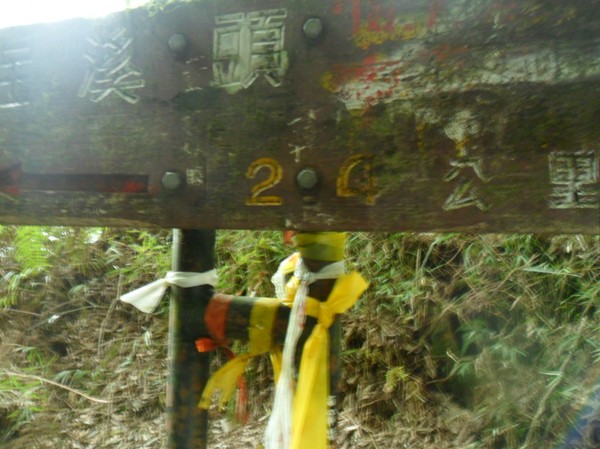
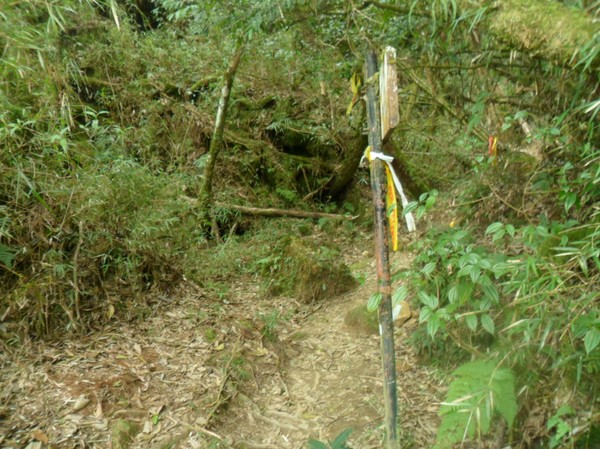
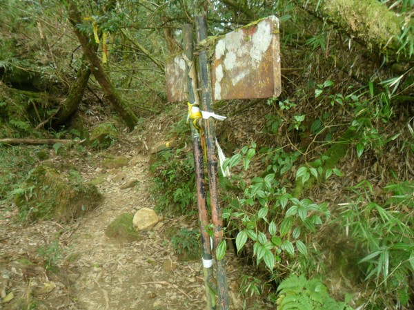
...they had some paper signs...the path ways...
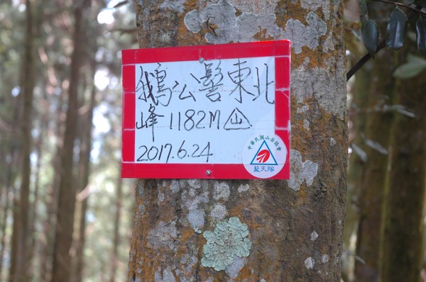
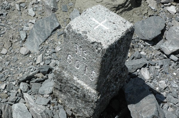
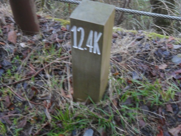
...and some hight..1182m...
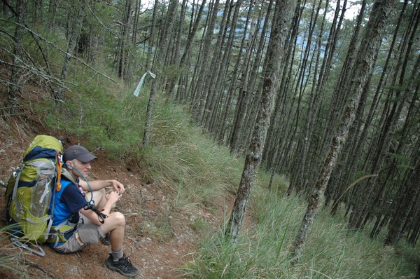
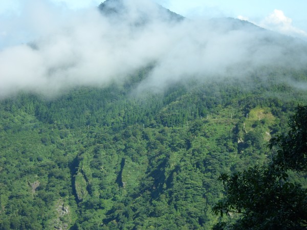
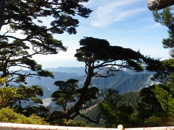
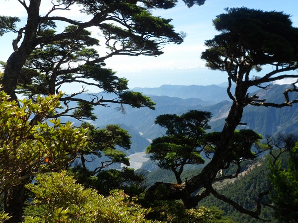
...plenty of pine trees...
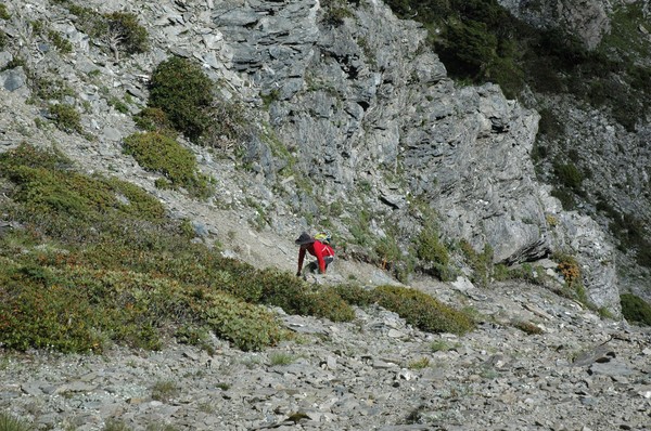
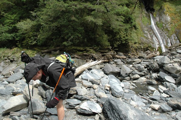
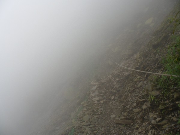
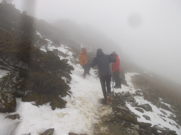
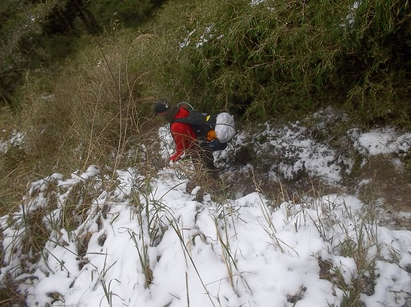
And then it became steaper...

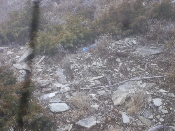
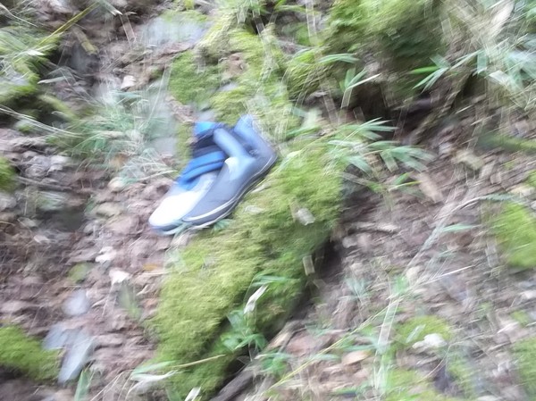
omg...some plastic bottle...
...we also met some old people...pretty close to the highest peak...

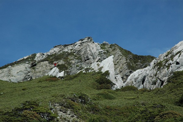
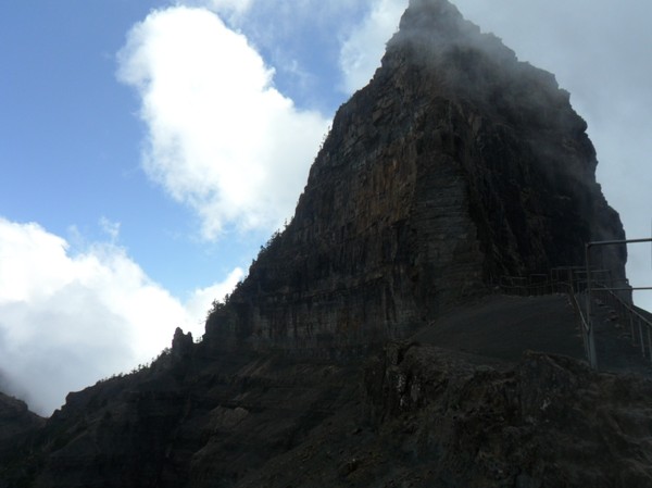
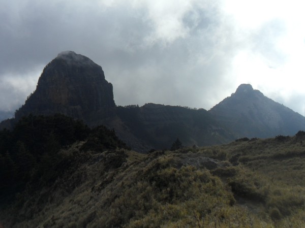
...omg some steap wall...
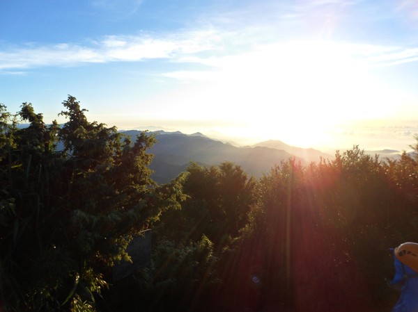
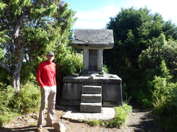
...after some time we reached the peak...
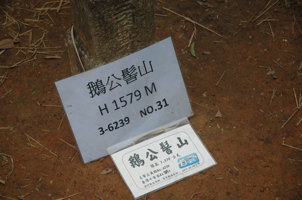
...1579m high...
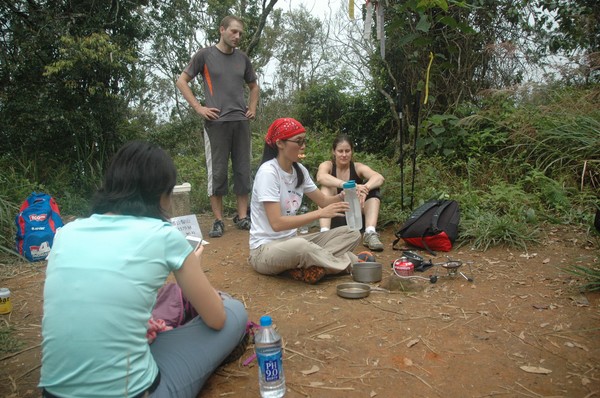
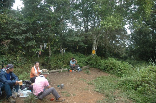
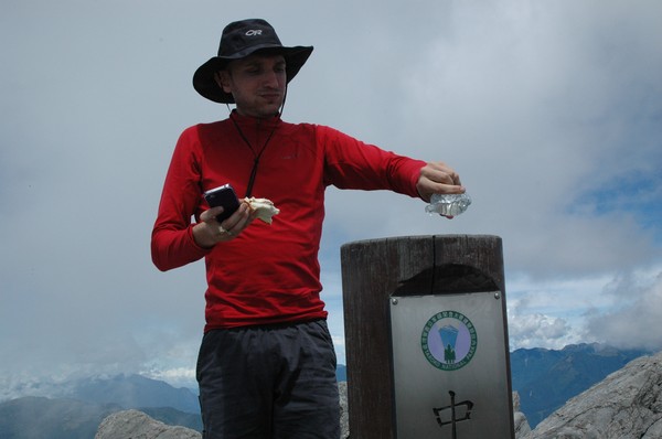
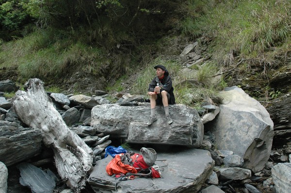
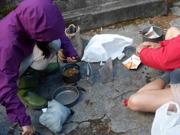
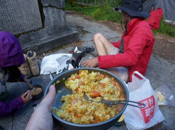
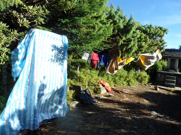
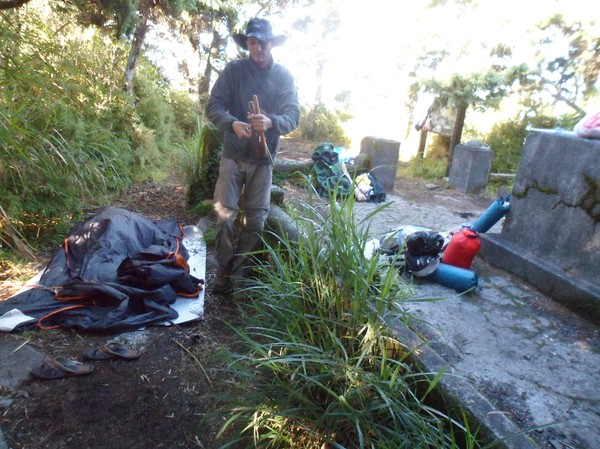
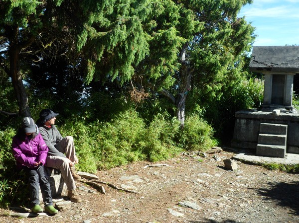
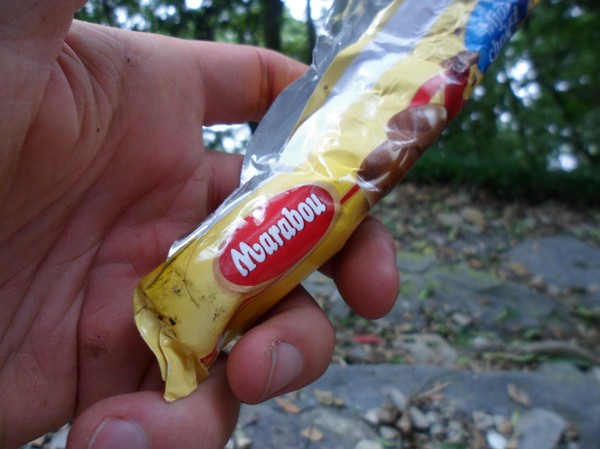
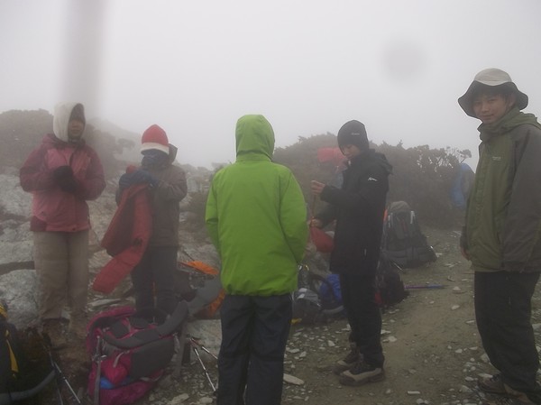
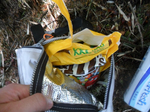
...we had some snacks here...
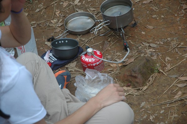
Some people brought a kitchen to make tea...
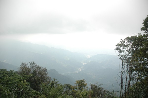
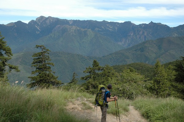
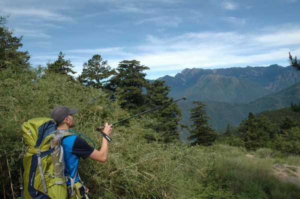
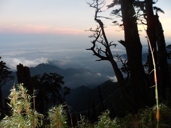
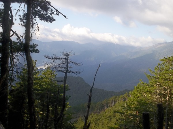
...view over hsinchu...
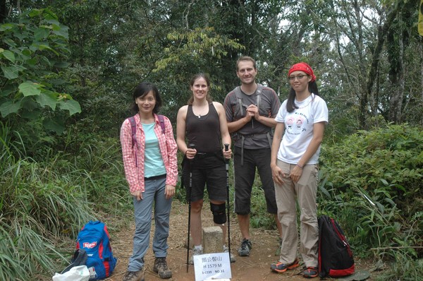
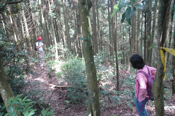
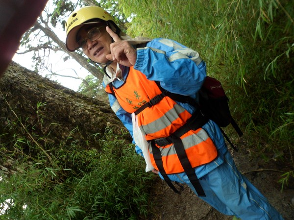
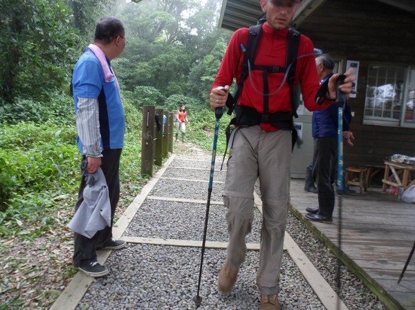
the climbing gang...
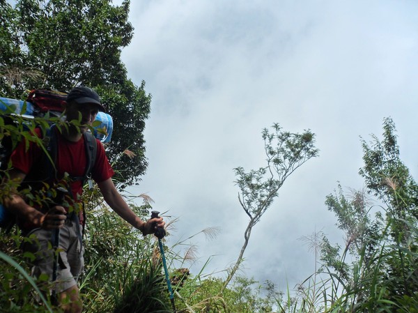
And then we went down...

Robert took the lead...
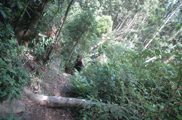
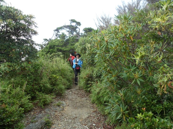
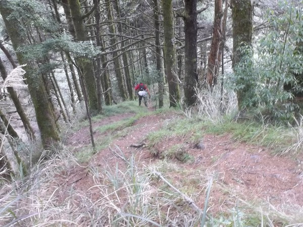
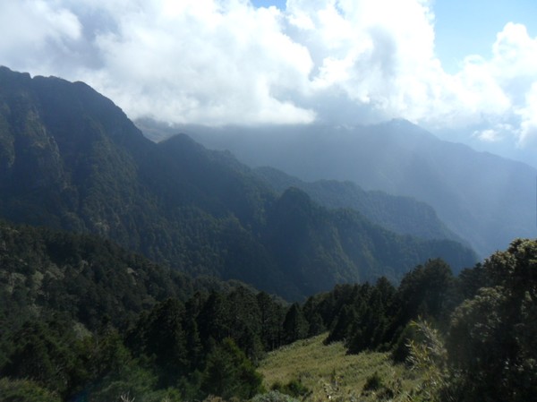
More jungle...

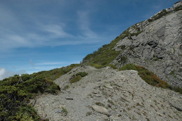
...the rest of the hike was easier...wider path...
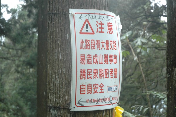
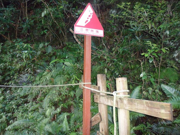
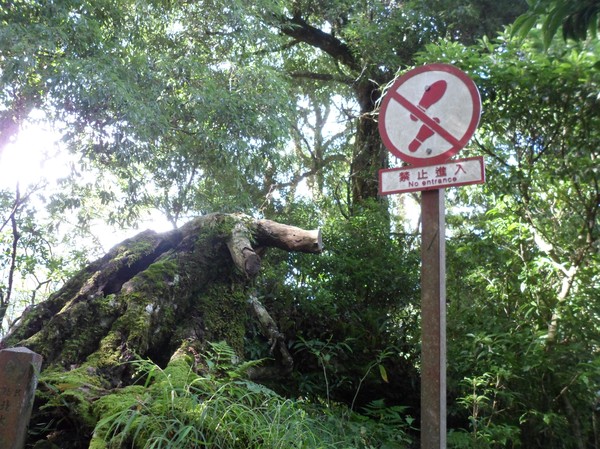
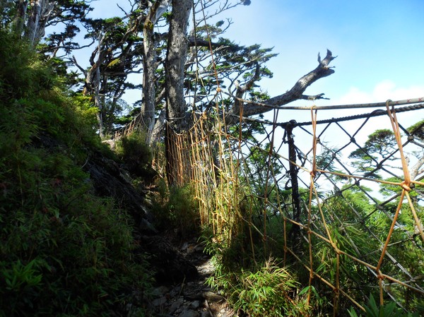
...some warning signs...

...and more pine trees...
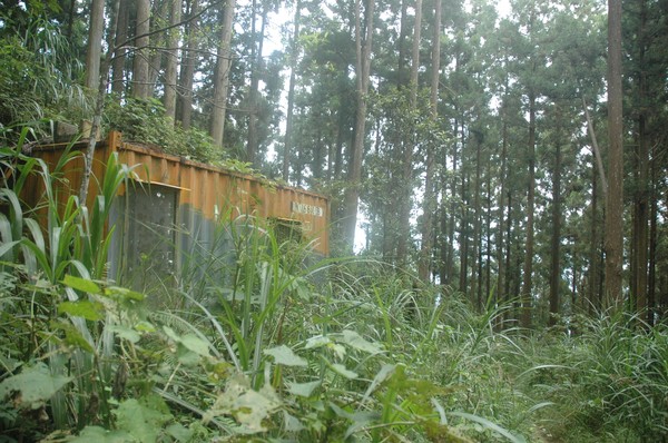
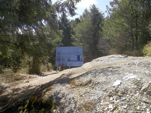
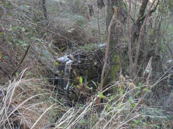
Omg...a container...in the forest...

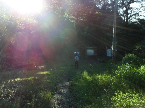
after a while it was a wider road...perfect for downhill cycling...

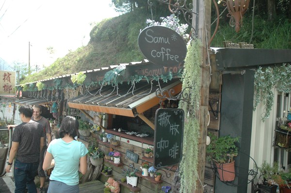
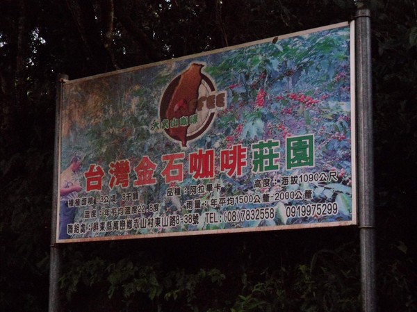
...we were heading to some coffee store...

...and some "forest area"...

...finally reached it...

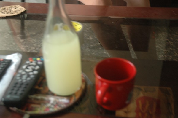
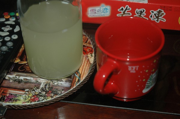
Some high mountain tea...i think...
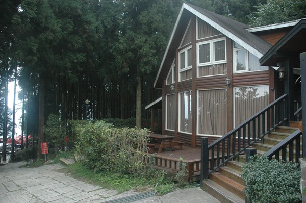
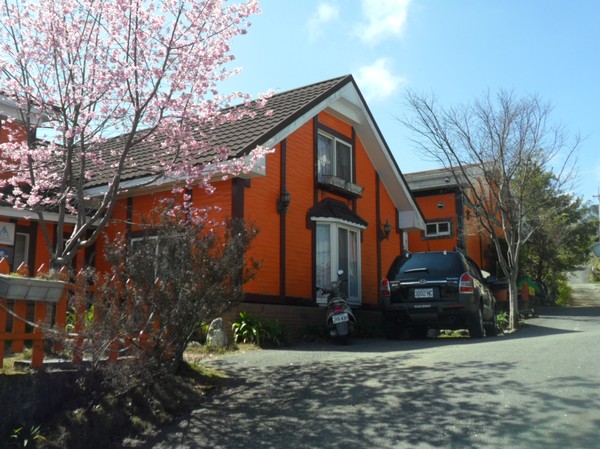
...and the houses looks like home...almost...
...or like in the southern part of germany..
...we also got offer for a free ride back to our car..
...pretty nice...
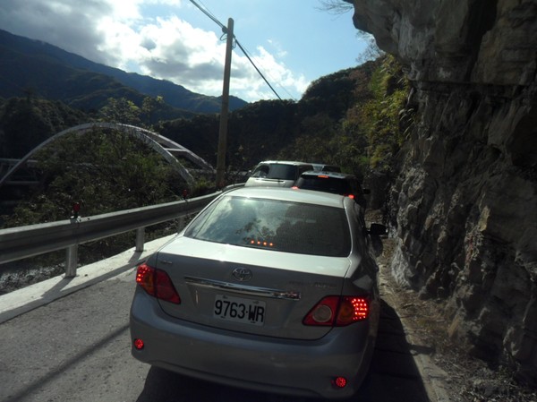
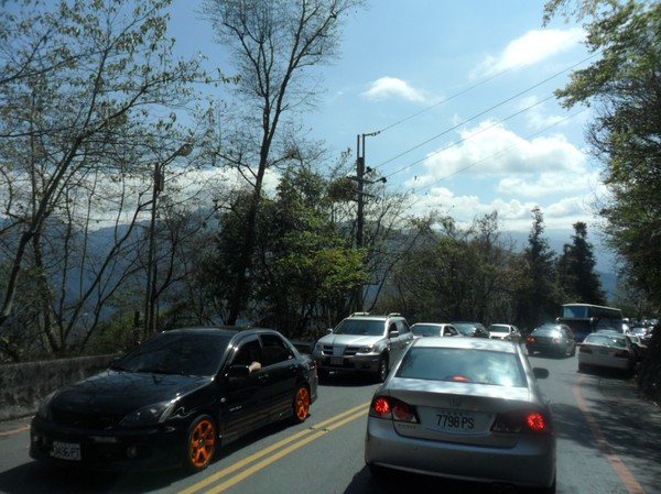
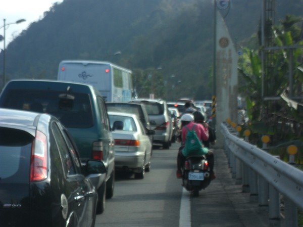
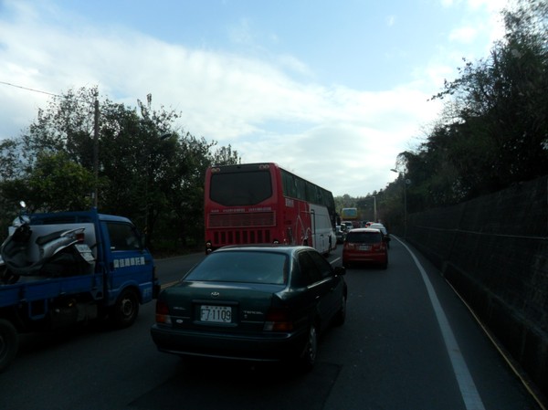
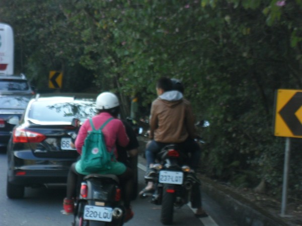
...some traffic jam...

And we were back to the 2 coloured eyed dog after some while...
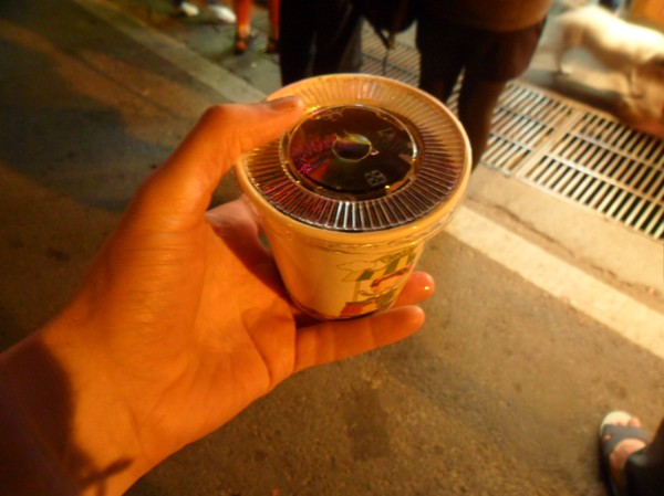
...i visited a store at the saisiyat area...to buy osme aboriginal thing...
..i ended up buying xiaomijiu..i hope the saisiyat made it...
No one wanted to drink with me...so i ended the whole bottle...

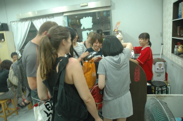
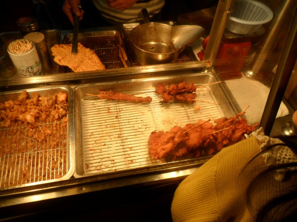
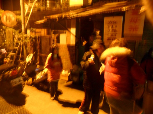
we also went to this fish place...
and this funny guy showd up ...most people were old NTU student...
the resturant gang.....

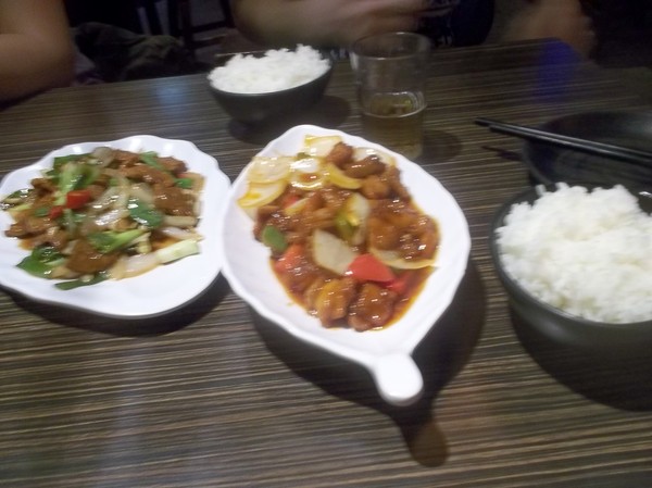
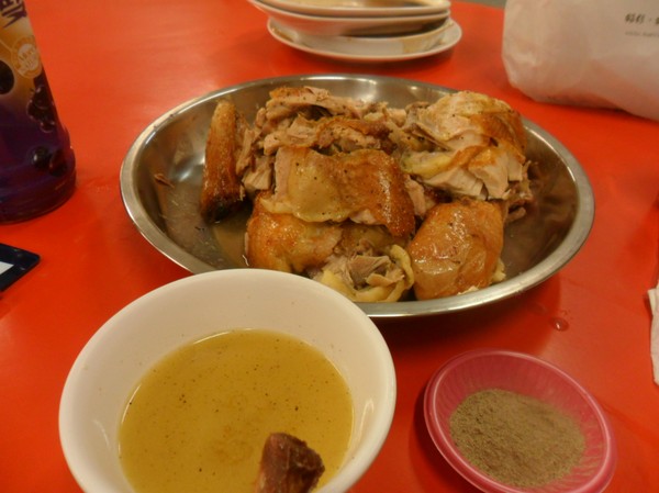
Plenty of taiwanese food...
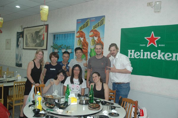
Some group pic...
They people hadnt seen 20nt before...they had to take pic...

Omg...they had kavalan whiky...2017 continues...
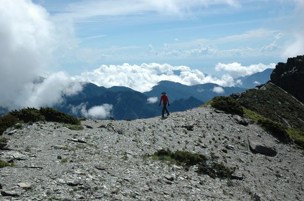
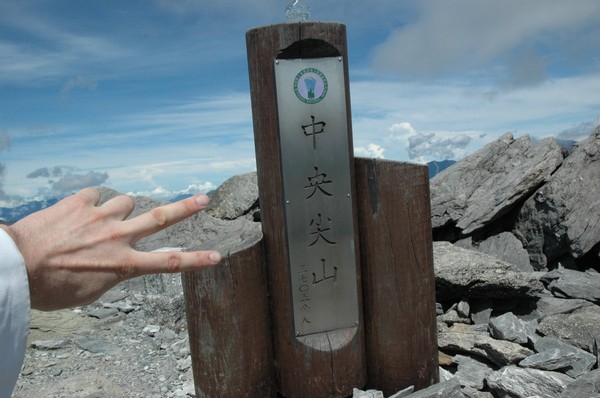
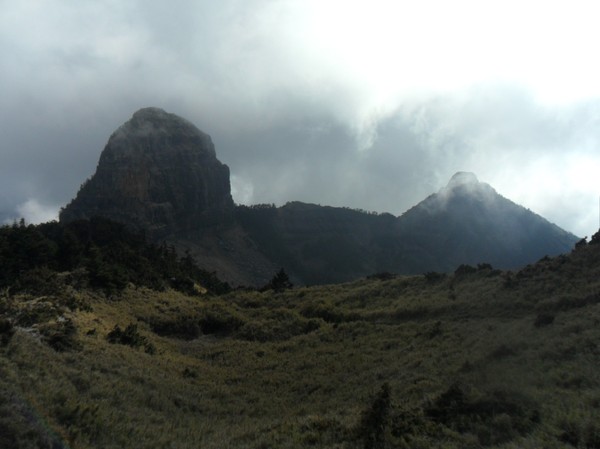
A hike to Zongyangjianshan (中央尖山/Central Range Point)
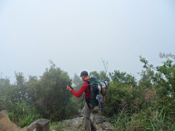
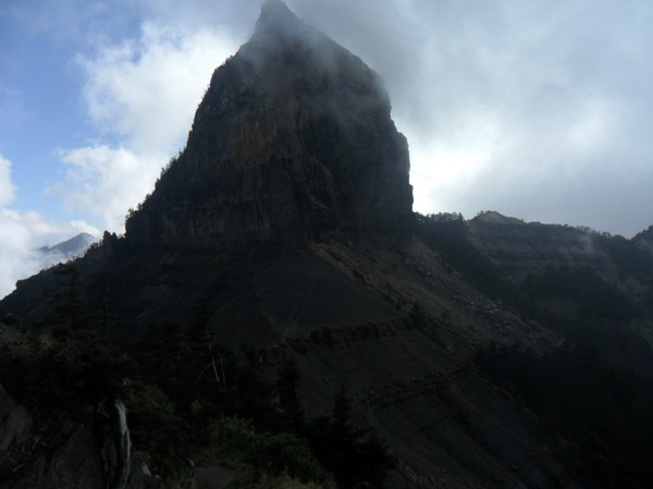
The "only pyramid shaped mountain in taiwan" i was told...
It has been on my bivket list since 2010, when I went with a m ountain climbing club for some lame mountains
I drove from Jiayi north on road 14...in the night...passing Puli, they use to have a swedish restaurant here...
I also made a 7-11 purchase of alot of food...

Then we passed the highest road in taiwan...hehuanshan...or wuling...as it also is called...
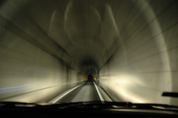
Some tunnel on road 8...towards road 7...
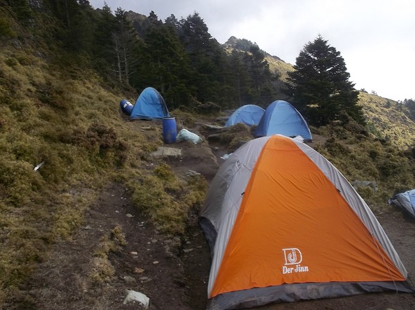
And then I slept in tent at the trail entrance of zhongyangjianshan and nanhushan....
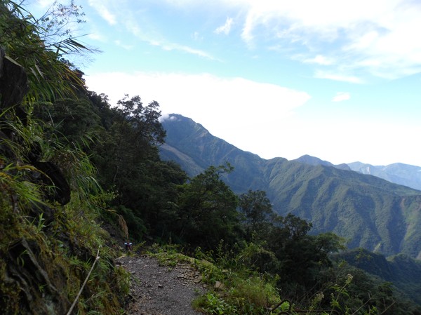
After some hours climbing I could se Snow mountain..or xueshan...
And there...pintian and a part of the "holy ridge" corssing taiwan...vbut it partly borken at hsinchu area...
After some time we reached the trail entrance...time to dump some papers...mountain climbing is very complicated in taiwan

some random tais climbing...and many some hongkong people
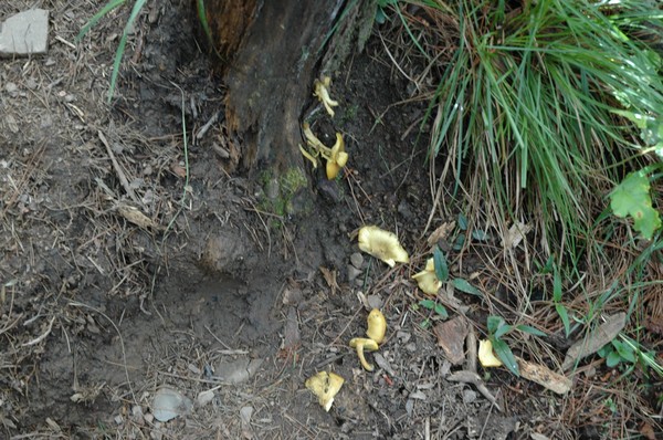
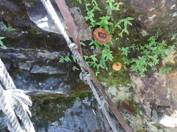
omg...mushrooms...
starting on nanhu trail...up up up
my cookies became pillows...the air pressure is low here...
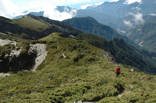
and up here abobe 2000m its mostly pine trees and bushes...
cory walking in the grass...

he walked this trail 12 times...he likes to hike...but he only reached the mountain we are heading to now once...2 weeks ago...after 4-5 attempts...

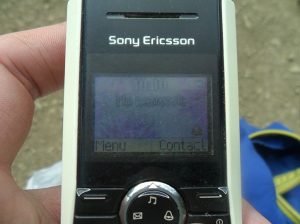
its hard to get a good reception on ytour phone up here..so the few spots that have connection they usually announce it with a sign

a pic taken at a remote area on taiwan...

Another mountain pic

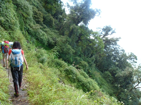
And cory walking up the hill
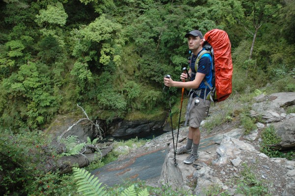
Enjoying the view
He knows every name of each peak...impressive

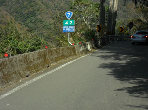
and far down there is road 7 and some random village
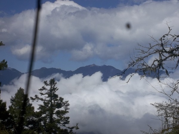
and some clouds
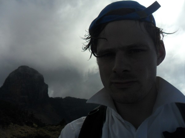
Johan posing with our destination in the background...zhongyangjianshan (中央尖山)
After a while we had to leave tha large nanhu trail
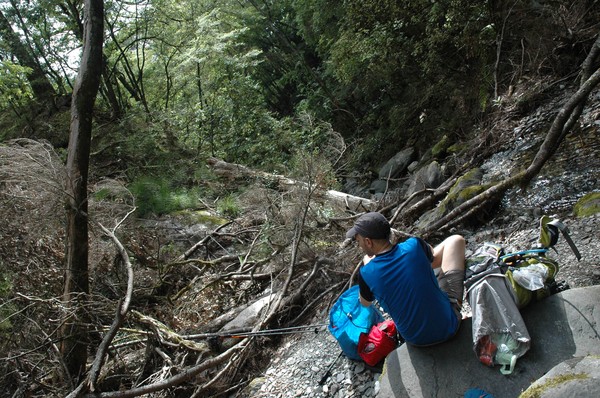
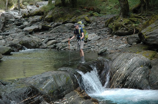
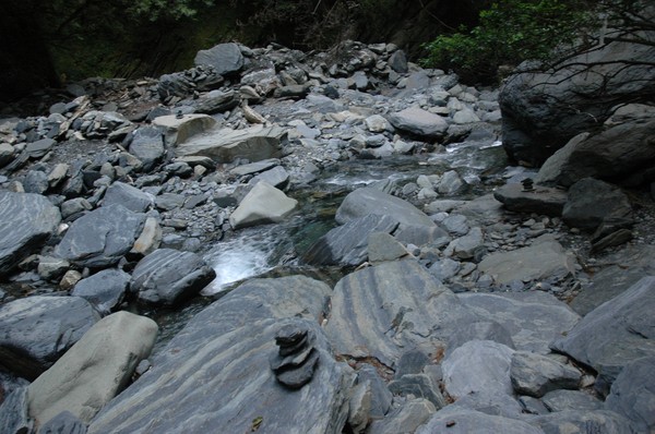
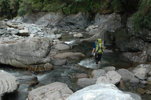
and walk down a river...
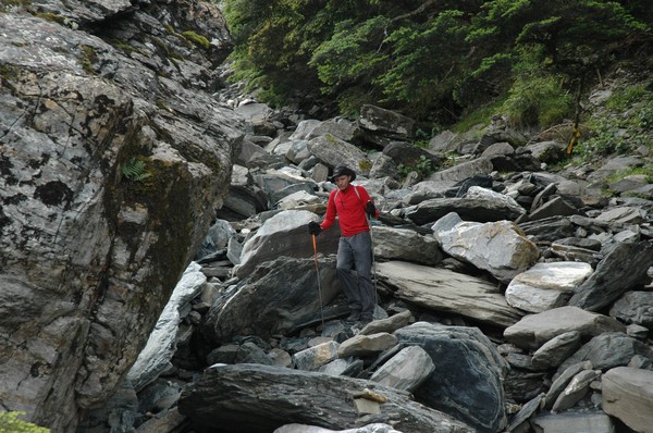
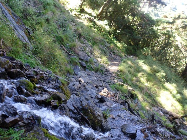
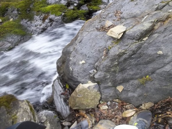
alot of river tracing is in this trail...and sharp rocks...very remote...
not many people go here....i never seen any person here, so far...except me and cory

after another 1-2 hours river walk we saw a sign at the first cabin...but we dont have time to stay here...just a quick snack

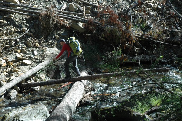
crossing nanhu river

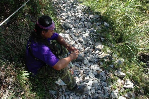
many landslides are here...so the trail often change

omg...cory had the raw eggs at the bottom of the backpack...luckily only 2 were broken...
omg...one of the confusing signs about distance...
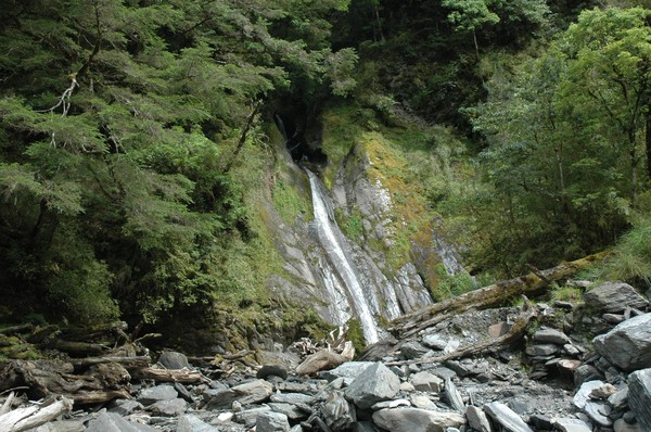
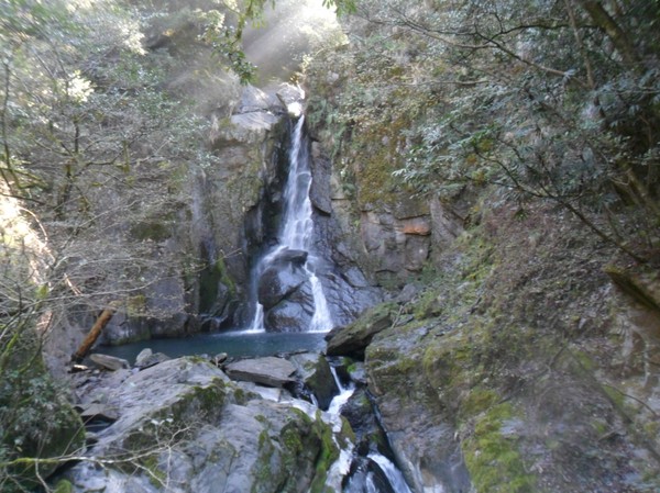
and some remove waterfall, which not is listed on http://taiwanswaterfalls.com
it was many leafs here, like in a swedish autumn
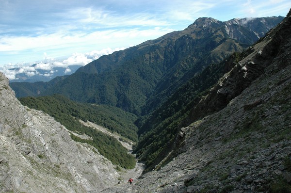
after some 1 hour uphill again it was down hill...we have to cross 2 mountains before we reach the zhongyangjianshan river...which will take us to the base of the mountain
some rest at the steep downhill path
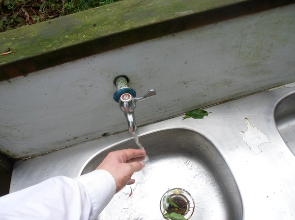
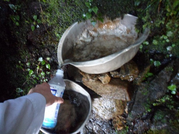
after some time we reached a creek, time for refill the water bottles...this area has many creeks...
And then another sign. to the second and last cabin of this trail
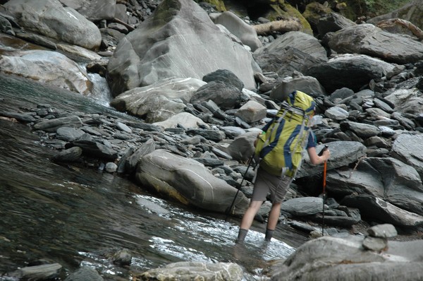
and now the river tracing becomes more intense
Cory was using river tracing shoes
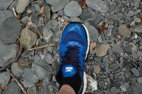
I had normal running shoes
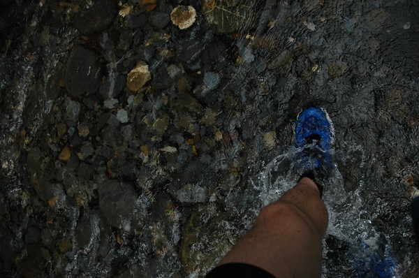
but it was nice to walk in cold water...after some hours with heavy backpack
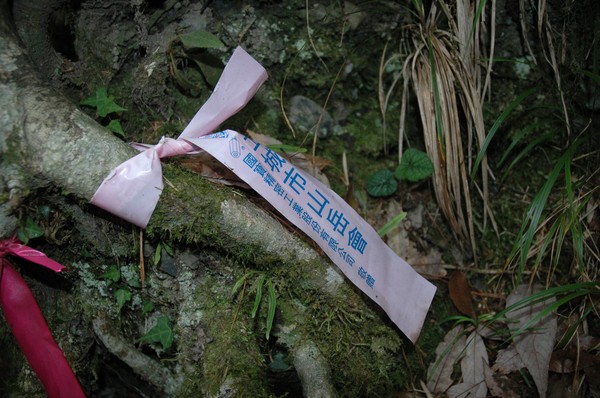
the trail had these stripes, from some random hiking club....it helped...as well as the support of some cairns...since the river wasnt that easy to walk along
up up up
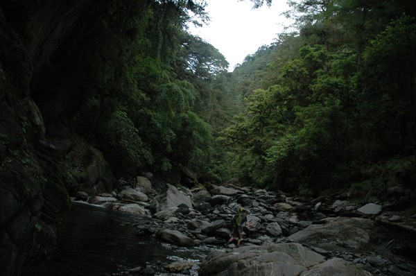
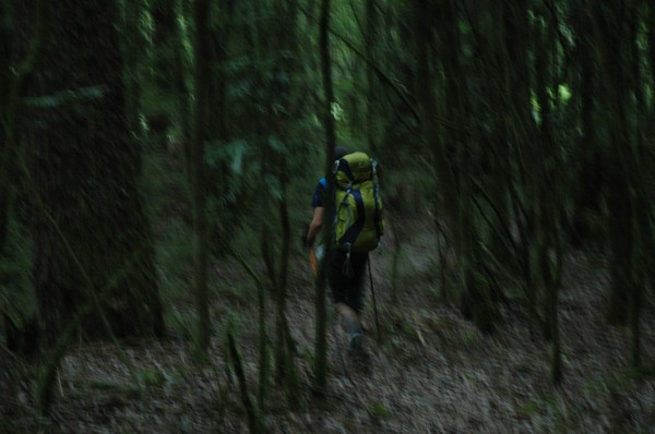
It was deep forrest up here
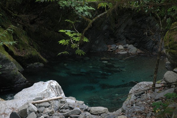
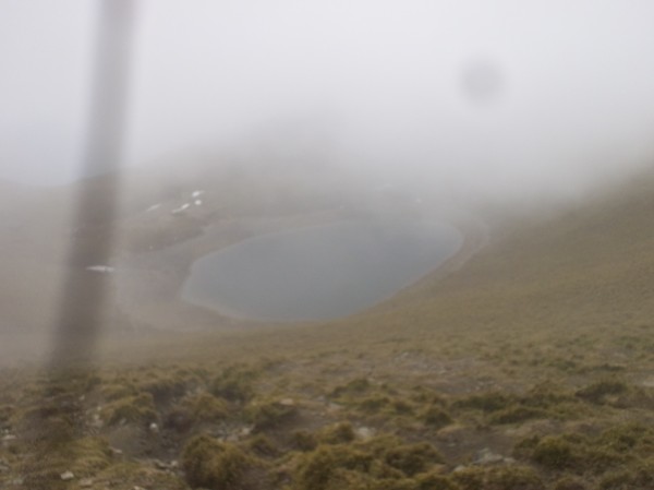
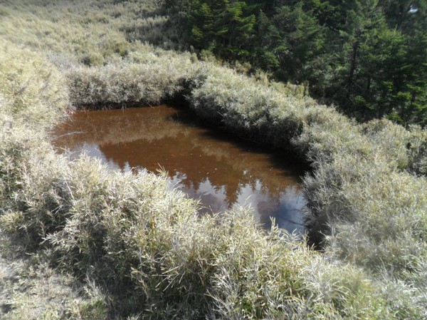
and once in a while there was a pond...with very clear water...
luckily no land slides today...even if the canyon was pretty big and steep

More cairns...
and some small water fall...
Cory showing the way
Cairns

and jumping on stones
after a while we reached the second cabin on this trail
Many people slept in tents...we met 6 people at this cabin...and suddenly one of taiwans most remote places didnt feel that remote anymore

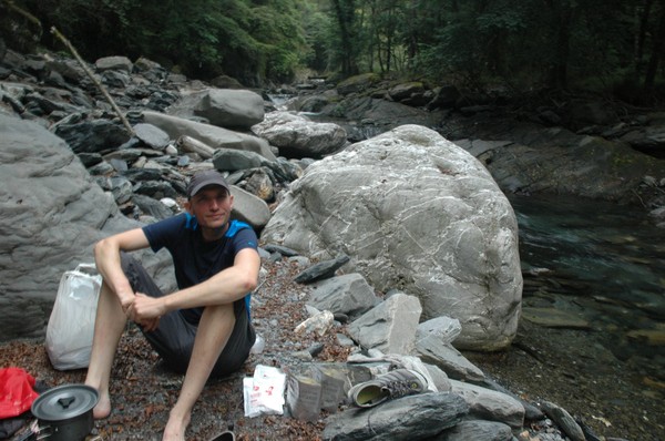
We made some soup
...or cory made it...i assisted

and later on the night darkness arrived...like at 19...
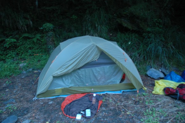
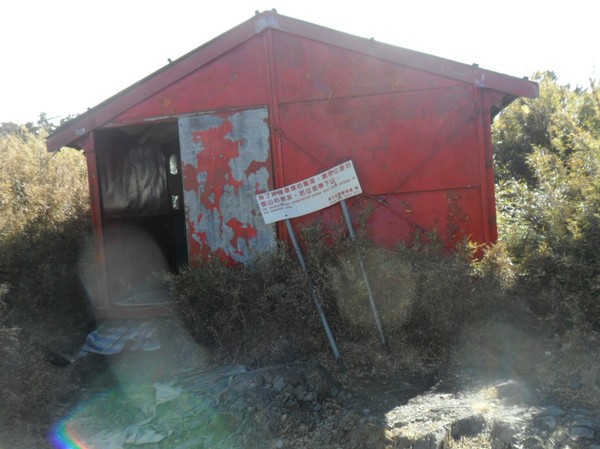
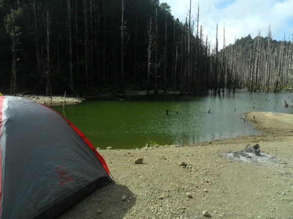
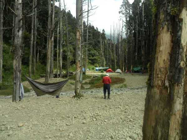
the place we stayed at these 2 days
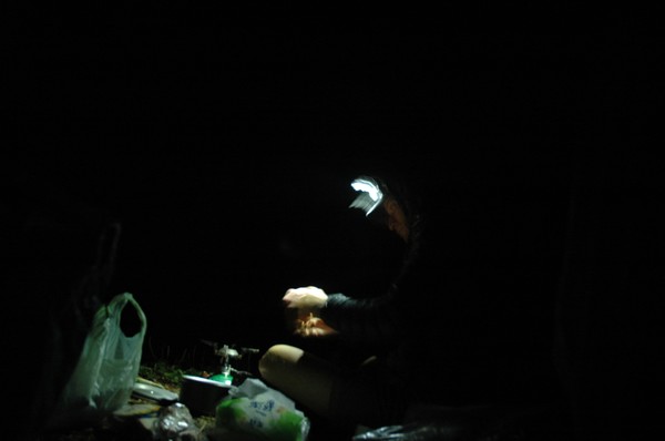
Cory working in the dark

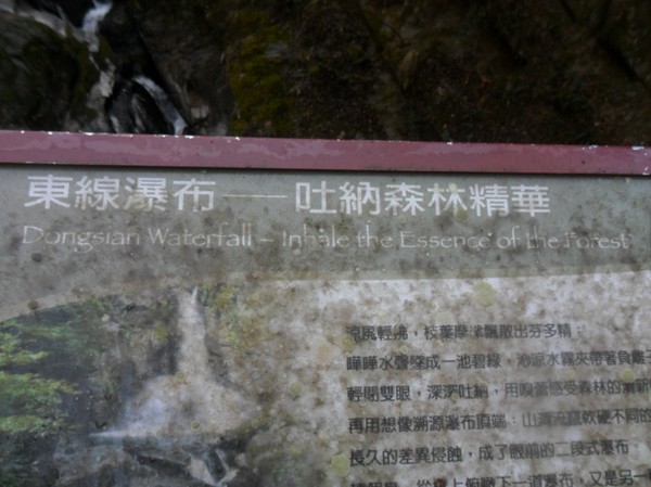
Zhongyangjian waterfall....
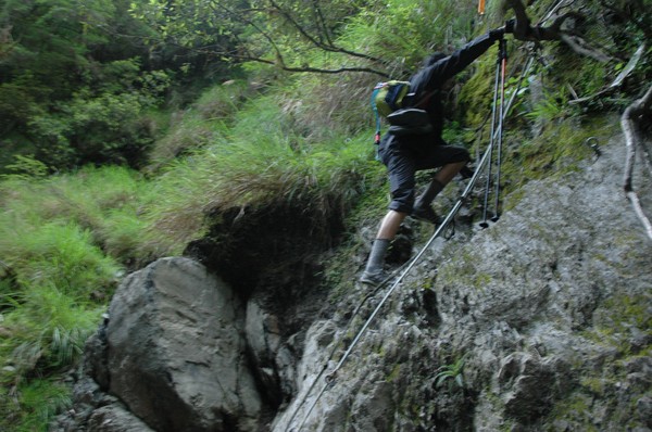
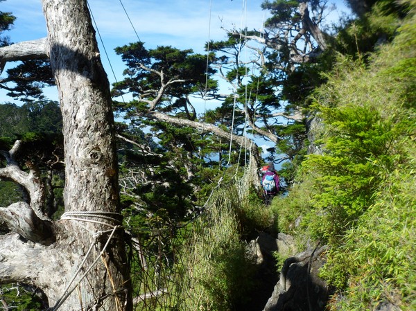
And some steep climbing...luckily there were ropes on this wall...
And more river tracing...
A break in the deep forrest
a rest along the river
another waterfall..at the end of the river...
now the steep climing up the peak starts
An endless road of stones...
up there somewhere...the stone road ends...
Cory had two sticks...it helped...
Nanhu mountain
Cory is small in this valley
Nanhu mountain is higher than zhongyangjianshan but not pyramid shaped...

After another 30-60 minutes...we reaches a fork...between the main peak and the east peak
Cory is taking the last steps up to the fork
And from there, we went on some bushy landscape
this is some 3600 meters above sea level
And many mountains in the horizon
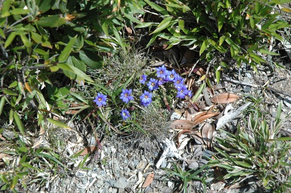
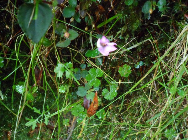
And some random flowers
Cory on a small peak
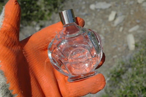
Omg...i found a perfume bottle...reminded me of my visit to yushan, where i brought perfume to the top
Cory on another small peak
The path continued up
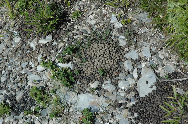
and some goat shit...I saw 2 dead mountian goats on this trail...and heard alot of barking dears...
We now walked on some ridge...
And in some more bushes
And finally we reached the peak...
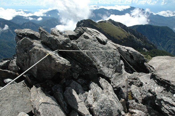
After using some ropes...its alot of snow here in the winter...so people need (or might need) crampons...and these wires/ropes...
some old peak stone...

There is xueshan...i think...from there, this peak looks like a pyramid...

cory was approaching the top as well
Perfume on the peak sign

Blue steel pose...
After some lunch we headed to the east peak

We also met some hongkong and taiwanese hikers...

And we saw some rain clouds coming closer
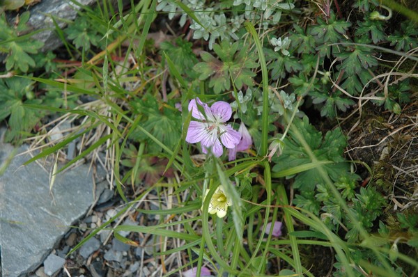
Flower pic 1
Flower pic 2
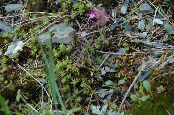
Flower pic 3
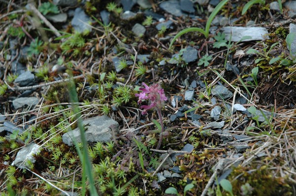
Flower pic 4
And the long way down begun
Endless stone road

and downhill river tracing
Cory took a break with his cowboy hat
And then ready to go
Another water fall
And more water
Later it was jungle

And some grass forrest reminding me ot home (this is corys favorite area of this whole trail, it was rather peaceful here)...
And some dinner break

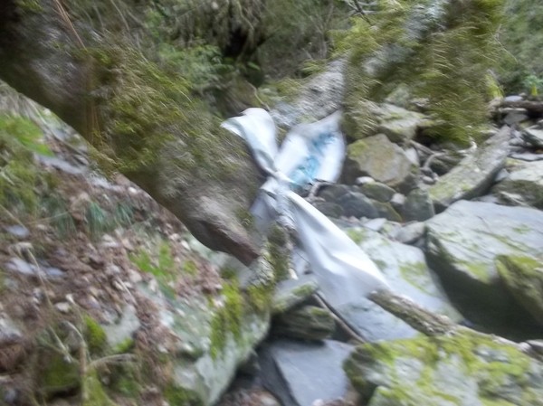
Omg garbage

Only 8.3km left...but pretty steep hills to climb
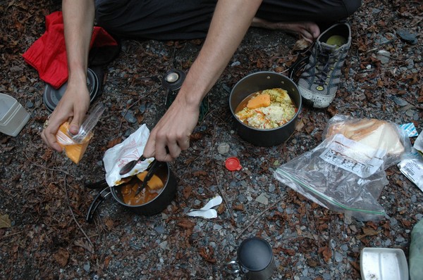
Cheese curry for dinner

Met some taiwanese people on the way...
In early morning we took off...the sunlight decides if we walk and not...
Omg...Dabajianshan...epic
Some river crossing

And steep river tracing...

And lunch break...
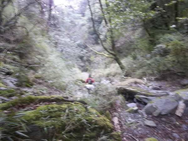
I found trash that I didnt see on the way up..some people who doesnt care about the environment...I collected the trash I found...the deed of the day...

After a while we were back on the Nanhu trail (mentally it felt like i was already at the end of the trail here), since this trail is a walk in the park...

Still steep hills

And some short rest
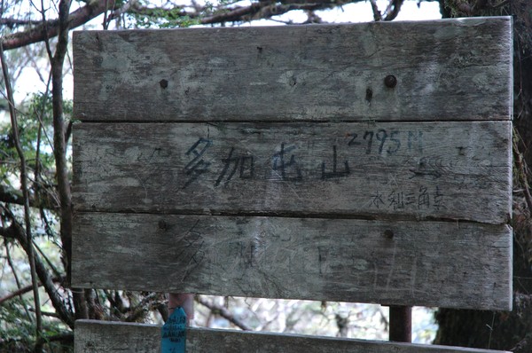
And some 2795m high peak...
After a while we reach the trail entrance...

But still had some 5km to walk...i think...we met some locals on the way...
Then fast walk...
And almost at road 7...
And in the car to hsinchu

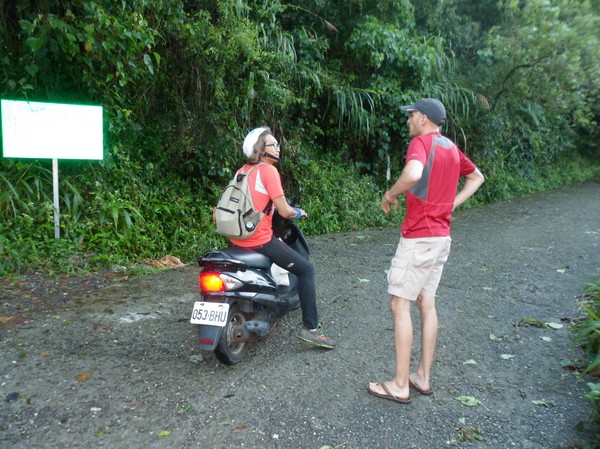
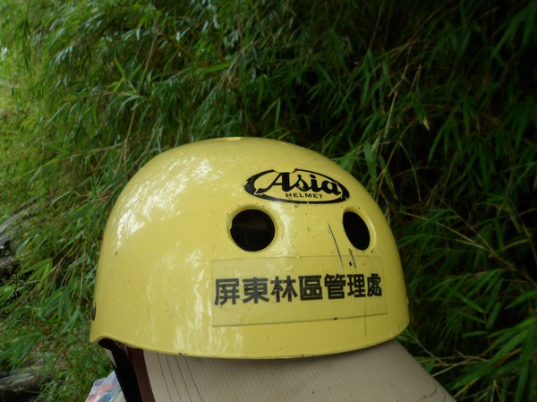
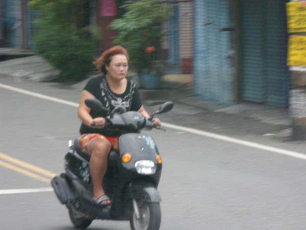
We were not at the north west coast...people were not wearing helmet here...
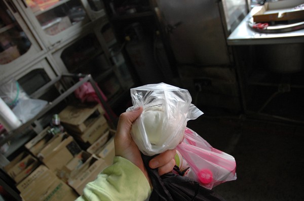
I had a baozi at a local store

We later on took road 7 towards Taoyuan due to some 3 people in the car policy at yilan (else we might have taked a faster road back), this road is called the "snake road"...
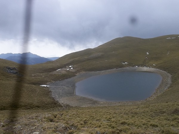
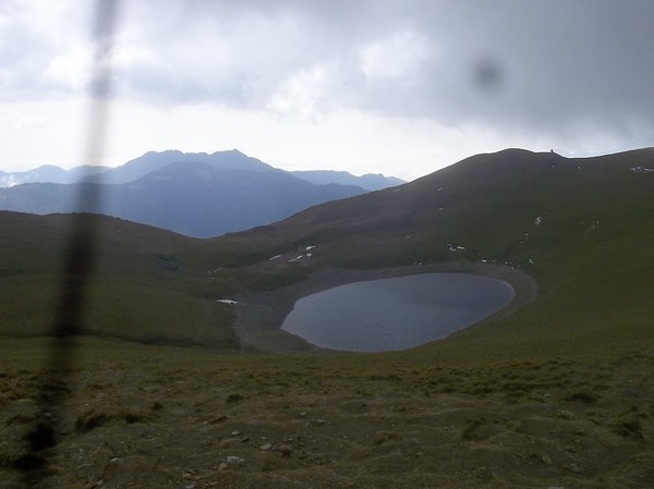
We also passed by a small lake...

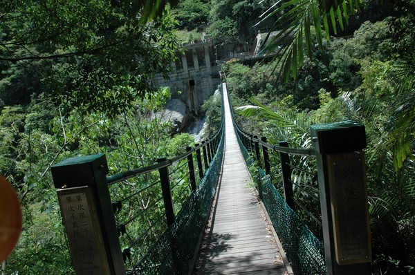
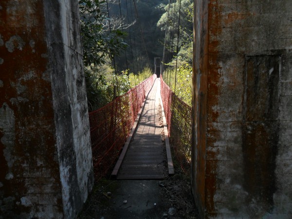
And a bungy jump bridge
Nervous people
Rain was on its way...
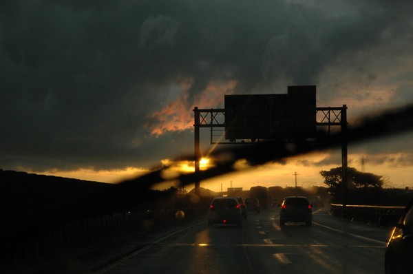
But in hsinchu it was a cloudy sunset later on

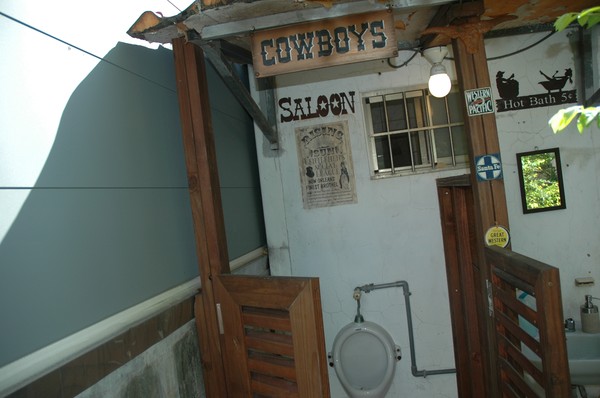
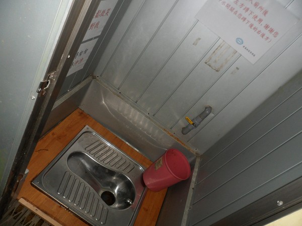
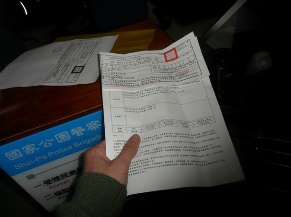
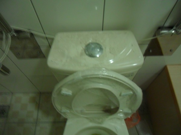
I ended the hsinchu visit by inspecting a Handicapped children (boys) only toilet...that few people are allowed to use...(no female, no non-kids, no non-handicapped)...
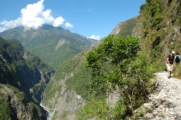
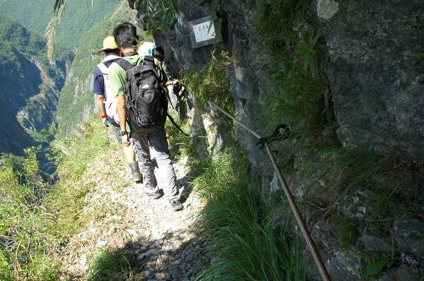
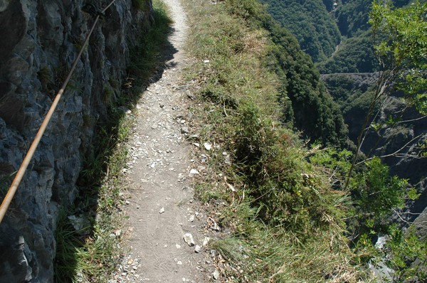
Hiking Old Jhuilu Road
I went on the Old Jhuilu Road which was made by the japanese some houndred of years ago...

But the trip started with a Starbucks visist...
...and me tryting to get rid of 16 free cinema tickets to the movie "the rover"...
Jason, my old friend form NCTU Europe took some...we had a nice cycling session along taipei river side...

Omg...3am on saturday morning, i got the honour to meet a Taroko aboroginal in a 7-11...
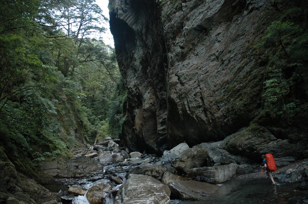
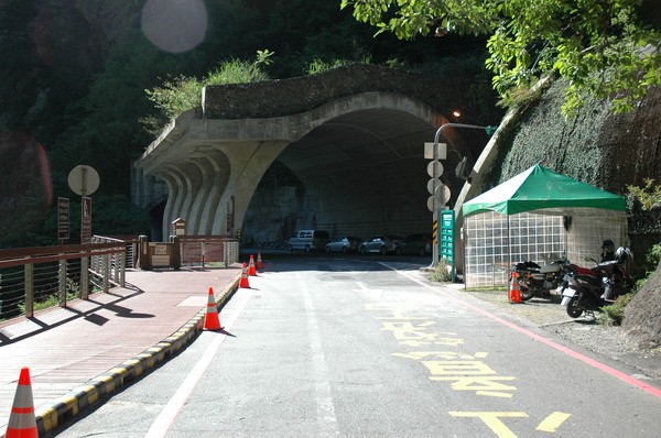
before arriving to the trail entrance of the old trail that one needs a permit to walk...in taroko gorge...
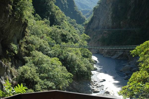
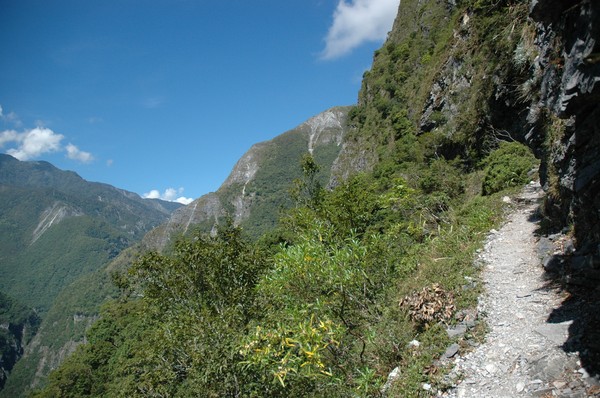
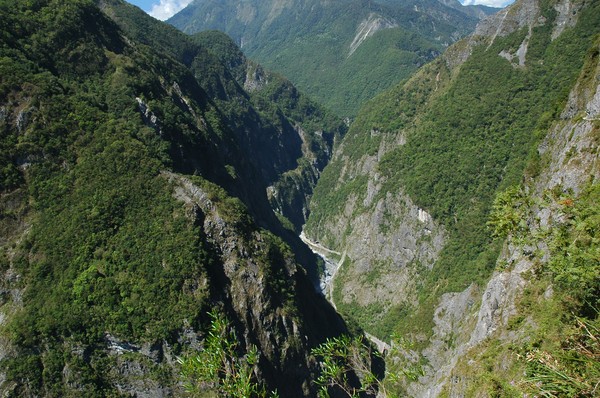
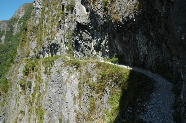
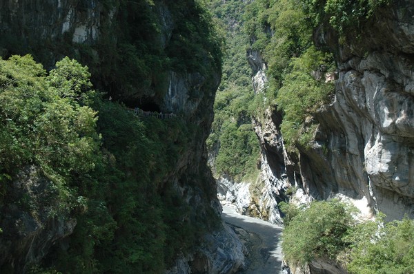
High mountains...this is probbly one of the more famous troutist sites in taiwan...

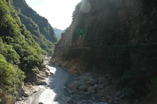
Pretty steep down to the river...

I heard that the military built this road...and many people died when doing it...
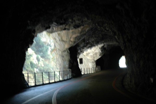
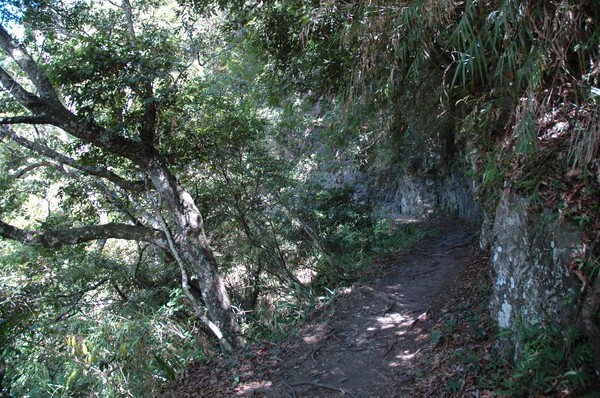
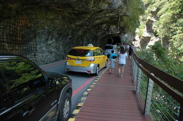
its mainly made by semi tunnels on the mountain edge...
...and still heavily trafficed...
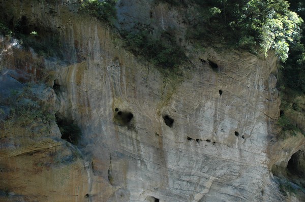
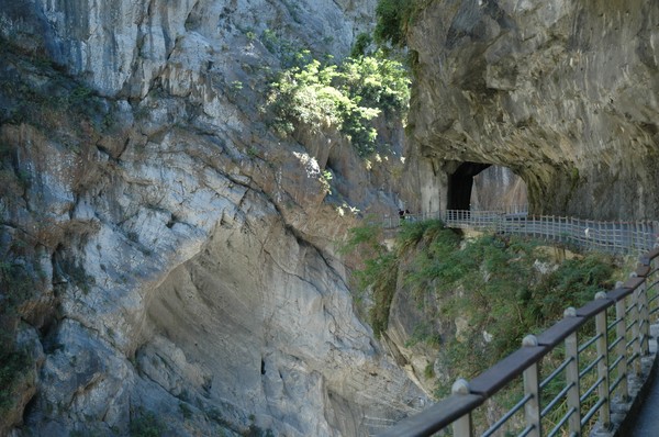
Some cool holes in the wall created by water some million years ago..or thousand years ago...
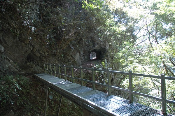
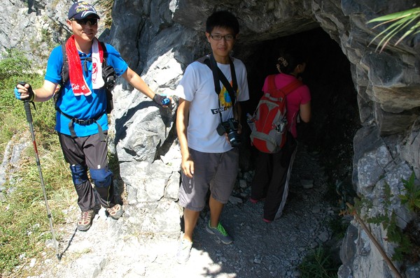
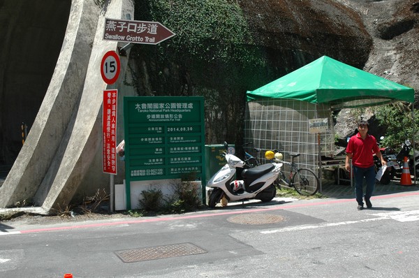
This is the trail entrance...a bridge...
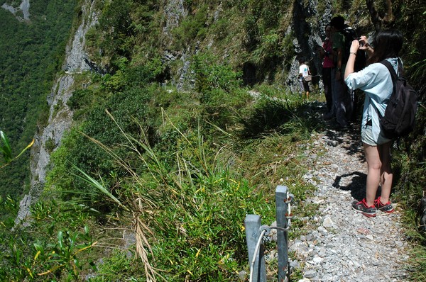
And a ranger guarding the trail...since no too many people can walk on this fragile path each day...
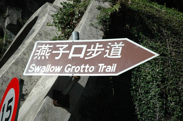
"Swallow Grotto Trail" might be another trail, but it was here that one can find tha entrance...
The ranger checking the permit...(also taroko aboriginal)...
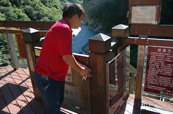
After checking he opened the locked door...
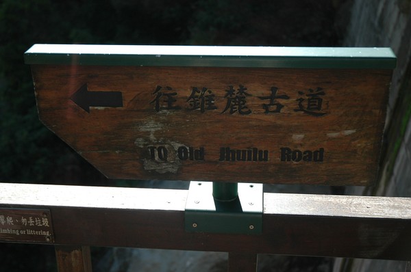
"old Jhuilu road" is the name..
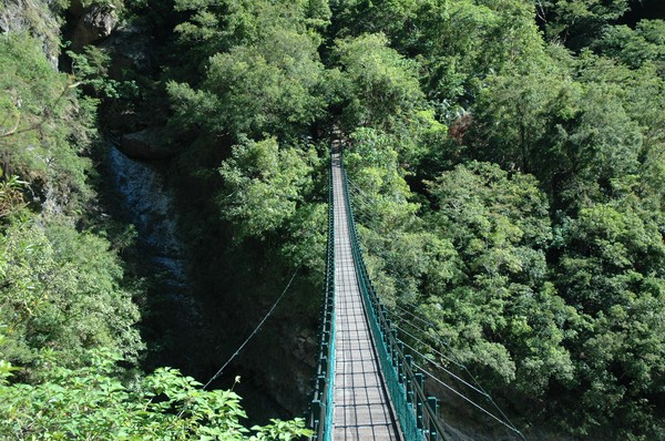
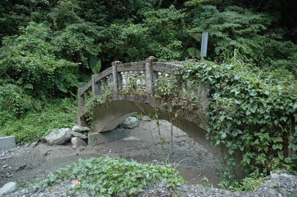
This is a common bridge in taiwan for trails at the east coast...
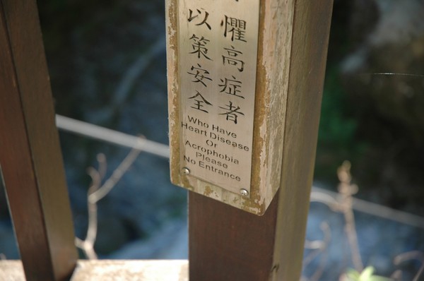
...but its not made for "whoever" to walk...
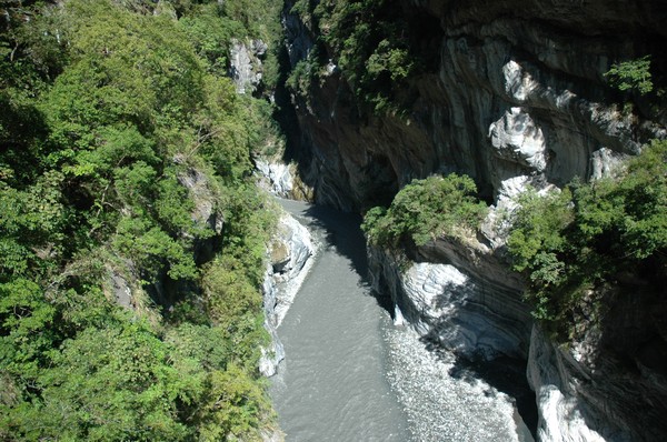
The water some 50-100 meters down looks pretty gray...
And some 20km down hills the ocean starts...
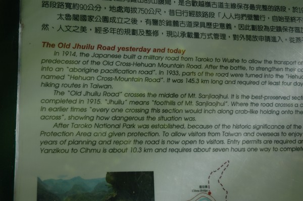
The trail was built some 100 years ago...
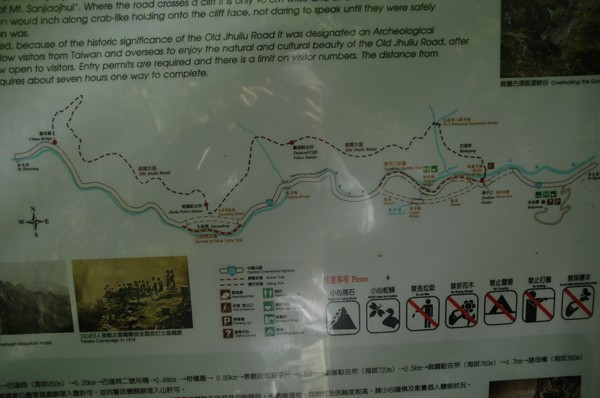
And went pretty far...to bad that its broken, so after 3 km its closed...

They say "at least four days" to walk...interesting...

"90 cm wide"...we will see about that...

Its cool that it crossed the island...
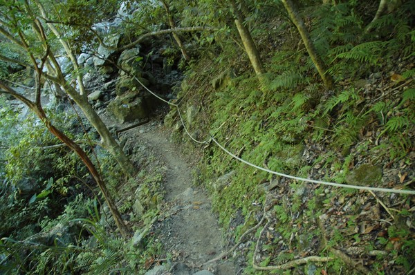
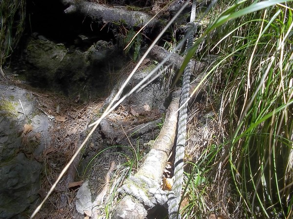
They had ropes on some paerts for the walkers to hang on to...
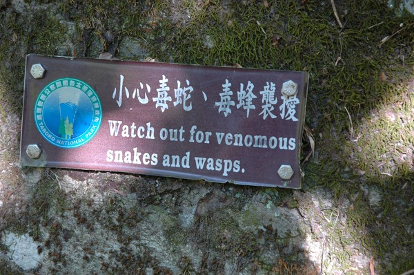
And snakes...I heard stores about the snakes in taroko gorge...
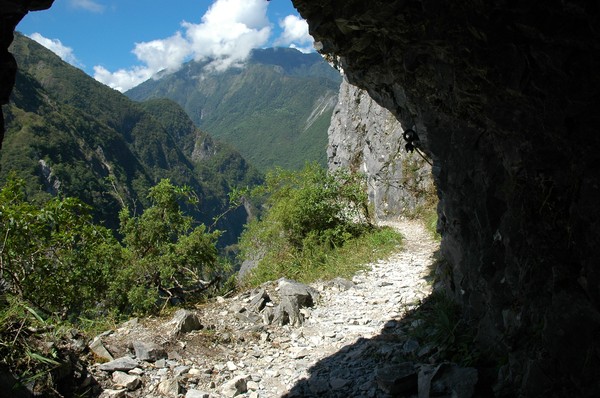
Else prtty much of the trail was in shadow...
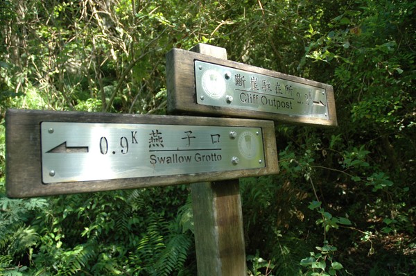
"cliff outpost" was the place everyone was heading for...
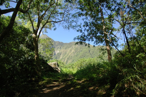
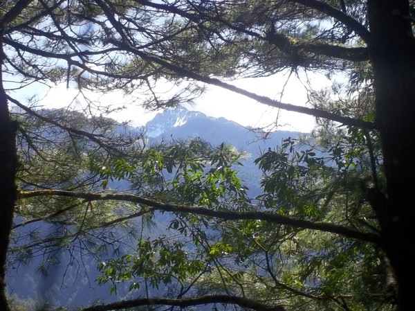
In the horizon one could se high mountains...
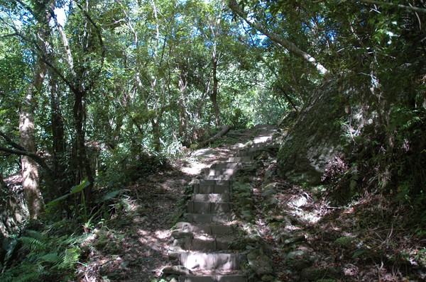
Once in a while they had a terrace...it use to be a ploisce station during the japanese occupation...
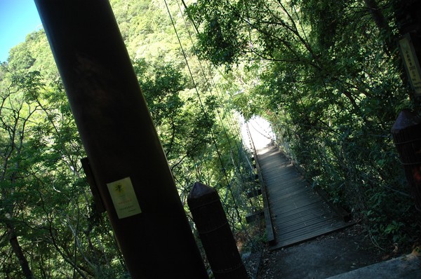
Another bridge...
And many elder walked this trail...

It was pretty sweaty...since it was pretty low altitude...
As usual the locals walked with full "mountain climbing equipment"...
We were still walking on the edge...but not that steep down yet...
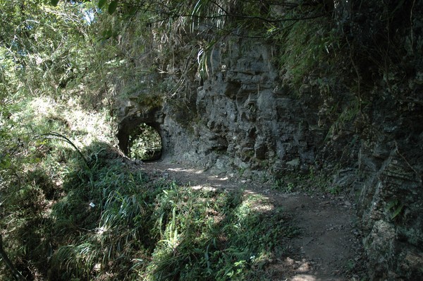
But once in a while they had a tunnel...

And most often they repaired the broken path with a bridge...
It is pretty nice to walk on trails like this...feels like one is in some "lord of the ring movie...(except that the bridge is made on steal)...
After some 2km the one could see the gorge pretty well
Some locals who take a rest...
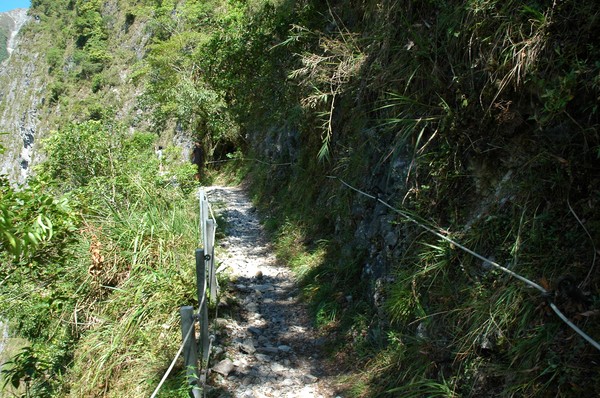
Once in a while they also had a fence...
But at the steepest parts they didnt... i remember i reaceted to this the first time i came to this area 2008...
The road was down there...far away...
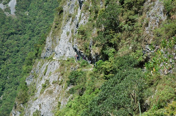
And the path was on the edge...I wonder how the build this 100 years ago...
It was hard to pass by anyone up here...
Some locals carrying a drone...
Omg...better hold on tight...
Some times they also had a tunnel up here...
But most of the time it was just thie 1 meter wide trail and steep down...
I was recommended this trail by a swedish friend who lives in Kaohsiung...
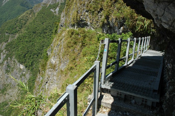
Here the trail was broken long tima ago...so they added a bridge...
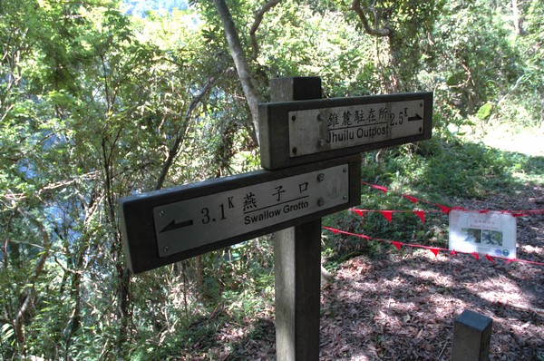
After 3km one couldnt walk further...
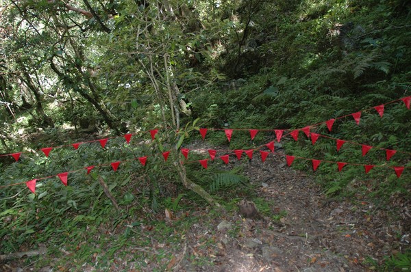
Just some lines blocking the way...
And many people taking a rest...
Ok...time to walk back...

Same path...same similar pics...
I also met a new Taroko friend who taught me to say "hi" in their language "Madusu"...
After 3km downhill I reached the car road again...
Many people were walking on the big road. also enjoying the gorge...
And the ranger had to open the gate...(its not possible to enter this trail after 11 in the morning, by some reason)...
Many cars were parked here now...
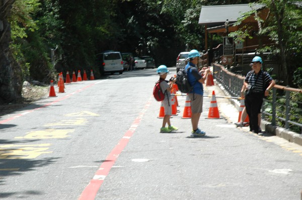
And the visitors could borrow helmets if they wanted to...
Omg...an aboriginal patterned house...
And some totem pole...
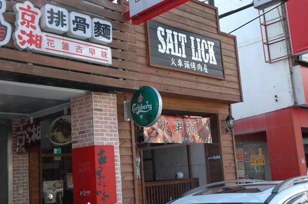
Next stop was a "burger bar"...called Salt Lick, in Hualien city...
It was more like a sandiwch and steak house...

...inspired by american wild west...
With nice decoreations...
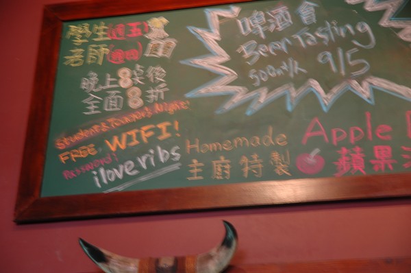
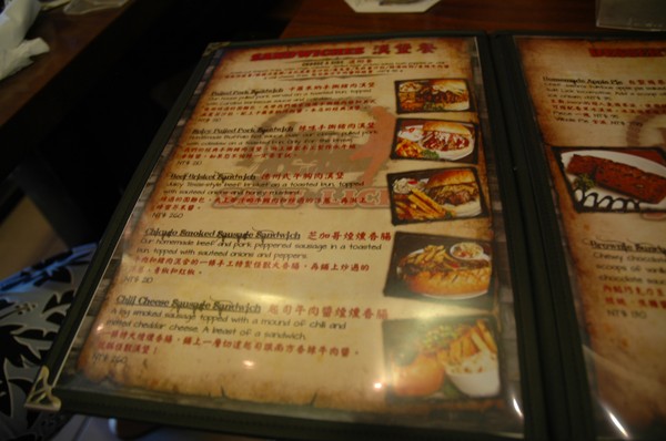
and free wifi..., however I wonder how they transport their "homemade" apple pie from their home...or maybe they live in the restaurant..
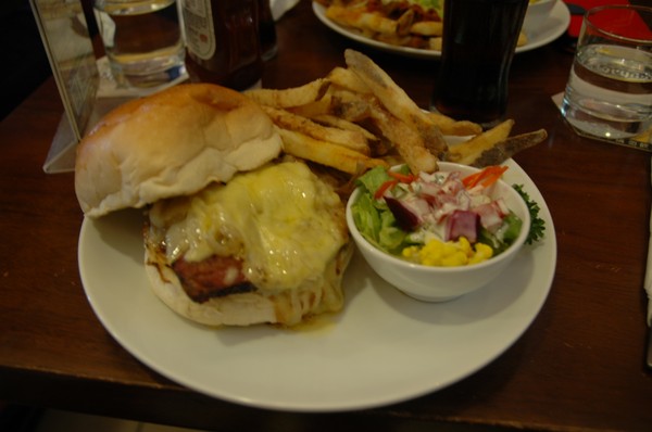
The burger was pretty cheese...it was nice..
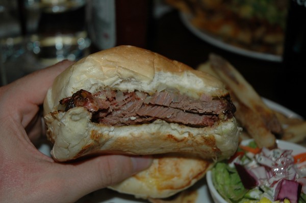
But it was nor a real burger patty..more like 2 slices of meat...
And the french fries felt strange...like if they were fried from deep frozed raw potatoes.. that got dry...
The toilet was cool...
Next stop was this water falll...
But it was hard to reach it...even if it was announced from the road, that it was a scenic area...
This is the best shot I got of it...near Ruishui on road 9...
Or this...
Later on, in Ruishui, they had boriginal ceremony...
Many Amis dancing...
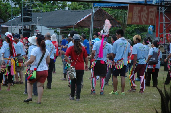
And different tribes were wearing different clothes...

I wanted to hear my second favorite Amis song...but they never played it (or i came to late to hear it)...
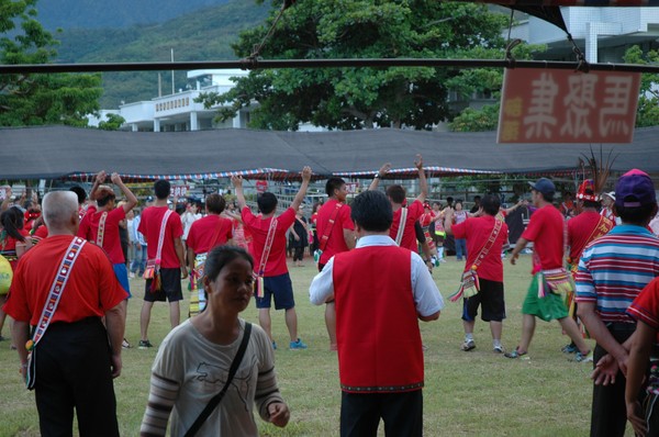
I think they also had some competition...and they announces which tribe won...
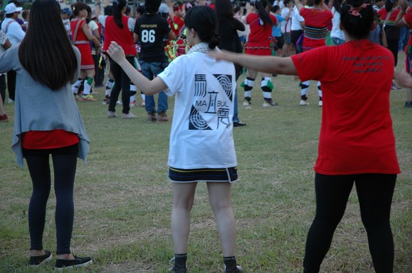
More dancing...
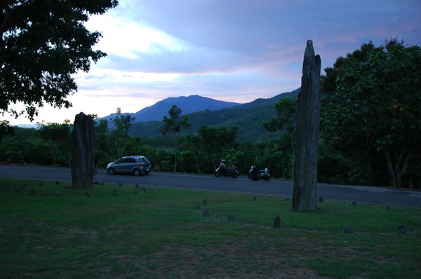
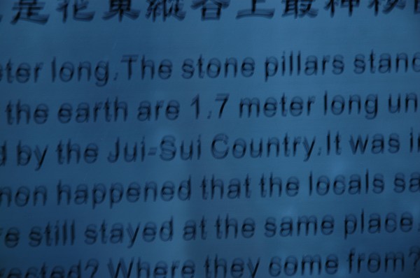
Next stop was these 2 stones (Saoba stone pillars)...which reminded me of a small part of Stone hendge in UK...
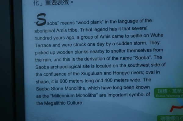
It seemed to be a part of some bigger archaeological site...
They dont knwo from where the stones are taken...but think they are about 3000 years old...which puts them on the so far oldest thing one can see, made by man in taiwan...

The highest one was over 6 meters high...amaxing how many earthquakes it standed in this time..and typhoons...

Its always confusing how they spell their characters in pinyin in taiwan...
..."jui sui" or "rui shui"...etc...I try to keep my facts right...
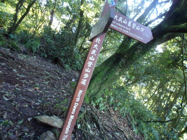
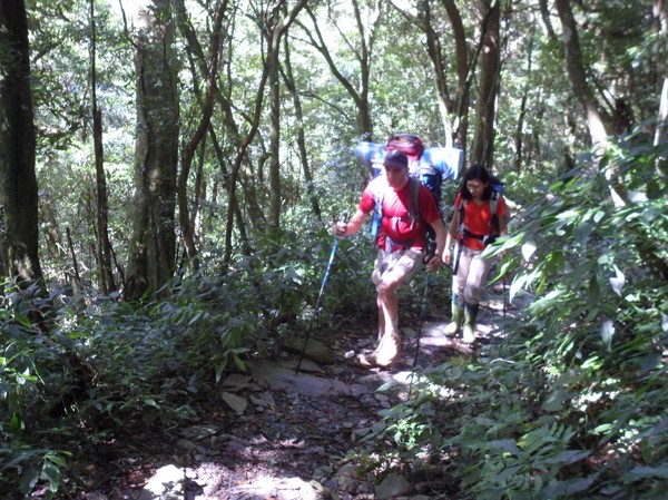
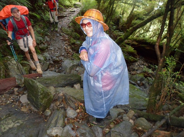
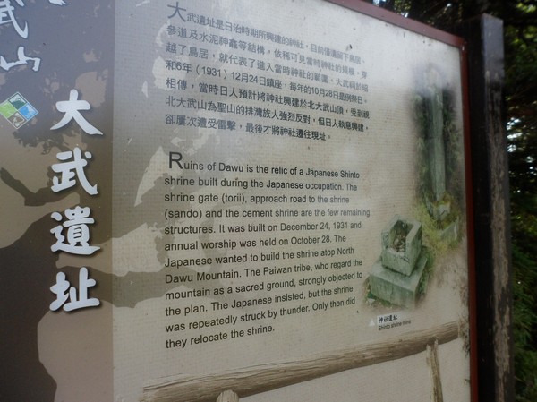
A hike at Beidawu mountain
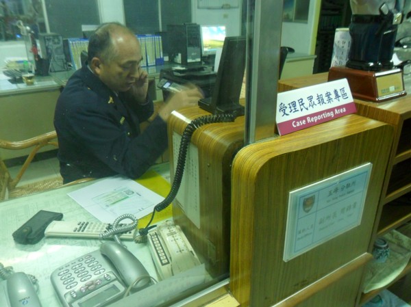
I went to hsinchu some days ago to get to the south of taiwan...
Its the 3rd time this week i go there....for the purpose of fixing a car...
I waited at Hsinchu train station...
And there Cory met me up...
Not sure why but cory always loves to drive in the night...to some moutain and, without sleep carry heavy luggage...in order to reach the peak the following morning...more or less exactly the opposite to what I use to do when I hike alone...
This is the car we rented...
Cory had some stickers on his walll-
From different parts of the workd...
Not sure why...
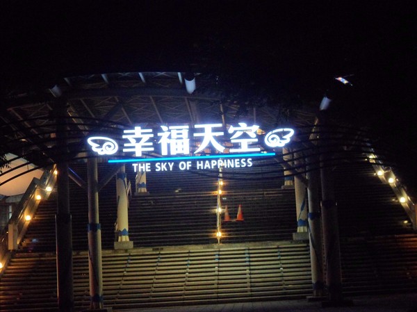
Omg...some "sky of happiness"...funny words in taiwan...
We didnt have any GPS...so it was a littel confusing...
But cory had some map...to show us...
The volume control in teh car was also broken....
This was the map...on his cellphone...freeway 3 to pingdong, then raod 186 or 185...
Some local aboriginals (Paiwan) in pingdong...they are so
The road uphill was pretty bad...
We could see Beidawu nearby...
Hmm...typical taiwanese mountain road...
With nice view...
And some coffee farm...
Cory was checking the road...
Finally it said that we couldnt drive further...
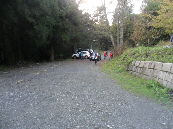
So we parked near another car...high up in the mountians...
Some waterfalls...far away...
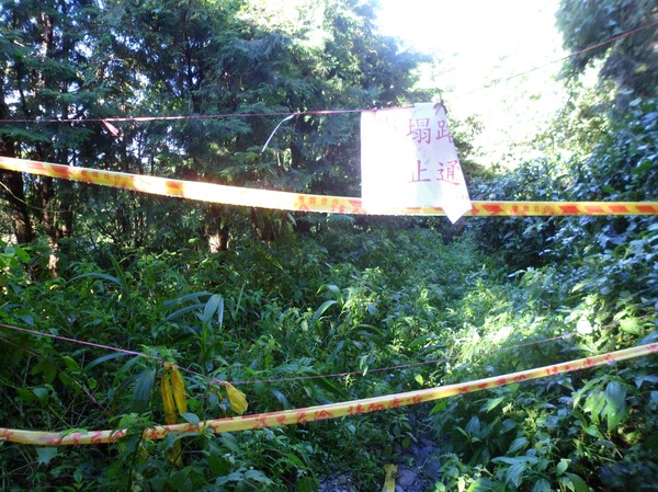
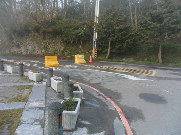
And the road was blocked...
Due to some land slide...
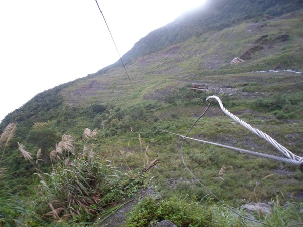
Not sure what this wire was for..
Many loclas did this hike in 1 day...I got stressed since I also prefer doing it in 1 day...expecially I prefer to sleep before I start walking...(since me and cory drove during the night)...
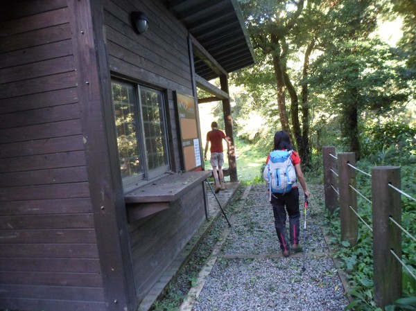
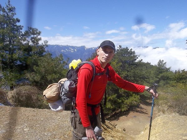
Backpack on...
And on we go...
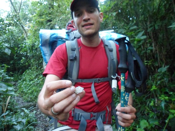
Coty found some crystals...
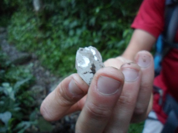
Pretty nice...
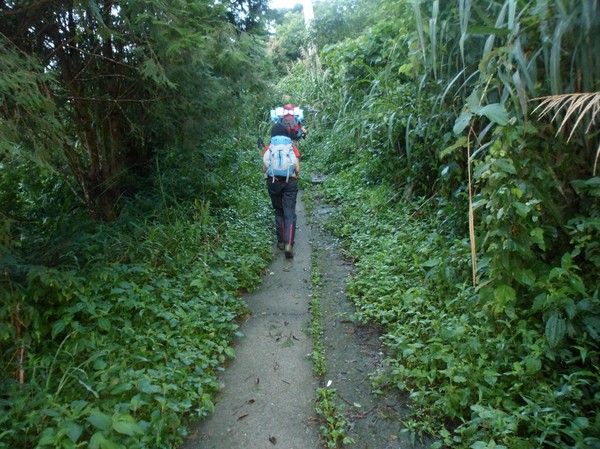
The path was like an old ranger road initially...
Following some grid...
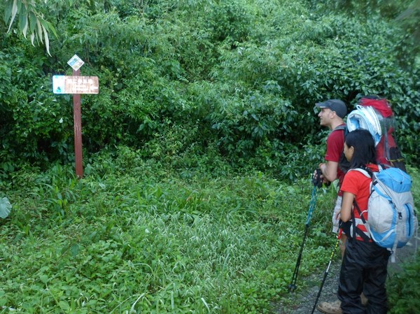
We had signt to come to the trail entrance...
Every now and then, we got this signs...
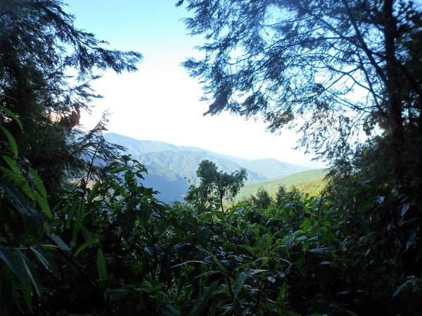
Ths view was partly nice...
Some old parking lot...
And some final path to the trail entrance...
Down there is Pingdong...
Cory resting...
Finally at the trail entrance...
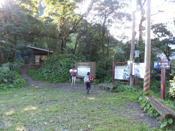
It use to be scooters andmabye cars up here...
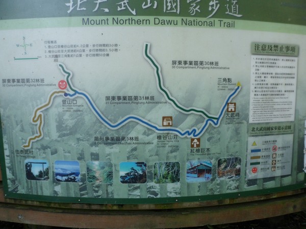
Many trails...one leadadin to some ancient aboriginal road...and another to the Beidawu mountain...
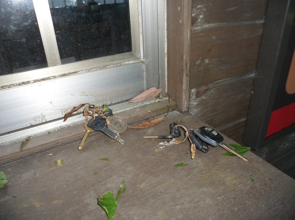
Some one dropped their car keys here...
No ranger insight...usually you are suppose to sign a paper...
I wanna go to thos paiwan house one day...
Some forrest toilet...
And some city sandwish...
This is the poace in taiwan where we were...
On Pingdong county...
With many animals nearby...
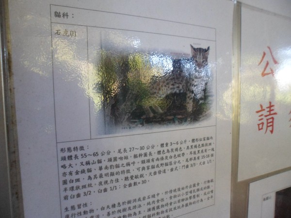
Even this wild cat...I hope to see one of these...
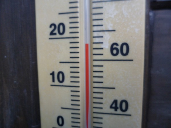
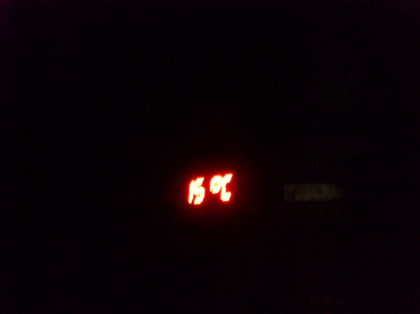
18-19 degrees...
Wops...watch your step...
Every now and then..they had a pole in the ground with GPS marks....
The road was steep...not that much focus on safety...
But still a nice trail...
So far like 1500 meters above sea level...it was walking in the djungle since southern taiwan has tropical climate...
And it was not that much up hill yet...
But some rivers to cross...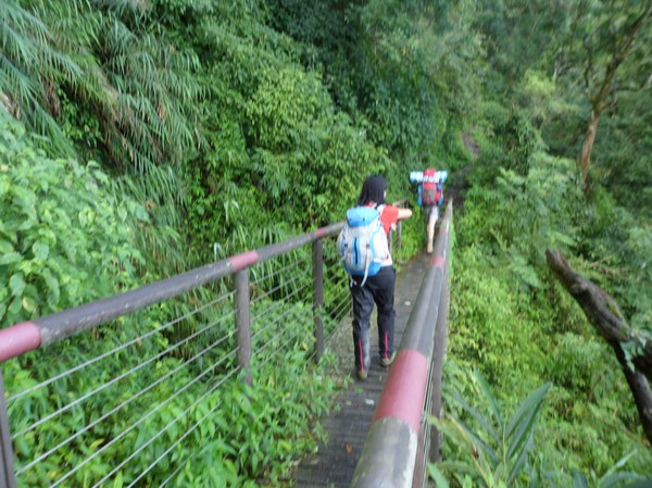
Luckily they prepared some bridges...
And many waterfalls in sight down in the valley...
Omg...stairs...it reminded me of yushan...
Maybe out there they have some bears and wild cats...
Omg...strange sign...
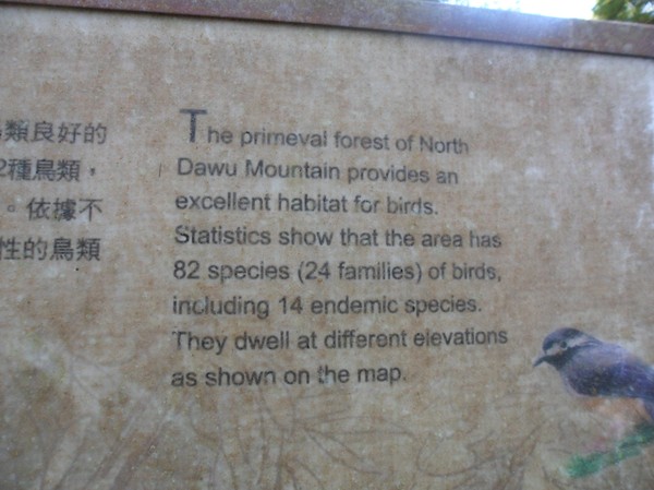
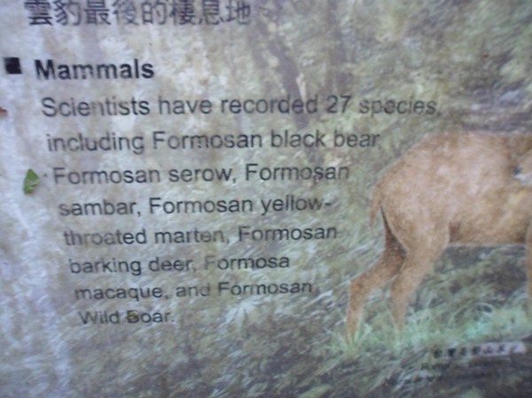
"14 endemic species" in this area...
We started at 5-6 something...I hoped to be at the peak by lunch..but cory wanted to set up the tents first...we were still keeping a good phase...
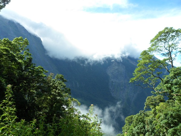
The peak covered in clouds...
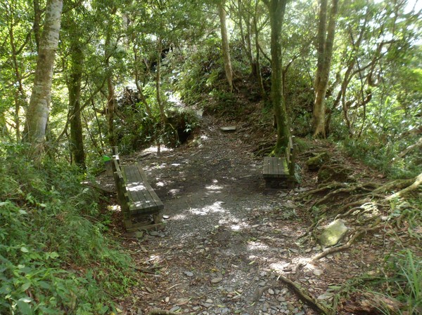
Some rest area at some ridge...
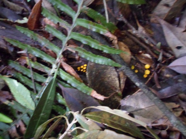
And some yellow spots...
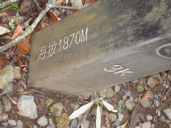
"1870M" above sea level...
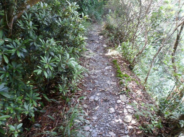
Still a small path...
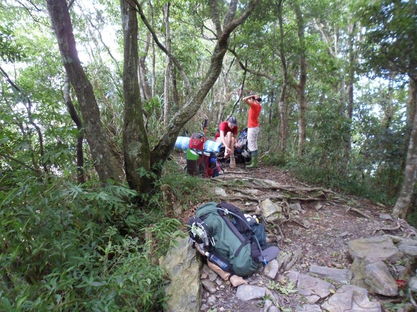
Resting...
The path took many shapes...
And clouds stated to come near...
And it got steep after a while...
But not that good view...
In the winter they have some ocean of clouds to be seen from here...
Some small ridge again...
And many big trees...
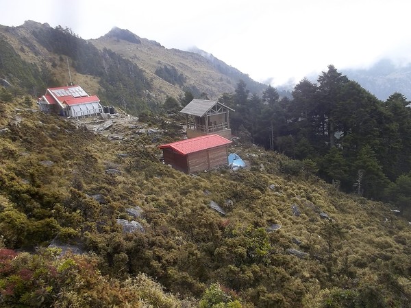
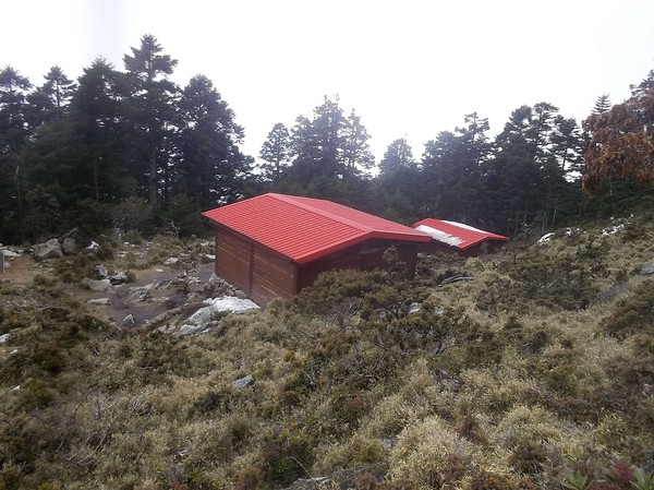
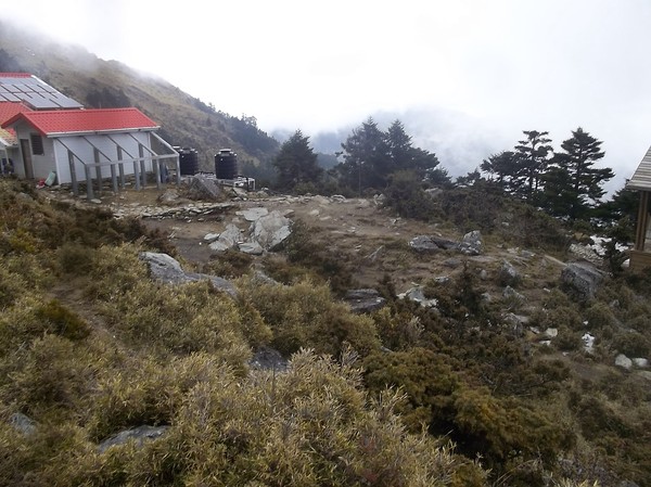
They also had a cabin after some 5km...with tap water...
And places for tents..
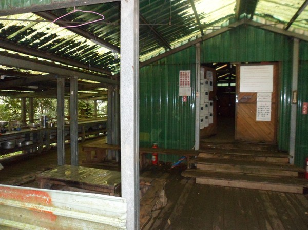
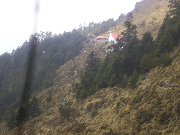
And a house...
This area was buiot 1944...it seems like the japanese people really liked to explore the island...I can recall that also xueshan was explored by the japanese...
Also the aboriginals walked here since many many years ago...
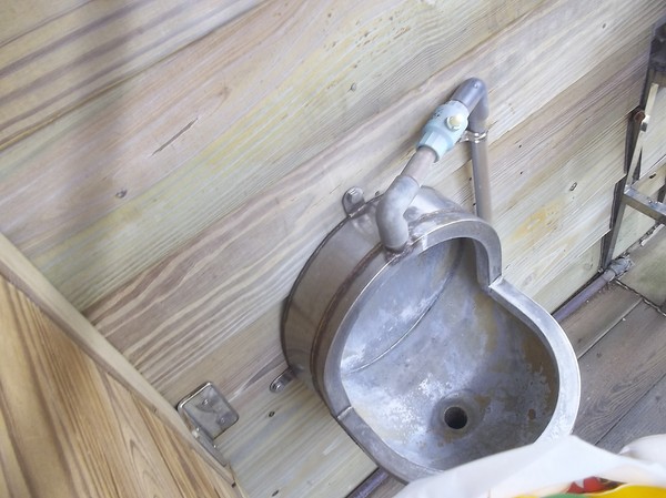
Omg...a high altitude toilet...
And some sofisticated flush system...
It seemed to be fully booked...thus we brought our tents....even if most people we meet aimed for a 1 day hike...
Litter..in the forrest...hmm...
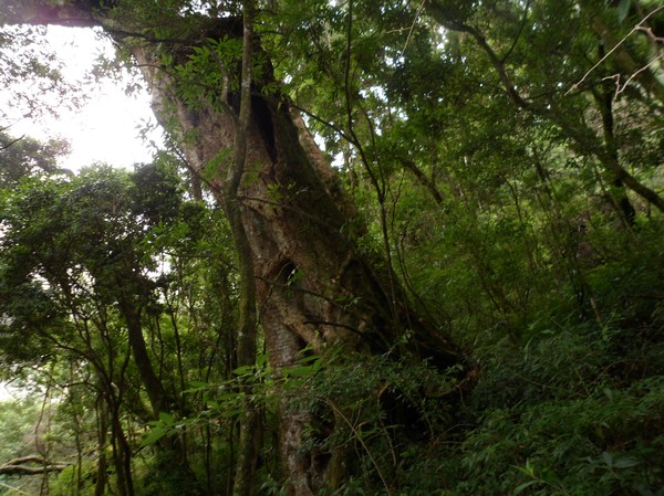
Some big tree again...I heard about some 1000 year old tree here...some where...so i kept my eyes open for it...
Another big tree...
And another...but I was told that the "1000 year old tree" had a fence protecting it...
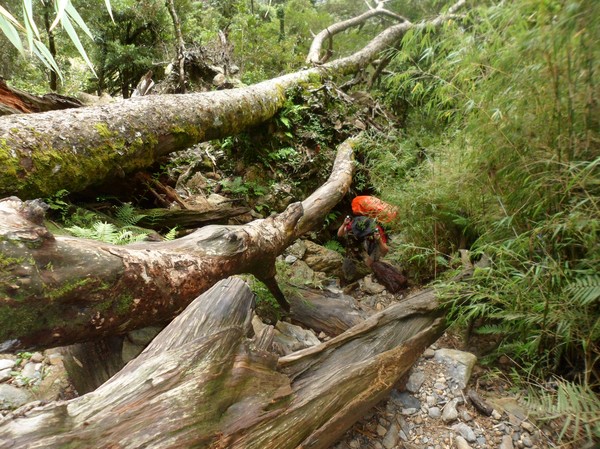
The path had many logs that blocked...
It was confusing for people with backpack...
They also had some web of ropes to hinder people from taking the wrong way...
Even f the peak is just 3089, many people go here...since its the southest 3000+ peak in taiwan...thus the raod conditions were ok, and I never seen this many people before on the trail...
It was slippery sometimes...
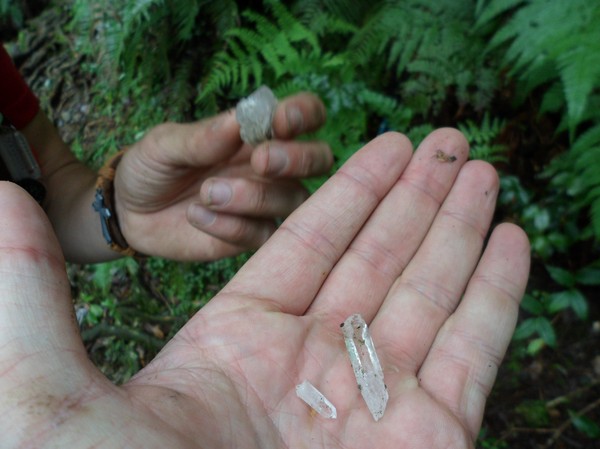
More crystals...
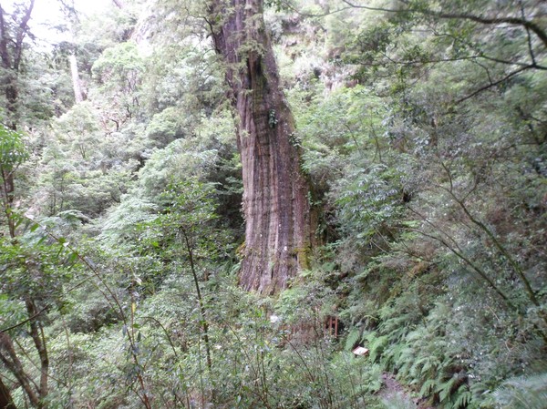
Omg...finally a tree with fence...
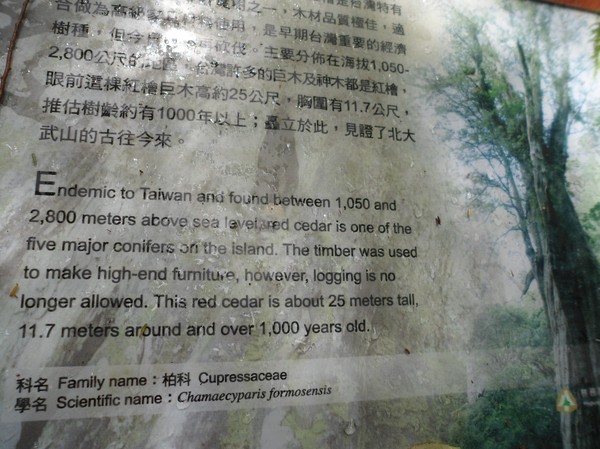
Yep...the "1000 year old tree"...
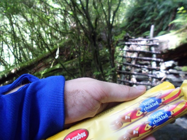
I also brought my chocolate from sweden (ikea bought)...
Some random tai...who came from the cabin...
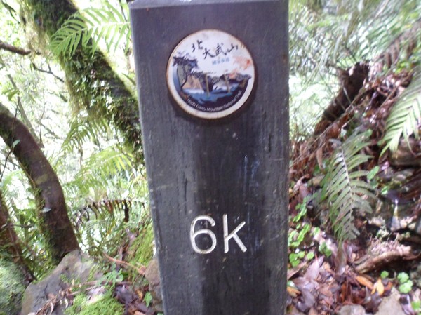
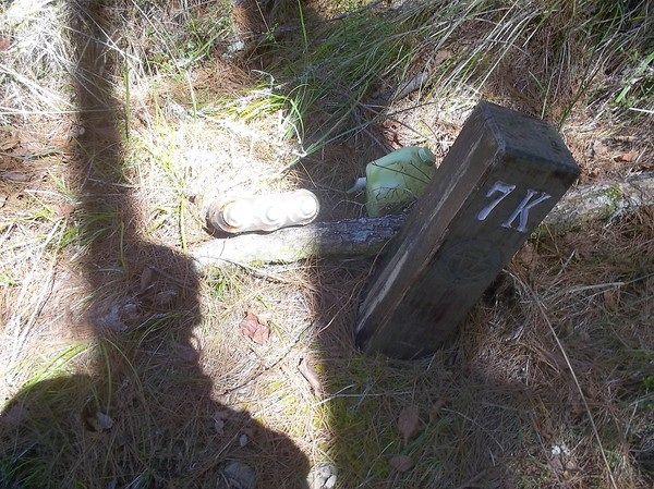
"6K"...more than half...
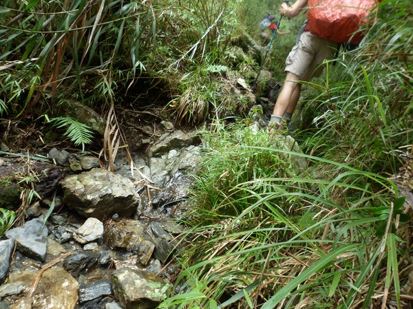
Now we passed some river/creek area...
Very wet and many fallen trees...
But it was ok...
Omg...a small flower...
Another ranger...
He was picking litter on the trail...they have many volunteers in taiwan at the hiking trails...thats good since 25 million people, on a small island can cause a lot of damage...
Not far ow...
Just some steep area again...
On the edge...
Some locals passing by...
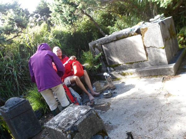
Here...is our tent spot...at some monstery, put here by the japanese to honor some victims in war...however the local aborinials did not like it (een if the monument was to honor them)...
I wanna be a member of this clan...
I wonder how they got the material up here...
Some bird jumping around...maybe some endemic species...
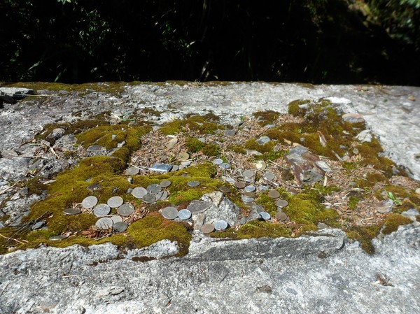
People put coins on the monument...
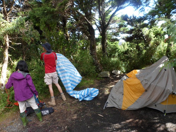
We put up our tents here...
Cory had a waer proof tent...
Futher up hill they also had some temple...
Also made by the japanese...
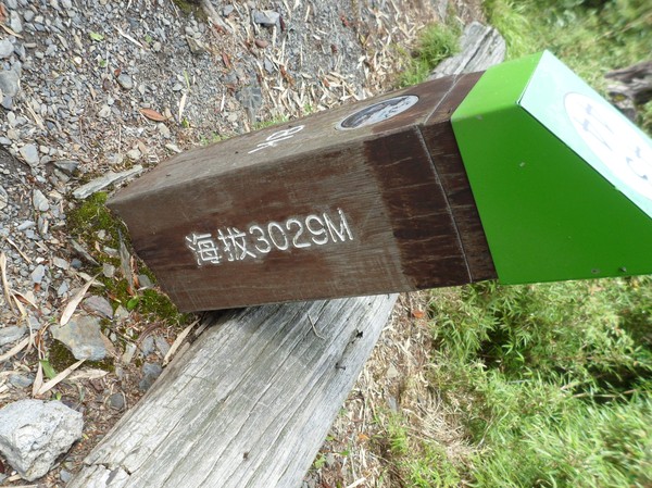
at 3029, we slept at...
Still very warm...
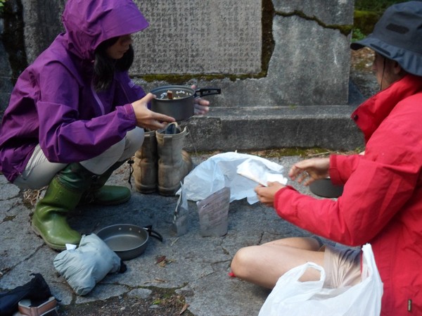
time for supper...
Cory likes to prepare food...not sure why...when I hike alone, I always bring some take-away food...to save time...
But this is not bad...
Ok...15-16 something...time for bed...
We blocked the path...but we assumed no one would pass by by now...
In the early morning, some local guy passed by...I saw his flash light...and we joined him to the peak...
It was 5-10 degrees...a perfect mountian climbing temperature...since i always get super wamr when climbing mountains...
The advantage by reaching the top by morning is that the sunrise makes the cloud go away...
And the view is better...
We could see both the west and east coast from here...
The guy in blue was used to climb mountains in taiwan....he seem to done most of them...
He and cory has quite some talk...sharing experiences...
At east, the sun was reflecting the water...
Far away we can see Yushan and some other dozen 3000+ peaks...
The random tai guy showed us arround...on the peak...
"di yi"=the first...is a local classification o the view...this is a "good view" moutain since it has visibility in 3 directions and no other mountain blocking the view...
Ti was pretty wet outside...
And we were heading down...
Still nice wearther...
On the bamboo...
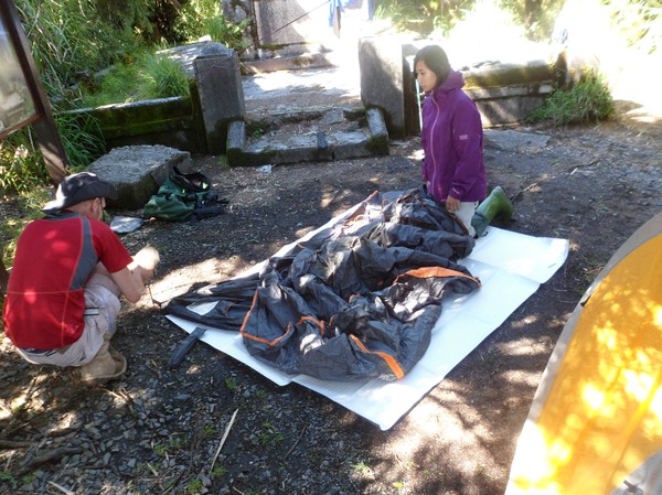
Fixing the equipment...
Some people were very slow...I can really feel that I done my military service...regarding routine to pack...i was done in 5 mins...while the other tent chose to pack inside the tent, causeing a 50 min delay...
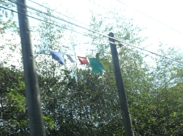
Omg...some buddha flags...
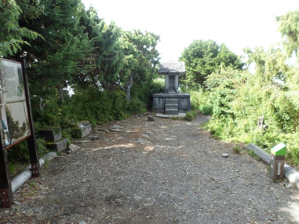
Some last rest at the temple...
Cory at the temple....
Say cheese...
Same way down...
With a better view..since now we actually could see the valley...
Down there somewhere...
Omg muhrooms...
And rivers...
Someone prepared this one...nice...
I found a poncho...and decided to return it to the cabin...
The path was nice after a while...
I often went ahead before the others..and got some quality time by myself...then its nice to have chocolate left over...
I also found some place where the rangers store some signs...up in some bushes...
And far down the slope...
When we came down below 2000 meters...it was pretty foggy...
Same ridge as before...
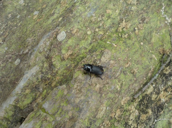
Omg...could this be a Stag beetle? I looked all over sweden for one...but it required taiwan fo see one...not sure if its a real one though...(maybe a look-alike)...
Steep edge...
And slope...
And stairs again...
Wow...30 meters down...I better not lose focus while walking...
Not its not far to the car...
More parts with high risk for landslides...
Some wierd pole in the middle of nowhere...
A foggy part...it was pretty slippery by now...
Hurray, the trail entrance...now its just 3km left to the car...
Some old men, I think 1 was a ranger...
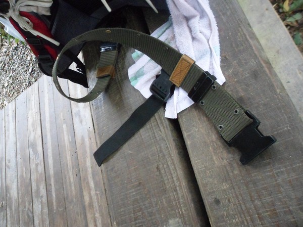
They had a military belt that we use to have in sweden...
I wonder why the have styrofoam on the conctrete blocks on the road...
Finally...tropical temperature...and the parking lot...
We saw 2 cars here when we came..and now a dozen....seems like sundays are more popular hiking days...
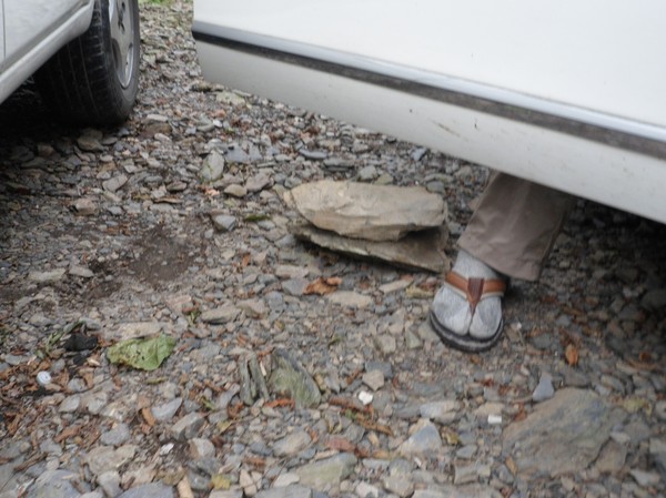
Cory colected stones for the ride down...
On the bumpy road...
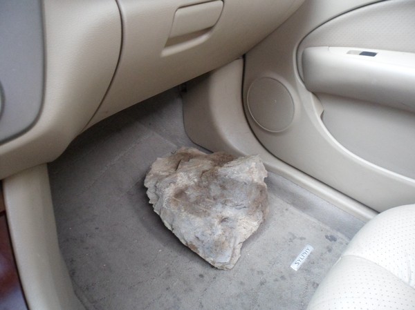
He collected them in the car...
And picked new ones as we found them....
"flat stones hunt with cory"...
There is one...
Later we had good use for them...
It seemed like scooter is the way to come here...I might use scooter next time I climb a mountain...
Cory was a good guide to show me where to drive..and to place stones at the worse parts...
Some jeep...I guess thats the perfect road car here...
After some 30 minutes we reached some aboriginal village...
Cool...aboriginal art...
Since we didnt ahve any GPS..this guy showed us the way down...in a maze of small roads...
Pretty nice...
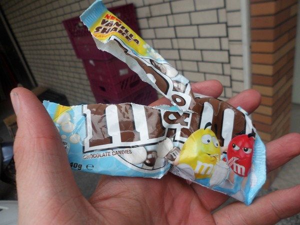
I still hd an M&M left from the hike...which i finished quickly in the car...
Omg the south of taiwan, where ppl never use helpets on scooters...
Omg...
Omg...not sure if they see it as a recommendation or decoration...
We later went on the freeway...cory suddenlt told me to turnarond.... :S...
Its not easy with all the chinese characters...
But since we are on the west coast now, the moutains should be on our right hand side...thus we had to turn around again... (we were right fomr the beginning), its strange how hard it is to enter the freeway since its high above ground one needs to find an entrance point...
Strange cliffs north of nantou...or somewhere...
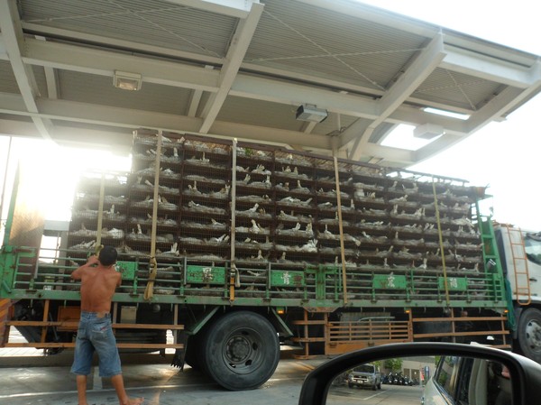
Omg..chickens...probably illegal to have them that many in these small cages in europe...
IT was a nice sunset...
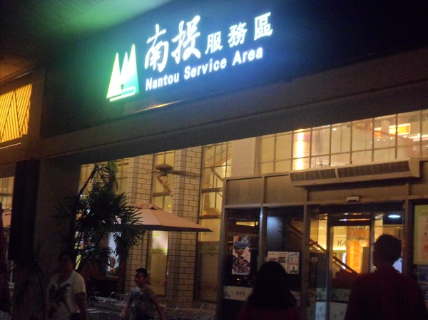
We stopped at a local place in nantou for some dinner...
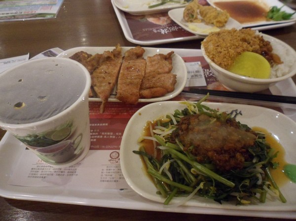
I had some local steak...
Omg...when in taipei i found many people having their bikes in the mrt...so convenient...
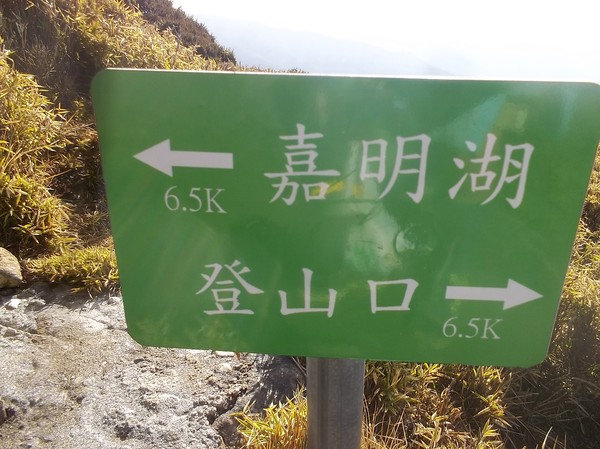
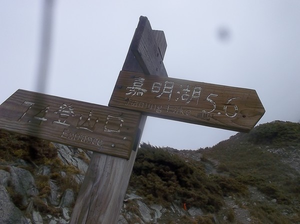
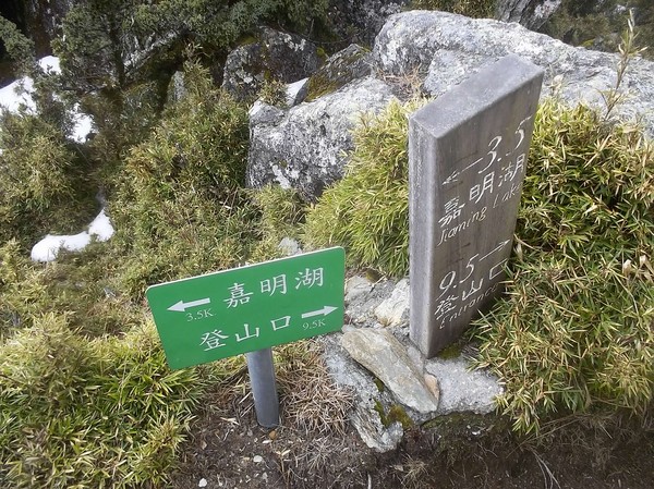
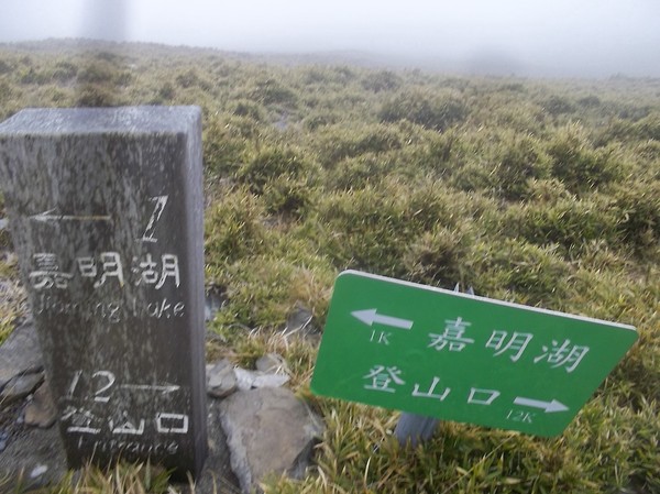
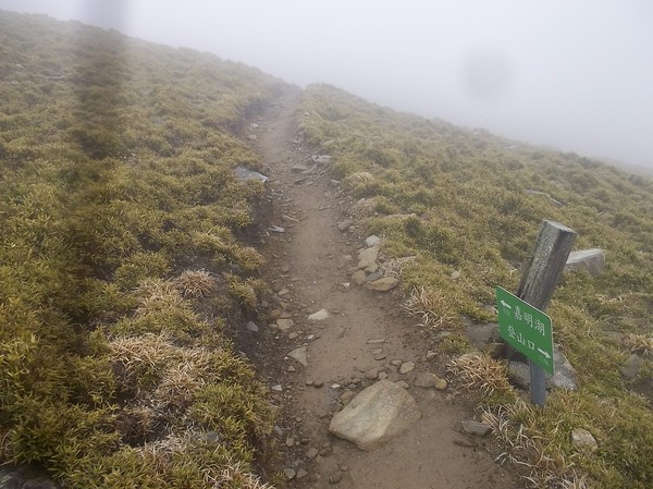
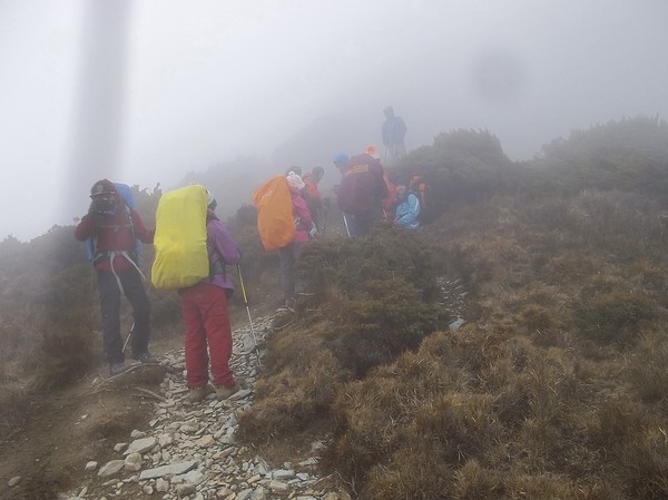
A 1 day trip to Jiaminghu (Jiaming lake)
I started some year ago to claim that theres no mountainin Taiwan, you cannot do as a 1 day hike...
...you just carry less luggage...
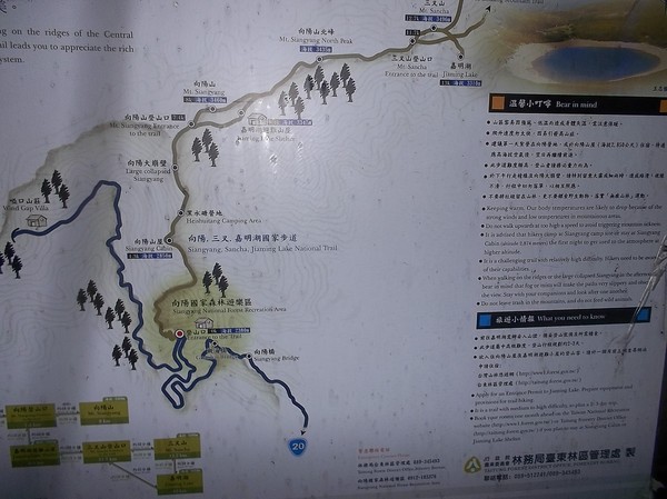
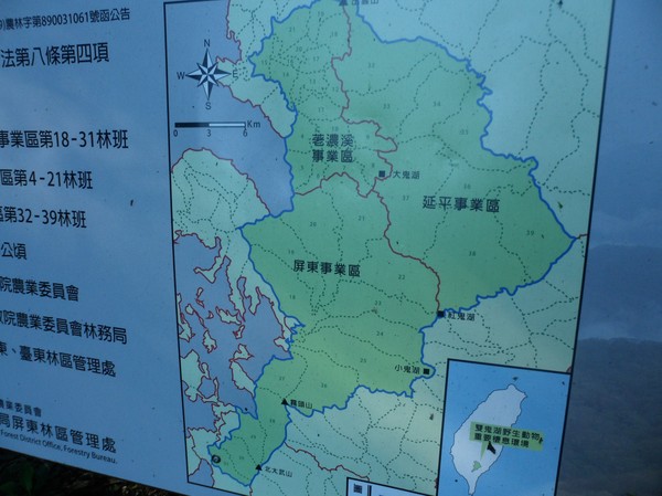
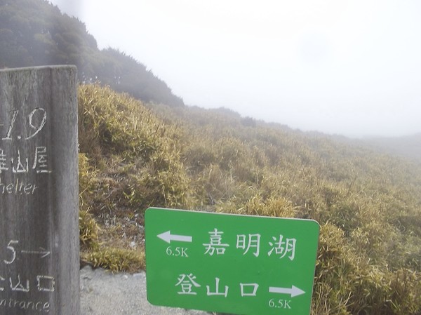
This is the trailmap of jiaming lake trail in Taidong country, on raod 20...that goes between Guanshan and Jiayi...(its broken now, but will open again in august 2014)...the road distansce is 153km, on the road...
From the trail entrance it is about 13km...
06.30:ish i started..
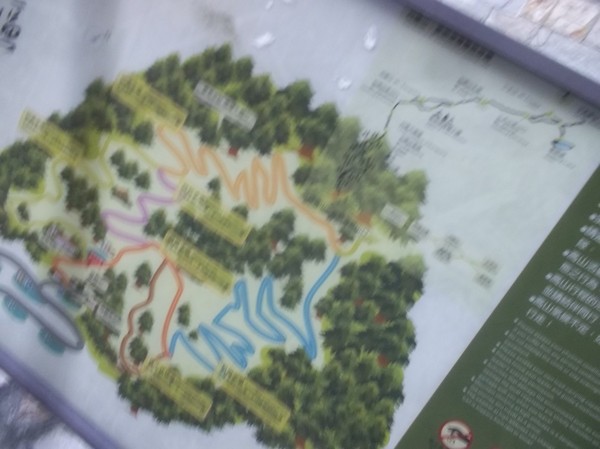
And first I had to pass by a forrest recreation area...these are very common in taiwan...
They had some wodden signs and some new green signs, telling the diestance...
And some climbing club also put up red ribbons..
It was an easy road...
And signs informtion on which mountians one could see...
This is very south...so not all mountains are high...
After some hour, I reached the first cabin, where I met many kids and some old people, who just woke up, ready to head to the second cabin...
Since I chose ot to carry heavy load, I was much faster...
There were many old pathes...sometimes I ofund these arrows, that made it easier not to walk wrong...
The path was now mostly stones...
And not that much trees...
Some times the trail split, but someone marked if the direction was wrong...
And it was sunny...which i guess is common in the mornings...
After some kilometers...the path was on a ridge...pretty easy...
Half way...as long as the trail was on the south side of the ridge it was a walkin the park...
2 hours spent after half distance...thats positive...

On the north pat of the ridge...it was more windy...and some snow...
some times the trail passed by some mountains...but I was only heading for the lake...
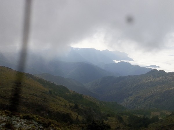
Nice view...in the clouds...
...also some times down hill...

I was wearing my 30 second camera...if i disapear...the one who find me, can follow my last minutes alive...(i often hear about mysterious stroes, when people disapear)...
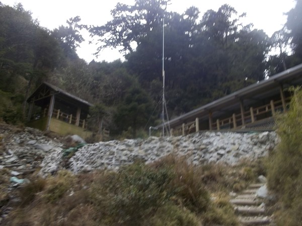
The second cabin...or many cabins...
And a high altitude toilet...
This part of taiwan have the Bunun aboriginals, this rangers name is Wasabi...something...Bununs are famous for their archery...
They also put up many tents...in case many people chose to stay here...
There were 2 rangers living there...they never checked my permit...
Omg...im getting closer...
...once in a while, I stopped to read some information signs...
Omg, clods coming from the north...there parts where there is a slope on the ridge...the wind is pretty strong...
Omg...some deer or other wild animal...I heard they even have bears here...
The path was a little deep, hindering the snow from melting...
Another place where the path splits...
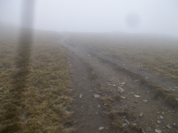
And after a while the fog started...
1 kilometer left...
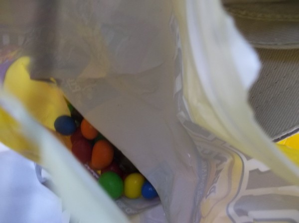
I was continously eating my M&M´s...its a tradition...when climbing mountains...
300 meters left...
Some where donw there...
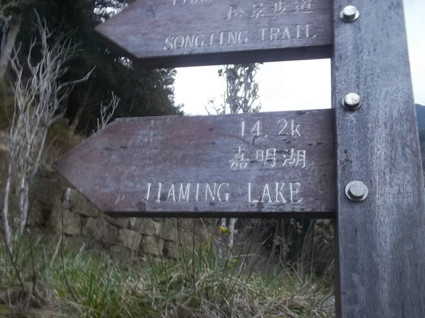
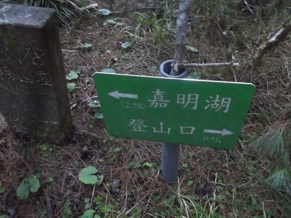
And another trail 14.3 kilometers ro another mountain...i think...
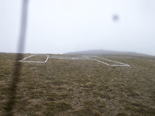
just like in Dabajianshan...they had a helicopter area...
There...finally...

10.35, it means it took about 4 hours...it was acctually what i predicted...
The lake could be bigger...on wikipedia it said that it was 6 meters deep and 120meters long...
Selfie 1...
I guess if if rains more...it gets deeper...
I couldnt find any sign with information about the lake...but I heard that some meteorit impact created the lake...
I also heard that some air plan crashed here long time ago...I wonder where...
Here is the the water goes down from the hill...
But theres no place where the water leaves...I assume its not that fresh to drink...
6 meters deep! thats scary...I should have brought a rubber duck...taiwanese people seems to like that...
(Selfie 2)..
The path becomes a creek, when it rains...
Luckily the fogg disapeared when I was at the lake...
So that I could see the south mountains...(probably the southest mountain over 3000 meters high...
Anyway...time to go back...
And then the fog started again...
...some wierd white rocks...
I didnt have a compass, but it would be fun to know, in which direction things were at...
Omg...litter...I read an aticle about that it will be prohibited to smokein national parks...I wonder if any one wil care...
The wind was still strong at the north ridge...
Some people made "less slippery grip" on the roots on the path...
Back to the second cabin...
They asked if more people were coming, and I told them about the kids...walking fromthe first cabin...
Some garbage in the bushes...
And the kids...some were practicing to walk with crampons in the snow...
It was pretty windy here...
And the kids all took a res in the wind...just like 2010 when i went to hehuanshan...I was stunned that people take a rest in the shade, or in the wind...instead of the sun, and where its no wind...i guess its different logic...
And heavy luggage...
Half way...I will make it back before it gets dark...
The first cabin was empty...
And some rangers took the motorbike..maybe they were asked to escort the kids up...
Back at the trail entrance...
It was about 14.30 now (I spent 20-30 minutes at the lake taking pics and walking around)...

And some local workers (from taizhong) having their camp here...
And then heading to taidong...
last night its was foggy, dark and rainy...now this ride back was very enjoyable...
and nice view...
Up here they have many farms...and tea plantage...
Some aboriginal village....
And monkeys in the trees...
They also have many Bunun statues along the road...
And alot of reconstruction...its a very troublesome road...it often breaks during typhoon...
I also heard there are alot of hotsprings in the area...
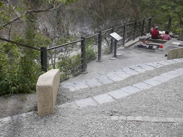
Omg...a free hotspring...

After walking all morning, I spent 5 minutes talking to an old man from nearby...
And enjoy the free hotspring...it was nice...
More statues on road 20...
After I came to taidong, I decided to head to Kaohsiung...
I had a kiwi juice at a local bar...
And went to a swedish friends house...
And my taiwanese friend who wil move to sweden next week..
I also spent some time in the Peir2 art park...
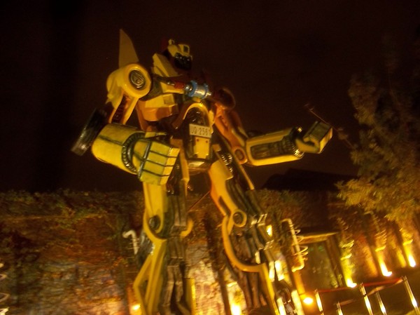
Same as i often visit her in kaohsiung...this is a transformers look-a-like...
Later on I went to a beer place...
For some sweet and sour sauce dish...
And migle with by friend who sells cider here in Kaohsiung..
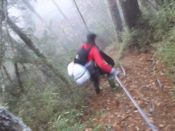
An attempt to do Zhongyangjianshan
I joined my friend Cory to go to Zhongyangjianshan, one of my favorite mountains in taiwan. Since he works until 21-30-22.00 on friday nights, and starts at 08.00 on mondays we were in a rush ...the plan was that I will go on his motorcycle from Hsinchu, the 150km, to the trail entrance after his job...after lack of sleep we took off...
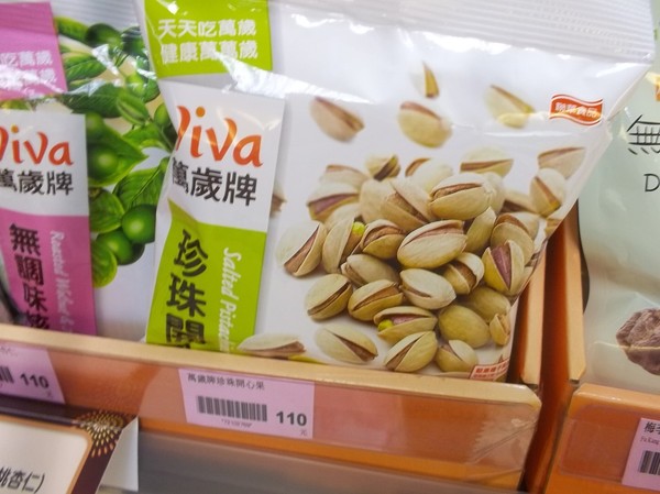
On the way form hsinchu I saw some expensive pistage nuts...I use to eat alot of these at my favorite "all you can eat" in banqiao...its intereting that they afford to offer these nuts at those restaurants...

I also bought some boots...since I was told that "i will need them":..they were originally made for scooter driving, not hikes...
Waiting at the HSR station in Taipei...Cory asked mt to meet him up in jhubei or at his place...
Here he is...
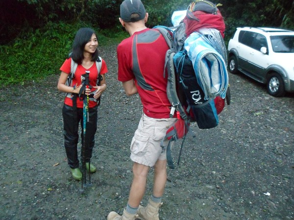
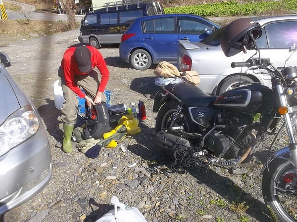
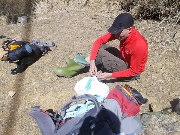
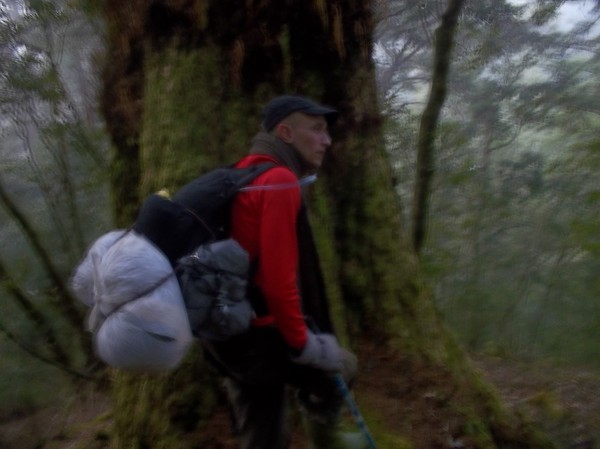
And our stuff...i was not sure what to bring...
But he bought 1 small bag and 1 big...I brought my stuff in a relatively small bag...
I had the big bag on my back the whole ride...
After half time...we stoped at an aboriginal toilet...in the moutain...
We arrived near the trail entrance around 4am...and planned to sleep some hours...we got delayed...and I saw the morgning bus, connectiong form taipei when we woke up...
Some locals were harvesting some cabbage...they started at the same time we arrived...
Its a long ride...taking us up to 2000 meters above sea level or something...

And there goes the bus...

After 2 hours sleep, we stopped at Nanshan, for some breakfast...
More City people, who will go hiking (in taiwanese way, meaning, travel to the mountain area, and walk around in a tourist park)...
Cory knew a secret shortcut, so save 2km to thetrail entrance...fromdoat 7...

We also stopped at a near by police station...but we dont need to "check in", as we needed before...nowadays, thats doable online...
Then re-arranging our stuff again...
And catching up on paople who started before us...we were pretty late...

Locals like snow...many people drive far to see this...
We wer told, 90% risk of rain...but we didnt see any for the whole weekend...
This is the entrance of the national park...we need to leave our paper in here...
Some view...
As usual...they ahve kilometer marks and 100-meter marks...at this mark ,someone left some gasoline...for some cabin further up...
And some marks, shows that it has mobile coverage...
Cory, this is his fifth time, he is on this "Nanhu trail"...
He enjoys some breaks...
Enjoying the view...
He has good equipment for the snow hikes...last year I did a mountain in the winter...but did barely see any snow...
Here we have to leave our "main trail"...since we are heading to a more rare mountain...Zhongyangjianshan...
It was tricky...
We had to walk down a long river...we even found river tracing boots...
But no distance meters....
It was confusing...however...once in a while...we saw some marks...similar to those I saw in nantou last year...
Omg...this looks like a traip...
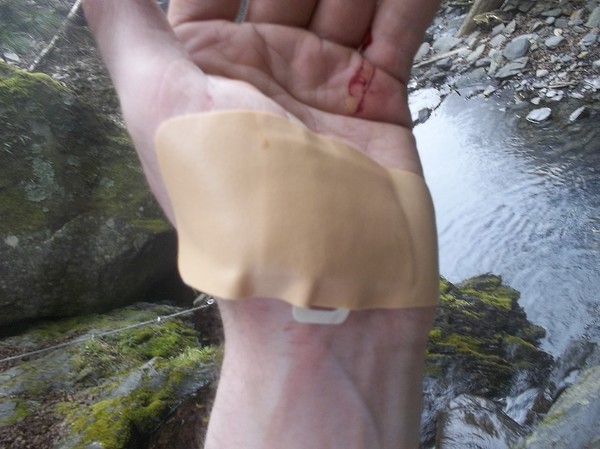
I also cut my hand...cory had first aid...
...so the trip contined...
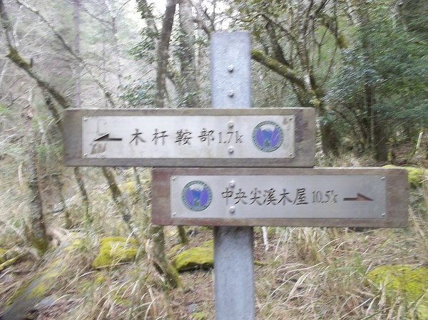
We arrived to the next hut...and it said "10.5"km to the one we plalned to stay at...
This hut was seldom visited...
We contined...since we were already late...

But it was confusing...since we didnt know how far we had left...and the sun will soon set...

And after some hour, we just has "5km" left...which was confusing...
Cory found a dead goat...is that a sign to not continue?
But we tried to follow the trail...
We decided, if we wont find any distance to the hut until 17.15...then we will stay at the other hut...
Once in a while it was hard to find the path...
I guess it was not far...but walking in the dark...when its snow. and water...felt wierd...
After another 30 minutes, we decided to return...to the other hut...apperently, we started to late, to make it until sunset...
We decided to try to trail in summer instead...and go to a nearby hotspring instead....
Heading back...
Besides...cory have to work in monday at 8 in the morning...it will be in a rush...maybe not that safe...
The hut had electricity...connected to some solar panels....
But they seemed to be broken...
Some also left food...

Its pretty sofisticated...
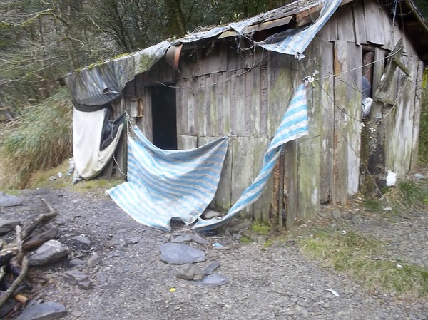
The cabin had many wholes...we installed the tent inside...cory heard mice inside and tried to put mosrt of the things in the tent...
The second day was a sunny day...
I wonder how they park administraion thinks..when they first say "10.5" and after some 2km says "5km"...its confusing...
This trail is famous for many river crossings...however, I could do thisone barefoot...
But I bought my boots "just in case"...
Else it was alot of ropes...
We could see the peak, it seemed nice...
And some village..maybe Nanshan...where we ate breakfast...
Nanhushan...als a very high mountain...
I liked this trail...it was not that exposed to the sun...these mountains belongs to Taroko national park...its pretty much on the east coast of taiwan...
Cory walking on the sun...
And some mountains...with snow...
The clouds were appraoching...maybe they will bring rain...
Not far to go now...
An emergency hut, not far from the Trail entrance...
This is where we had lunch yesterday...we can see xueshan, the second highest mountain in taiwan...
And back to the trail entrance...
Cory was a little tired...its always exhausting to climg mountains...since one needs to carry everything up and down...except water...which we drankf rom the river...
We drove directly to Nanshan, to see if I could take some bus to Yilan...else I have to go back on Corys motorcycle...
Many chartered buses from Taipei passed by...
With tourists buying cabbage...
And after some 30 minutes...my bus arrived...
Cory took of to Hsinchu...
In Loudong (Yilan), i couldnt find the train station...so I took a bus back to Taipei...no hotspring today...(it was probably too late)...we might do it next week...
A 1 day trip to Dabajianshan
I did a 1 day trip to one of my favorite mountains in taiwan...
Cory was nice to lend me his old bag...
Wow, the sign I have seen so many times...(112km to Dabajianshan)...not sure why they have that sign here...it might be just a funny thing...
Visiting the last conveinient store before the mountain road...
And I also dropped by the police station, to tell that Im here...(its some kind of thing u have to do when going to national parks and mountain climbing in taiwan)...
They had 5-6 police stations on this road...

And many small villages up in the mountians with signs of the tribes that lives there...
 It was very foggy on the mountain...
And when road 122 ended, there were no signs how to continue...so i was a little bit lost...but luckily my friend called me and told me how to go...(it was just taking left when the road ended and the forrest park started, (taiwan has many forrest parks))...
Wow, they have many big facilites high up in the mountains, so troublesome to bring all the things up here...

I finally reached the national park entrance and visited the last police station...
And got a stamp on my permit, they told me different things, some ppl say I can enter whenever I want, some say between 5 am to 11 am...which makes no sense...

I started to walk at 7am...
They had some boom blocking the road...
Many people were preparing to walk...
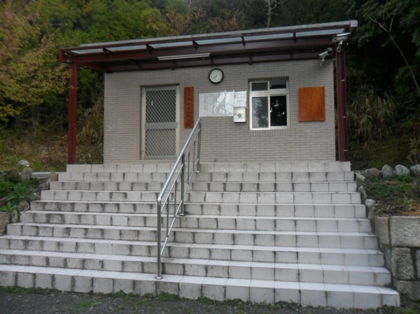
Here it the ranger station where I had to leave my permit...
And some notice about the park...

The rangers can drive the first 17km...but others cant...I guess they dont want millions of scooters and cars to drive here...its hard to repair the road...
Nice mountains...

A famous waterfall I was told...
The japanese seemed to go there...
I met many people who started earlier than me...
Omg, a car that went over the edge...

I saw many of these...maybe stones for future construction...
They had distance signs every 100 meter...
Wow, a nice waterfall...
Its always interesting with waterfalls in taiwan...not sure why...in sweden i couldnt care less...
And nettles...wow reminds me of sweden...

There was a shortcut, very steep that I took before the trail started the route looked like this:
I finally reached the national park entrance and visited the last police station...
And got a stamp on my permit, they told me different things, some ppl say I can enter whenever I want, some say between 5 am to 11 am...which makes no sense...
I started to walk at 7am...
They had some boom blocking the road...
Many people were preparing to walk...
Here it the ranger station where I had to leave my permit...
And some notice about the park...
The rangers can drive the first 17km...but others cant...I guess they dont want millions of scooters and cars to drive here...its hard to repair the road...
Nice mountains...
A famous waterfall I was told...
The japanese seemed to go there...
I met many people who started earlier than me...
Omg, a car that went over the edge...
I saw many of these...maybe stones for future construction...
They had distance signs every 100 meter...
Wow, a nice waterfall...
Its always interesting with waterfalls in taiwan...not sure why...in sweden i couldnt care less...
And nettles...wow reminds me of sweden...
There was a shortcut, very steep that I took before the trail started the route looked like this:
road 122 from hsinchu, then 25 km park road, then walk 17 km to the trail, then 11 km to the mountain (and after 4 km on this trail there was a hut, with water and electricity (i think), where people could sleep at, if they applied for a cabin space)...
At this bridge the trail starts...

And some concrete wall in the river...
Here it says "11 km to dabajianshan"...
And the path was partly stones, parly stairs...
nice forrest...
And some rest area...I always wonder how they brought the stuff here...maybe helicopter as at yushan...

Wow...looks like some houses far away...on the mountain top...
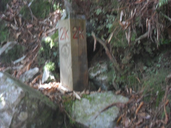
2k done...
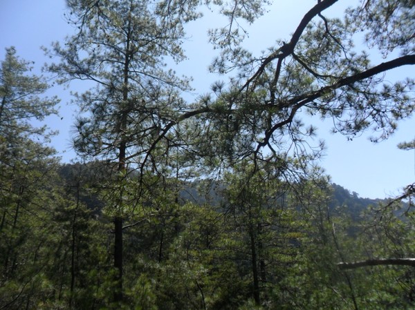
Pine trees, just like home...
And nice path...
99-hut...

I met the ranger there..he did not speak english...
He said that if i wanted to stay i could take cabin "number 6"...

They had solar panels...it was a very nice place...
Many houses...
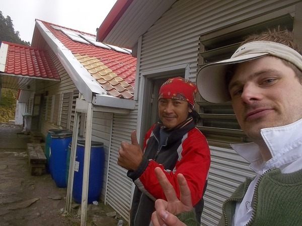
His name was "Wandan"...he was aboriginal from the Taiyazhu tribe...so cool...
I continued to the top...and saw some nice flowers on the path...

Pretty steep...
And some small puddles...(or lakes as they say here)...
Wow...after 6km on the trail I could finally see the mountain...
Covered with clouds...
It was a nice landscape up here...
A place for the helicopter to land...

Im getting closer even if there is still 5 km to go...
I can see the trail going on the other side of the valley...
Far away is hsinchu somewhere...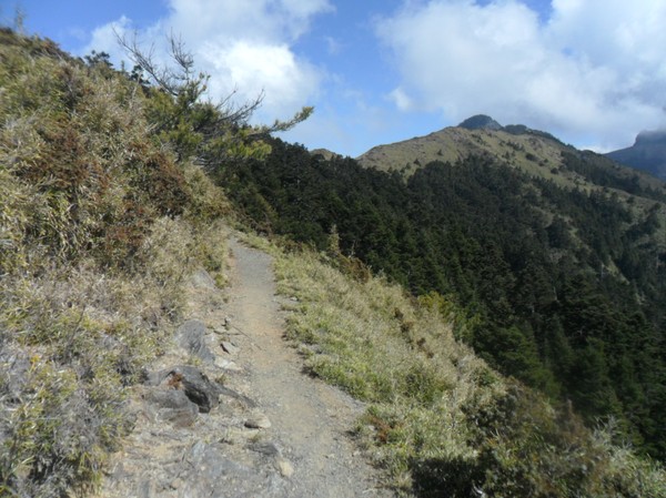
It was very sunny weather...
I had to drink alot...and I also started eating my M&M´s...
Another "lake"...
Wow...a hut...I guess its for people who cant make it down before it gets dark...to stay over the night...
Now im getting closer...
Still alot of clouds...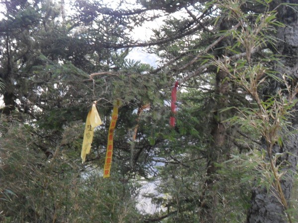
Same ribbons as they used the mountain lake in nantou (shuiyangsenling)...(some mountain climbing club put them there, since the path was a little bit tricky to find here)...
Now it was 1 km left or something...from here many people take picture...

And there is Xiaobajian shan ("da" means big, and "xiao" mean small)
Steep cliffs at many places...

And alot of small stones...

Looks a little like monument valley in USA:..
with interesing patterns...
Its illegal to climg up to the top. think its a fine of 150000NT if they catch you...
10.9km...almost there...

At the last distance they had some fence...
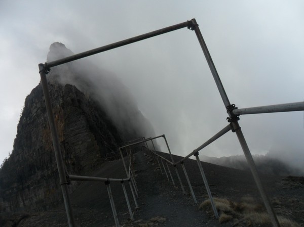
It was pretty steep on both sides...
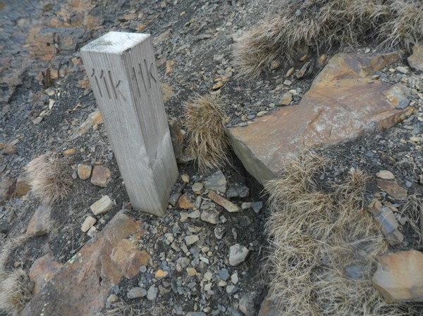
11k...I guess im at the "top"...

The path was not easy to see from here...but continues around the cliff and to xiaobajian shan and further to Xueshan, a mountain i climbed last year, but the i came from the Yilan trail entrance...I think there are 3 or 4 entrances to the national park...1 from hsinchu, 1 or 2 from yilan and 1 from taizhong...

Touching dabajianshan...
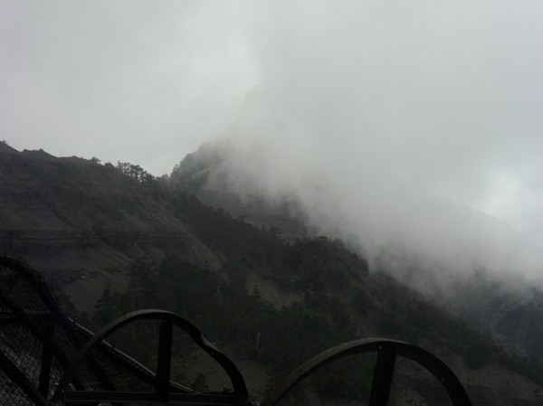
Clouds covering xiaobajianshan...
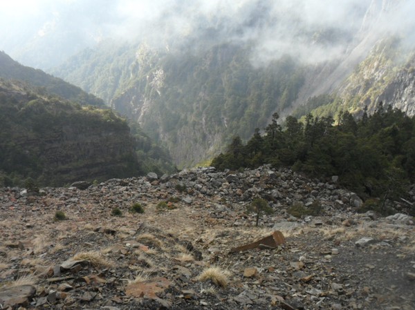
Down there I could see many stones from daba...

The path was full of stones that dropped down from the cliffs...

At this bridge the trail starts...
And some concrete wall in the river...
Here it says "11 km to dabajianshan"...
And the path was partly stones, parly stairs...
nice forrest...
And some rest area...I always wonder how they brought the stuff here...maybe helicopter as at yushan...
Wow...looks like some houses far away...on the mountain top...
2k done...
Pine trees, just like home...
And nice path...
99-hut...
I met the ranger there..he did not speak english...
He said that if i wanted to stay i could take cabin "number 6"...
They had solar panels...it was a very nice place...
Many houses...
His name was "Wandan"...he was aboriginal from the Taiyazhu tribe...so cool...
I continued to the top...and saw some nice flowers on the path...
Pretty steep...
And some small puddles...(or lakes as they say here)...
Wow...after 6km on the trail I could finally see the mountain...
Covered with clouds...
It was a nice landscape up here...
A place for the helicopter to land...
Im getting closer even if there is still 5 km to go...
I can see the trail going on the other side of the valley...
Far away is hsinchu somewhere...
It was very sunny weather...
I had to drink alot...and I also started eating my M&M´s...
Another "lake"...
Wow...a hut...I guess its for people who cant make it down before it gets dark...to stay over the night...
Now im getting closer...
Still alot of clouds...
Same ribbons as they used the mountain lake in nantou (shuiyangsenling)...(some mountain climbing club put them there, since the path was a little bit tricky to find here)...
Now it was 1 km left or something...from here many people take picture...
And there is Xiaobajian shan ("da" means big, and "xiao" mean small)
Steep cliffs at many places...
And alot of small stones...
Looks a little like monument valley in USA:..
with interesing patterns...
Its illegal to climg up to the top. think its a fine of 150000NT if they catch you...
10.9km...almost there...
At the last distance they had some fence...
It was pretty steep on both sides...
11k...I guess im at the "top"...
The path was not easy to see from here...but continues around the cliff and to xiaobajian shan and further to Xueshan, a mountain i climbed last year, but the i came from the Yilan trail entrance...I think there are 3 or 4 entrances to the national park...1 from hsinchu, 1 or 2 from yilan and 1 from taizhong...
Touching dabajianshan...
Clouds covering xiaobajianshan...
Down there I could see many stones from daba...
The path was full of stones that dropped down from the cliffs...
And somestones almost fell on me...
I decided, since I went here alone (i wanted to go with a friend but didnt have his personal data (u need passport number etc to enter)...so I had to be extra careful...
I decided, since I went here alone (i wanted to go with a friend but didnt have his personal data (u need passport number etc to enter)...so I had to be extra careful...
I arrived at about 3pm...
Maybe next time I will walk across taiwan...it would b fun...
JS as dabajianshan...(trying to look like a news reporter)...
Nice view, I think it might be xueshan in the backgorund, most peaks here are over 3000m...
And it was also pretty cold...i really liked it here...
Last view of dabajianshan...
I decided to head back, so that I atleast finished the trail before it became dark...
I had my friends voice in my head: "Dude, you cannot make dabajianshan in 1 day, its impossible"...sometimes im allergic to that kind of attitude...
Wow, another lake...
On the way down I met all the people I saw at the police station...they were just entering the trail...
Wow, I made it to the road around 6pm...now its just like a walk in the park back to the police station...
Some one made an arrow to show the shortcut to the trail entrance...

17km...I was told that there are many monkeys running around in the dark on this road...and that it would be creepy...I saw some monkeys (i think)...it was an interesting walk...

Some one made an arrow to show the shortcut to the trail entrance...
17km...I was told that there are many monkeys running around in the dark on this road...and that it would be creepy...I saw some monkeys (i think)...it was an interesting walk...
Well at the police station I had to ask if they though I had enouth fuel to get back to hsinchu...they said they thought so...(it was 75km to NCTU (the same road taking me there all the way, more or less)...
They were kind enough to give me an extra liter just in case...however, it turned out that I did make it all the way...and went to Mcdonalds...
Dabajianshan: Check!
in pingdong
I went for a hike around taiwan this week (the light version)...
Starting from Taipei and heading south on the moutian roads...

"tai 3 xian"...(road number 3...
nice fontain at a gas station...
Continuing on road 7 towards yilans mountain...

Strange roundabout with traffic lights...isnt roundabouts a substitute for traffic lights...?
Nice view...I see a lake down there some where...must be tha dame near fuxing...
Mountains showing up...civered with clouds...

Pink bridges...it feels like the alps once in a while...
Buddhist flags...

Another dame...
A dry river...
Road 7 (main road)...many of these roads brake pretty easy...

There are houses far way there...its always so impressive that people lives here in the middle of nowhere...

Smoke on the moutain...maybe a hidden hotspring...

Aboriginal pattern...I find these "diamond shapes" all over the country...

"yilan", I went here with my classmates last year heading to Xueshan (second higest mountain in taiwan)...

The atmosphere here is almost like in sweden...
But the roads are more narrow (and taiwanese moutinas are one of the steepest in the world I was told)...
Cherry blossom (the red flowers)...
Raining (near yilan, as usual)...
An old train...
Locomotive...I like...
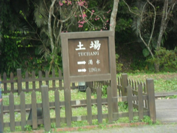
Near Tuchang...

Its a pity...its 25 km to the trail start...sun is setting and then waits another 10km to the biggest mountina lae in taiwan...(no camping allowed)...I have to do it another time...
The trip continues south up hills...

A place where the bus to Lishan us to stop (that has no conveinient stores)...but some restaurant and local stores with paintings on how houses use to look like in taiwan...
There are many things to do in yilan county...
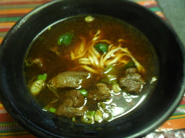
I got beef noodles...
Its chinese new year, so many people (rather: all of them)...have vacation, and are taking trips...many buses heading to the mountains...
I was recommended to go to Lishan, in the mountains by the head of chamber of commerce...its like scandinavian atmosphere...I guess its on of the higest villages in taiwan...
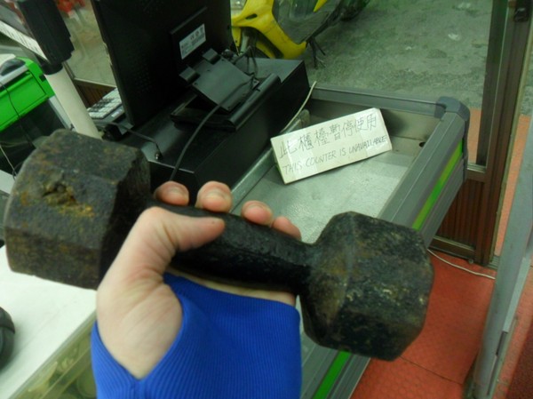
Why do they have a weight in the store entrance?

Starting from Taipei and heading south on the moutian roads...
"tai 3 xian"...(road number 3...
nice fontain at a gas station...
Continuing on road 7 towards yilans mountain...
Strange roundabout with traffic lights...isnt roundabouts a substitute for traffic lights...?
Nice view...I see a lake down there some where...must be tha dame near fuxing...
Mountains showing up...civered with clouds...
Pink bridges...it feels like the alps once in a while...
Buddhist flags...
Another dame...
A dry river...
Road 7 (main road)...many of these roads brake pretty easy...
There are houses far way there...its always so impressive that people lives here in the middle of nowhere...
Smoke on the moutain...maybe a hidden hotspring...
Aboriginal pattern...I find these "diamond shapes" all over the country...
"yilan", I went here with my classmates last year heading to Xueshan (second higest mountain in taiwan)...
The atmosphere here is almost like in sweden...
But the roads are more narrow (and taiwanese moutinas are one of the steepest in the world I was told)...
Cherry blossom (the red flowers)...
Raining (near yilan, as usual)...
An old train...
Locomotive...I like...
Near Tuchang...
Its a pity...its 25 km to the trail start...sun is setting and then waits another 10km to the biggest mountina lae in taiwan...(no camping allowed)...I have to do it another time...
The trip continues south up hills...
A place where the bus to Lishan us to stop (that has no conveinient stores)...but some restaurant and local stores with paintings on how houses use to look like in taiwan...
There are many things to do in yilan county...
I got beef noodles...
Its chinese new year, so many people (rather: all of them)...have vacation, and are taking trips...many buses heading to the mountains...
I was recommended to go to Lishan, in the mountains by the head of chamber of commerce...its like scandinavian atmosphere...I guess its on of the higest villages in taiwan...
Why do they have a weight in the store entrance?
I was looking for an elemantary school, since there u can camp without problem...(people say)...
I there after went to get some food in lishan...many people ate at the "Only place open"...
Some meat screwers...
They also had ginger tea at some other place...
It was maybe 10-15 degrees outside...
The elemantary school was pretty new....even the toilet was barely used...
Next day the weather was nice...

I love pretty chirches in mountain areas...taiwan has some, since the aboriginals are mostly christians...

And many europeans went here (also some ppl from korea etc) to spread the bible message...
Wow...maybe its nanhu mountain...
And there is Hehuanshan, some where...a moutain i climed some years ago...
Nice stairs...I wanna have a house here...in these pitoresque lishan blocks...

On of the only stores open in the morning to sell breakfast...
The guy here, seems to own most big places in lishan, he has a wool sweater...
The higest gamler store in taiwan can be found here...

Omg, a new character...(the one to the left)...means palm tree I was told...

Another nice church...
Some meat screwers...
They also had ginger tea at some other place...
It was maybe 10-15 degrees outside...
The elemantary school was pretty new....even the toilet was barely used...
Next day the weather was nice...
I love pretty chirches in mountain areas...taiwan has some, since the aboriginals are mostly christians...
And many europeans went here (also some ppl from korea etc) to spread the bible message...
Wow...maybe its nanhu mountain...
And there is Hehuanshan, some where...a moutain i climed some years ago...
Nice stairs...I wanna have a house here...in these pitoresque lishan blocks...
On of the only stores open in the morning to sell breakfast...
The guy here, seems to own most big places in lishan, he has a wool sweater...
The higest gamler store in taiwan can be found here...
Omg, a new character...(the one to the left)...means palm tree I was told...
Another nice church...
Xueshan ridge...
Steep moutains roads...leading west...
The weather is often sunny in the morning up here...
Steep moutains roads...leading west...
The weather is often sunny in the morning up here...
I want to see Dabajian shan, a cool mountain in Hsinchu county...but I cannot see it...
Here is hehuanshan, its where im currently am heading...
There are many police stations up here...

Wow, nice cabin, I wonder how much it costs to buy that one...
Wow, nice cabin, I wonder how much it costs to buy that one...
Road 8 meets up road 7 after a while...

Passing a tunnel on the highest road in taiwan...
The "dark moutain"...

Road 14 meets up road 8...leading east to hualien or west to nantou...(on of the few moutain roads that are crossing taiwan (think there are 2-3 thats not broken)...
I camped at this parkin lot 2 years ago with NCTUs moutains climbing club...

Now Im heading to hehuan shan...
No trees grows there...im at 3000m above sea level now...
Many tai ppl are coming here during vacation to see the view...since cars can drive up here...
The traffic is chaotic...
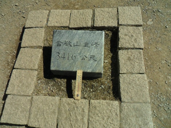
The top of hehuanshan (centra peak)...3416meters high...
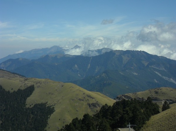
There is my favorite moutain...the pyramid moutains...no snow on any top...there are truly many rumors here...I was told there was alot of snow up here this week...

And xueshan...

And Hsinchu county...
I went on this road up...many houses and hotels up here...
The road continues west...

Nice moutain house...
The houses here looks like home...no "container architecture" like in the taiwanese cities...
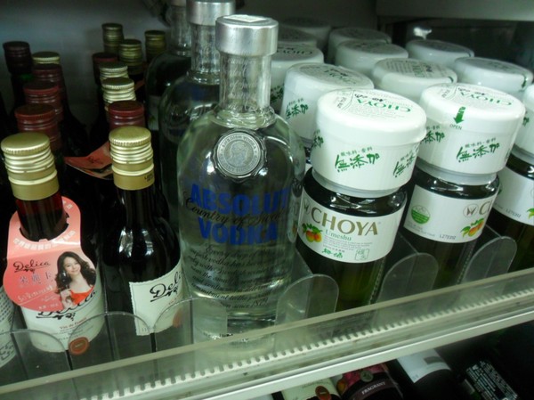
Wow...Absolute vodka was found...in the the closest 7-11...

Many people came here...thay had a lady with a mic at the entrance...
And the micro waves at a separate corner of the store...
People say this area is famous due to a sheep farm...(think i visited that 2 yearsa ago when I swam cross sunmoonlake)...

The highest 7-11 in taiwan...
9 people working here...is that efficient...?

7 behind the desk, the lady with the mic and the guy at the oven...
More nice houses (pic was taken while making speed)...

Another nice house...
Cherry blossom...

I wonder why taipei dont have these nice houses (atleast I cant find them)...
the "sheep farm"...very toursitic...
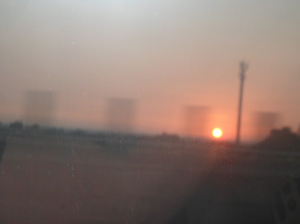
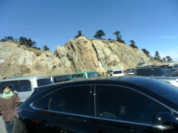
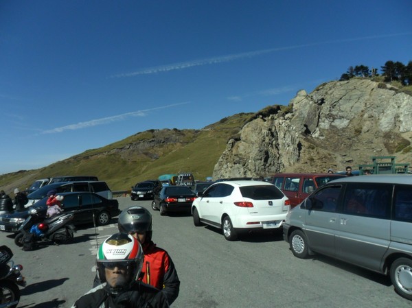
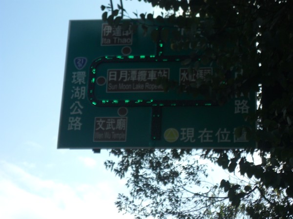
Many cars here...

And maybe 10-20km of queue uphill...
the queues never ended...25million people with vacation at the same time...

But the air was fresh...
I been here 2-3 times before...its nice...
More non taiwanese roofs...

Passing a tunnel on the highest road in taiwan...
The "dark moutain"...
Road 14 meets up road 8...leading east to hualien or west to nantou...(on of the few moutain roads that are crossing taiwan (think there are 2-3 thats not broken)...
I camped at this parkin lot 2 years ago with NCTUs moutains climbing club...
Now Im heading to hehuan shan...
No trees grows there...im at 3000m above sea level now...
Many tai ppl are coming here during vacation to see the view...since cars can drive up here...
The traffic is chaotic...
The top of hehuanshan (centra peak)...3416meters high...
There is my favorite moutain...the pyramid moutains...no snow on any top...there are truly many rumors here...I was told there was alot of snow up here this week...
And xueshan...
And Hsinchu county...
I went on this road up...many houses and hotels up here...
The road continues west...
Nice moutain house...
The houses here looks like home...no "container architecture" like in the taiwanese cities...
Wow...Absolute vodka was found...in the the closest 7-11...
Many people came here...thay had a lady with a mic at the entrance...
And the micro waves at a separate corner of the store...
People say this area is famous due to a sheep farm...(think i visited that 2 yearsa ago when I swam cross sunmoonlake)...
The highest 7-11 in taiwan...
9 people working here...is that efficient...?
7 behind the desk, the lady with the mic and the guy at the oven...
More nice houses (pic was taken while making speed)...
Another nice house...
Cherry blossom...
I wonder why taipei dont have these nice houses (atleast I cant find them)...
the "sheep farm"...very toursitic...
Many cars here...
And maybe 10-20km of queue uphill...
the queues never ended...25million people with vacation at the same time...
But the air was fresh...
I been here 2-3 times before...its nice...
More non taiwanese roofs...
A nice yellow house...

A nice church top...
More houses...
Another church...

A nice church top...
More houses...
Another church...
And more churches...
Hours of queuing up hill...
A seediq aboriginal resturant...sweet...
And Bitan, my favrite lake...

seen it many times before...but its hard to get to...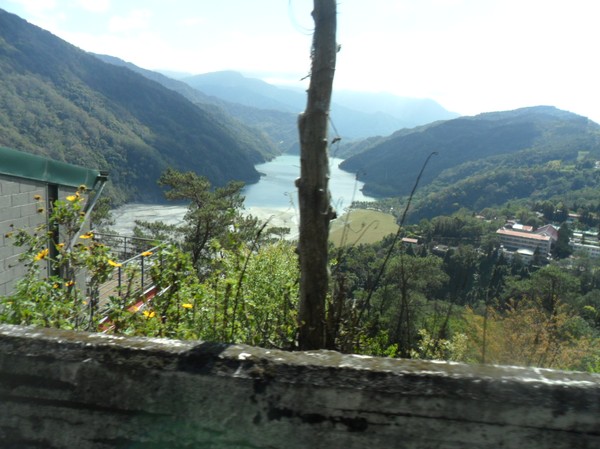
I was told its a dame thats not "real"...
Well...I wanna see it closer...
After 10-20 mintues(to the other side of the dame)...I reached the bank...

Some boats, and float bridges...no people...

They could have nice swimming competitions here...

The churches and houses I just passed are up on the hill...

More traffic...
Hours of queuing up hill...
A seediq aboriginal resturant...sweet...
And Bitan, my favrite lake...
seen it many times before...but its hard to get to...
I was told its a dame thats not "real"...
Well...I wanna see it closer...
After 10-20 mintues(to the other side of the dame)...I reached the bank...
Some boats, and float bridges...no people...
They could have nice swimming competitions here...
The churches and houses I just passed are up on the hill...
More cherry blossom...
Its fun, these yellom reflectors on thecrash barriers...makes vecicles sound funny...the sound reflects differently...
Now heading to next lake...to road 151...how do I find that one?...

Funny jacket...with the "7-11" logo on it...I will look like a staff if i wear that in a store...
Have to pass sunmoonlake to get to road 151...andmore traffic...
Taiwanese hollidays...

Its fun, these yellom reflectors on thecrash barriers...makes vecicles sound funny...the sound reflects differently...
Now heading to next lake...to road 151...how do I find that one?...
Funny jacket...with the "7-11" logo on it...I will look like a staff if i wear that in a store...
Have to pass sunmoonlake to get to road 151...andmore traffic...
Taiwanese hollidays...
Some people now wearing helmet (its like beeing on the east coast or south of taiwan, where helmet is more a recommendation or decoration)...
And a "fjällräven" bag...they are getting more popular here...
Road 21 to sun moon lake...road 21 crosses the island from middle to south...

The cars were still...
The cars were still...
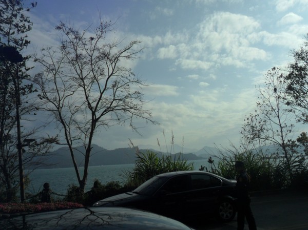
Wow, sun moon lake...


A police man trying to arrange the traffic...
FUnny bulding, is that typhoon proof?so high and thin...


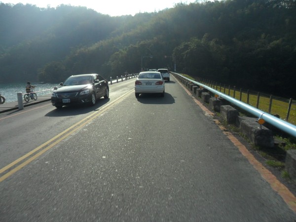
Nice bike path going around the lake...
A ridge that separates the lake from the farms to the right (the lake was created when japanese people occupied taiwan)...

Very touristic here as well...
Nice bike path going around the lake...
A ridge that separates the lake from the farms to the right (the lake was created when japanese people occupied taiwan)...
A marathon will go around the lake soon...
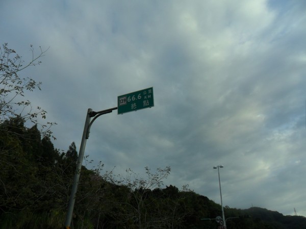
"666"
It was less traffic on the south part of the lake...
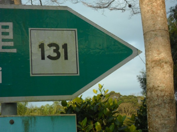
Taking road 131 up to some mountain village...
More traffic...
Changing to raod 151...towards an old "forrest park":..
never ending... queues...

Here...some 1000-2000 meter up some one had an arcade...
15 degrees...its warm for being home...
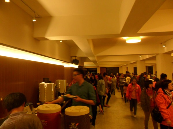
An "all you can eat" meal was waiting, only 300nt (70SEK)
 The food was soso.
People drive car up here...and take a walk between the houses to say they been on a hike...
I was heading to a lake that was created by an earthquake...but I prefered to hike near the lights...
And no vehicles allowed near the path, so I had to walk 2km, or wait for a but that leaves in 1 hour...
Locals tolb me it would take 6-7hours to walk there...(to the lake)...

They had ceom nice flowers in the area...

The path was pretty small and steep...

I had to climb ladders some times...
It was very bad infromation, only in chinese some times...and some ribbons of different colours leading to different places...
Nice shape of the mountain...

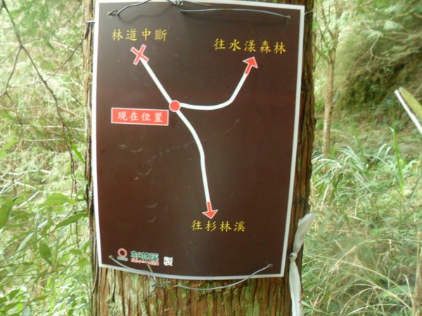
Hmm, where to go...I got the characted of the destimation...both ways are leading to the destination...
I pickes a steep path, hoping it will be faster...I had to be back at the hotel area before it gets dark...
Nice view...
Omg, a rest place on the top of a mountain...

But chinese information, and to ways to go...hmm, I walked back and forth, trygin to figure out whree to go...

I picked the road to the left...it seemed like more people walked this way...
I also meet some random people who said it was this way (i hope they are right)...
Yep, more ribbons...
Nice forrest, I felt like home for a while...
Omg, the path just ended...where to go...
its a small path heading into the high grass...but barely anyone walked there before...
Hmm...after 10 minutes looking, I found a had written sigh, saying "walk left"...

Omg, a house in the middle of nowhere, who carried these stones here (maybe 2-3 hours walk for normal people, in steep terrain)...

And later on I found another house...
It turned out that the first house was a temple...and this was a hosue for workers, in the area, long time ago...

It seemd pretty nice...
The path became better after a while, I turned out that when the "other" road met up wuth my "fast and steep" path, it was easier to walk...
And some roads were closed...

Not sure where to go...I take right...

Steep hills...

More signs...hmm copnfusing...I sked everyone I met (3-4 people If i was on the right path)...I hope they were right...
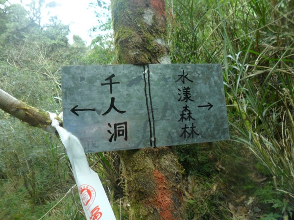
Wow...after 3 hours i came to the lake...good, then I have plenty of time, to contines to destination number 2...a cave...
Many people camped at the lake...

Some foreingers....I asked how to walk to the cave...and they gave me directions...

This was a normal forrest 10 years ago...(something)...then suddenly the earthquake created this lake...
I had to walk alon the lake to get to the cave...

And I met more foreinger who were heading to the same direction, they camped at the lake for some days...(all american english teachers, as it seemed)...

"666"
It was less traffic on the south part of the lake...
Taking road 131 up to some mountain village...
More traffic...
Changing to raod 151...towards an old "forrest park":..
never ending... queues...
Here...some 1000-2000 meter up some one had an arcade...
15 degrees...its warm for being home...
An "all you can eat" meal was waiting, only 300nt (70SEK)
The food was soso.
People drive car up here...and take a walk between the houses to say they been on a hike...
I was heading to a lake that was created by an earthquake...but I prefered to hike near the lights...
And no vehicles allowed near the path, so I had to walk 2km, or wait for a but that leaves in 1 hour...
Locals tolb me it would take 6-7hours to walk there...(to the lake)...
They had ceom nice flowers in the area...
The path was pretty small and steep...
I had to climb ladders some times...
It was very bad infromation, only in chinese some times...and some ribbons of different colours leading to different places...
Nice shape of the mountain...
Hmm, where to go...I got the characted of the destimation...both ways are leading to the destination...
I pickes a steep path, hoping it will be faster...I had to be back at the hotel area before it gets dark...
Nice view...
Omg, a rest place on the top of a mountain...
But chinese information, and to ways to go...hmm, I walked back and forth, trygin to figure out whree to go...
I picked the road to the left...it seemed like more people walked this way...
I also meet some random people who said it was this way (i hope they are right)...
Yep, more ribbons...
Nice forrest, I felt like home for a while...
Omg, the path just ended...where to go...
its a small path heading into the high grass...but barely anyone walked there before...
Hmm...after 10 minutes looking, I found a had written sigh, saying "walk left"...
Omg, a house in the middle of nowhere, who carried these stones here (maybe 2-3 hours walk for normal people, in steep terrain)...
And later on I found another house...
It turned out that the first house was a temple...and this was a hosue for workers, in the area, long time ago...
It seemd pretty nice...
The path became better after a while, I turned out that when the "other" road met up wuth my "fast and steep" path, it was easier to walk...
And some roads were closed...
Not sure where to go...I take right...
Steep hills...
More signs...hmm copnfusing...I sked everyone I met (3-4 people If i was on the right path)...I hope they were right...
Wow...after 3 hours i came to the lake...good, then I have plenty of time, to contines to destination number 2...a cave...
Many people camped at the lake...
Some foreingers....I asked how to walk to the cave...and they gave me directions...
This was a normal forrest 10 years ago...(something)...then suddenly the earthquake created this lake...
I had to walk alon the lake to get to the cave...
And I met more foreinger who were heading to the same direction, they camped at the lake for some days...(all american english teachers, as it seemed)...
The lake was big...

And here the lake goes down, a small creek...I would have been disapointed if it was a stone blocking the creek, but it seem like the earth was pushed up...
A flying lantern had landed on a tree in the middle of nowhere...thats cool...
The path was leading to a dry river...
I had to walk on stones for a while...
I was on the right way (i recognized these character)...
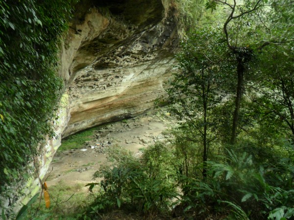
The cave...not as impresive as the lake...

A sign that it was the thousan people cave...

Some people campes here before...
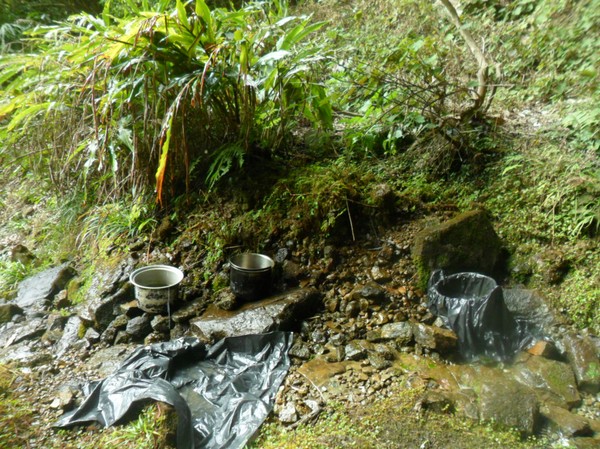
And potts gathered dripping water...

It would be nice to stay here...or continue on the path (That accutlaly leads to alishan)...

11.09, it took me about 4 hours from the hotel area to the cave...
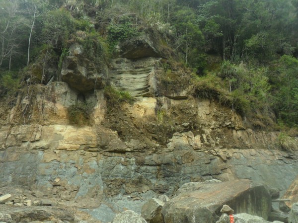
I headed back, n time to waste...seeing nice shaped cliffs on my way back...
After another hours I came back to the lake...

A guy called Tyler said I could use his water filter to refill my water bottle...
Many old taiwanese people were at the camp...

And an american who ben to taiwan only for 2 weeks...and will study chinese for a year while teaching english...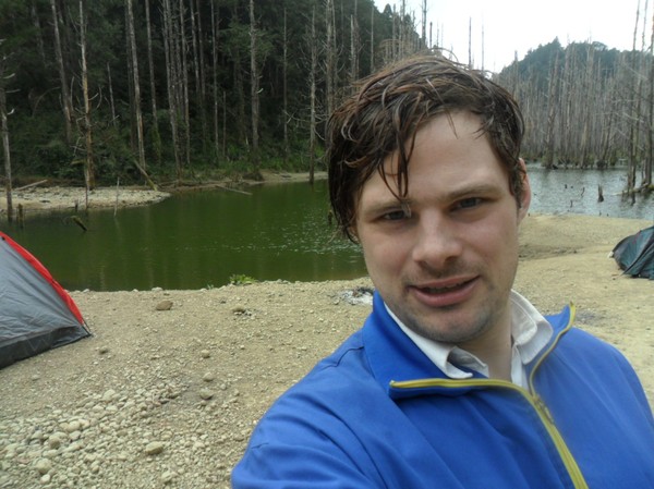
And here the lake goes down, a small creek...I would have been disapointed if it was a stone blocking the creek, but it seem like the earth was pushed up...
A flying lantern had landed on a tree in the middle of nowhere...thats cool...
The path was leading to a dry river...
I had to walk on stones for a while...
I was on the right way (i recognized these character)...
The cave...not as impresive as the lake...
A sign that it was the thousan people cave...
Some people campes here before...
And potts gathered dripping water...
It would be nice to stay here...or continue on the path (That accutlaly leads to alishan)...
11.09, it took me about 4 hours from the hotel area to the cave...
I headed back, n time to waste...seeing nice shaped cliffs on my way back...
After another hours I came back to the lake...
A guy called Tyler said I could use his water filter to refill my water bottle...
Many old taiwanese people were at the camp...
And an american who ben to taiwan only for 2 weeks...and will study chinese for a year while teaching english...
Johan, high on caffein, convinced he can do any hike in taiwan in less than 6-8 hours...
Omg, a Mcdonalds "M" on the ground...can u find it?

I carried my friend luggage back to the hotel area...and we picked an easier way (but longer) back...
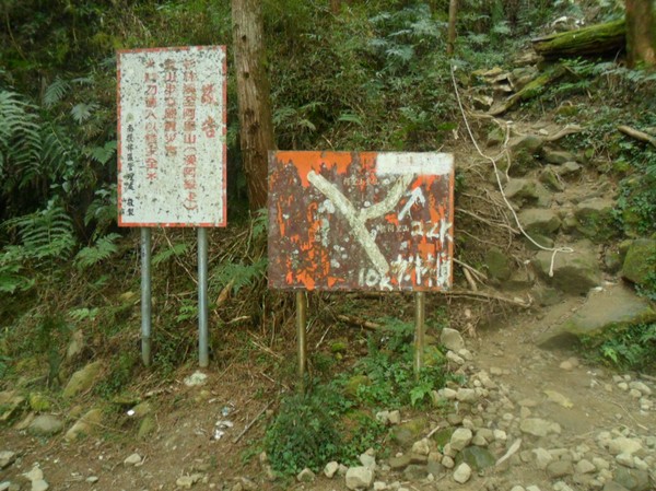
Strange sign...the information was facing the forrest, not tha path...
It was showing the distance (finally), so far, no distance was displayed...
But stupid enough itwas not readable for people walking on the path...
Starnge...

The new path was steep in the begining...
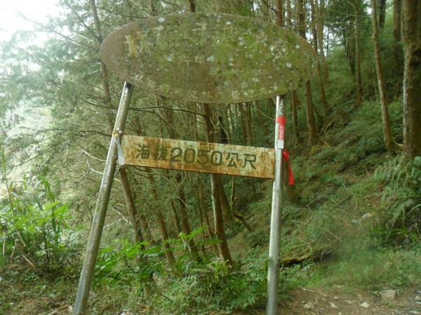
But later it was very easy...(2050 meter high)...
Some old map...
This I could run...no wonder so many kids come here...
More chinese maps...
And a hut, for slow hikers...(or who just enjoy spending their time in the rural area)...

And some old, shit house...

I met a guy from Changhua with orange beard...wierd...

A nice water fall...but it was dry...
Wow...here tha cars can drive up....for lazy walkers...
pretty fresh...mabye the people i passed by on my woy down took the car...
It started to rain when I arrived to the hotel area (a little)...

cloudy skies...
And back to the forrest park...
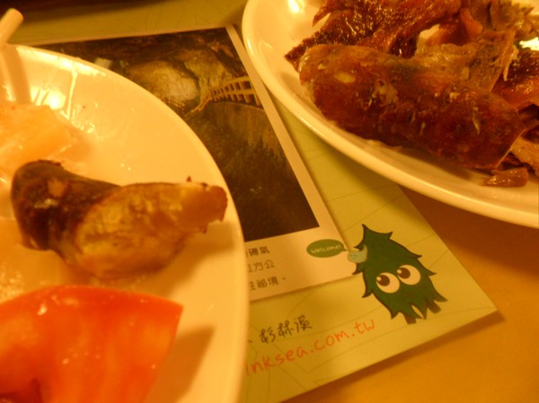
Dinner was eaten at a "famous" place near nantou...chicken place...
It was ok...

They had the soap in a web, that was clever...the it wont be dropped....
Later a visit to exther was made...she is nice...
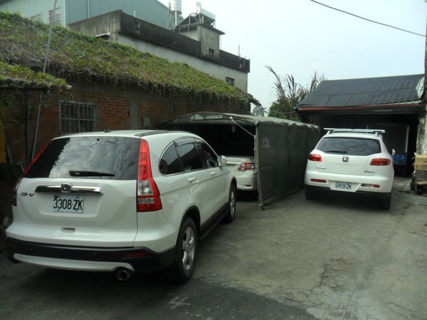 She has many white vehicles at her house...
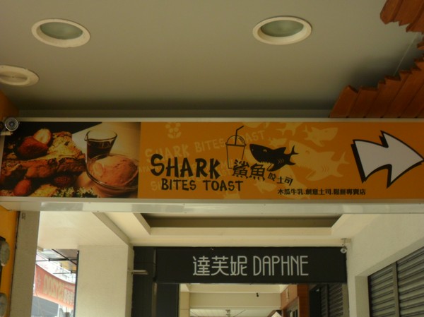
We ate breakfast at a shark place...
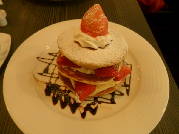
I had a strawberry pancake thing...
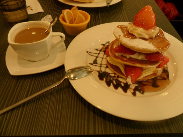
With coffee...
Omg, a Mcdonalds "M" on the ground...can u find it?
I carried my friend luggage back to the hotel area...and we picked an easier way (but longer) back...
Strange sign...the information was facing the forrest, not tha path...
It was showing the distance (finally), so far, no distance was displayed...
But stupid enough itwas not readable for people walking on the path...
Starnge...
The new path was steep in the begining...
But later it was very easy...(2050 meter high)...
Some old map...
This I could run...no wonder so many kids come here...
More chinese maps...
And a hut, for slow hikers...(or who just enjoy spending their time in the rural area)...
And some old, shit house...
I met a guy from Changhua with orange beard...wierd...
A nice water fall...but it was dry...
Wow...here tha cars can drive up....for lazy walkers...
pretty fresh...mabye the people i passed by on my woy down took the car...
It started to rain when I arrived to the hotel area (a little)...
cloudy skies...
And back to the forrest park...
Dinner was eaten at a "famous" place near nantou...chicken place...
It was ok...
They had the soap in a web, that was clever...the it wont be dropped....
Later a visit to exther was made...she is nice...
She has many white vehicles at her house...
We ate breakfast at a shark place...
I had a strawberry pancake thing...
With coffee...
Heading south from nantou on road 3...passing many hills...and binlang trees...
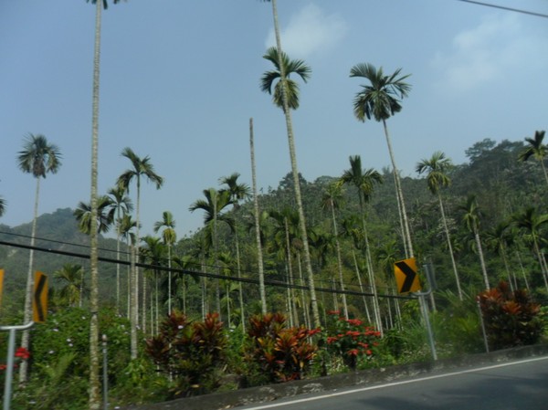
They never seemed to end...
Road 3, the same I started on, in taipei...

Nice view...
A car was delvering binlang or something...

MIssing kids were announced at a local gas station...
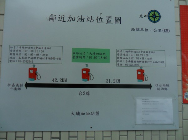
Omg...up here, its rare with gas stations...

Another moutain lake...

They never seemed to end...
Road 3, the same I started on, in taipei...
Nice view...
A car was delvering binlang or something...
MIssing kids were announced at a local gas station...
Omg...up here, its rare with gas stations...
Another moutain lake...
Raod 20...its broken...else I would take it, it leads to the east coast...and a place I wanna hike...instead I was heading south, almost to the very south of taiwan to be able to cross the island...
This lady in pingdong was amazing, she acctually knew were to find "allyoucan eat" resturants...and she also knew how to go there...

Omg,,,199nt for all you can eat meat, (50SEK)...
This lady in pingdong was amazing, she acctually knew were to find "allyoucan eat" resturants...and she also knew how to go there...
Omg,,,199nt for all you can eat meat, (50SEK)...