A hike to Zongyangjianshan (中央尖山/Central Range Point)
The "only pyramid shaped mountain in taiwan" i was told...
It has been on my bivket list since 2010, when I went with a m ountain climbing club for some lame mountains
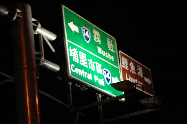
I drove from Jiayi north on road 14...in the night...passing Puli, they use to have a swedish restaurant here...
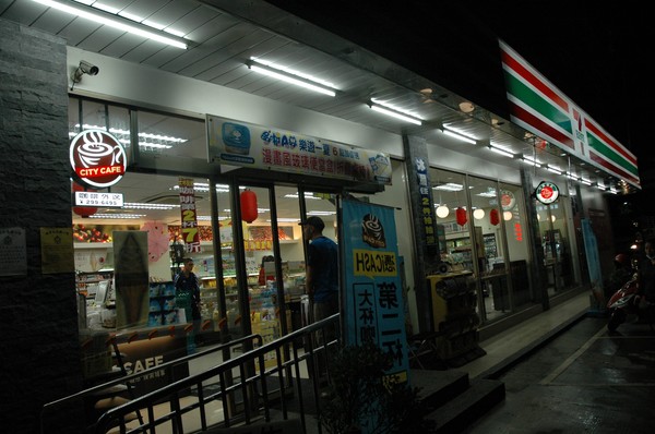
I also made a 7-11 purchase of alot of food...

Then we passed the highest road in taiwan...hehuanshan...or wuling...as it also is called...
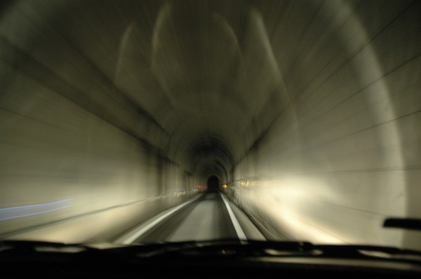
Some tunnel on road 8...towards road 7...
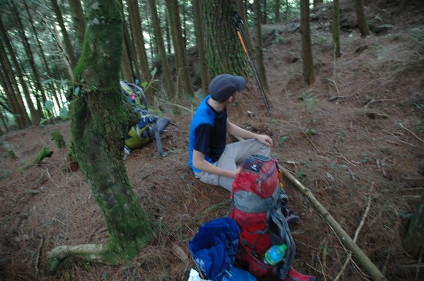
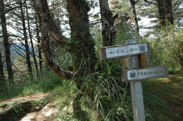
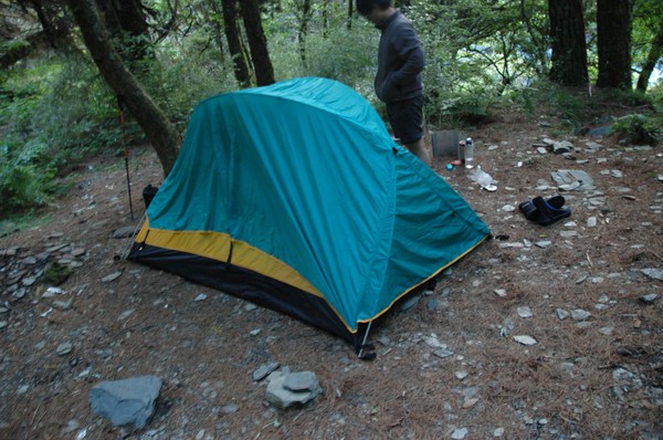
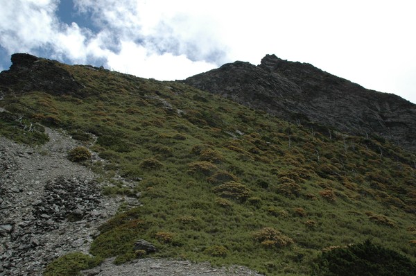
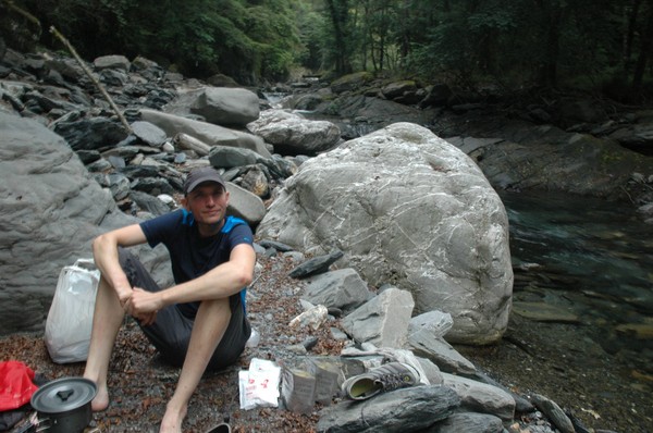
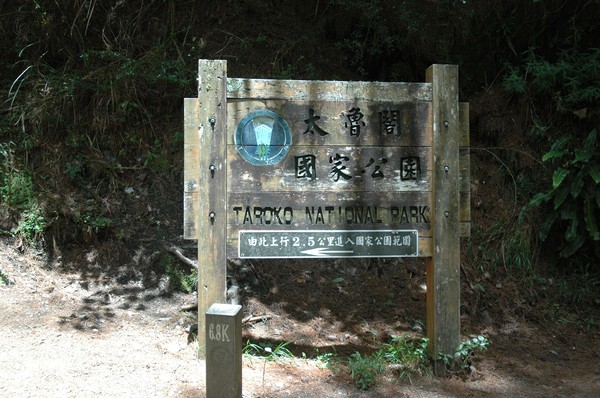
And then I slept in tent at the trail entrance of zhongyangjianshan and nanhushan....
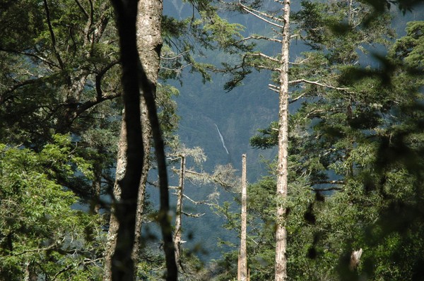
After some hours climbing I could se Snow mountain..or xueshan...
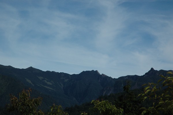
And there...pintian and a part of the "holy ridge" corssing taiwan...vbut it partly borken at hsinchu area...
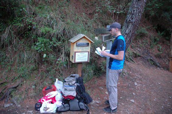
After some time we reached the trail entrance...time to dump some papers...mountain climbing is very complicated in taiwan

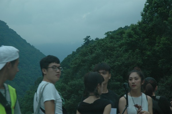
some random tais climbing...and many some hongkong people
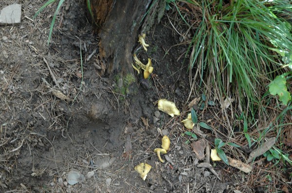
omg...mushrooms...
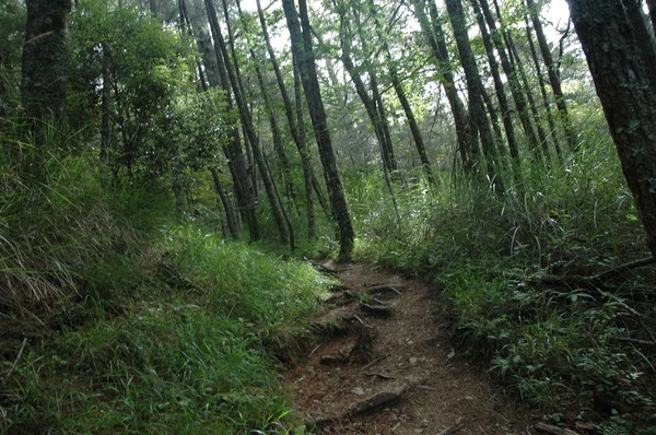
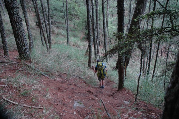
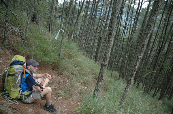
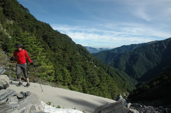
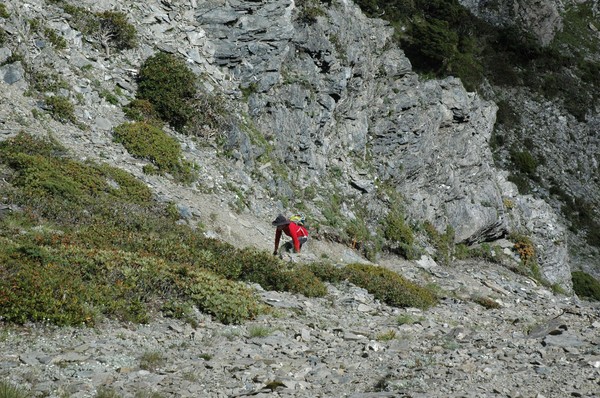
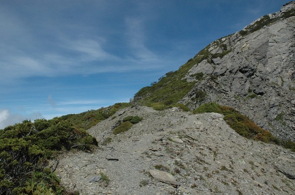
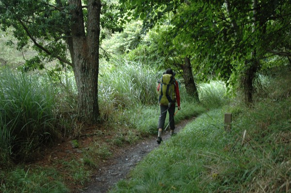
starting on nanhu trail...up up up
my cookies became pillows...the air pressure is low here...
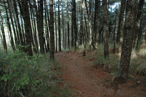
and up here abobe 2000m its mostly pine trees and bushes...
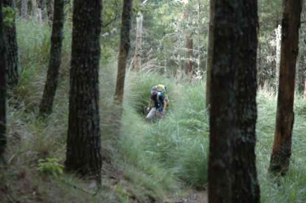
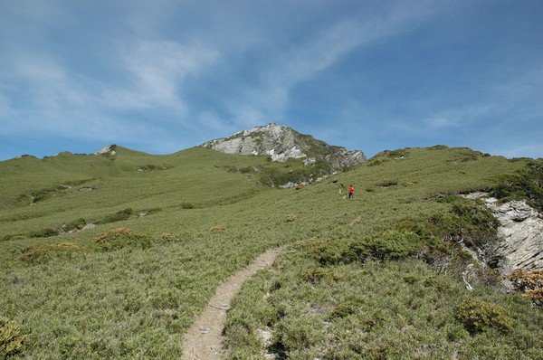
cory walking in the grass...

he walked this trail 12 times...he likes to hike...but he only reached the mountain we are heading to now once...2 weeks ago...after 4-5 attempts...

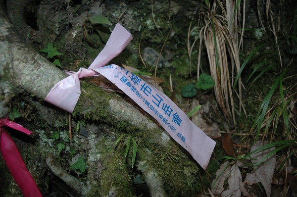
its hard to get a good reception on ytour phone up here..so the few spots that have connection they usually announce it with a sign

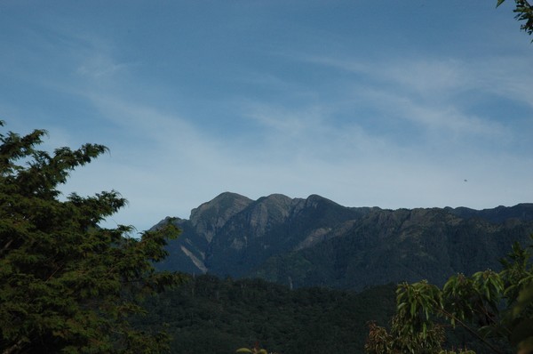
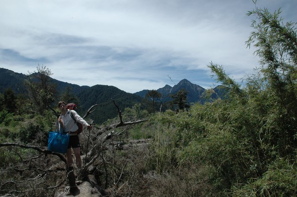
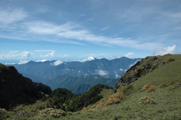
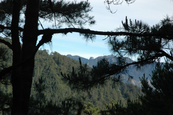
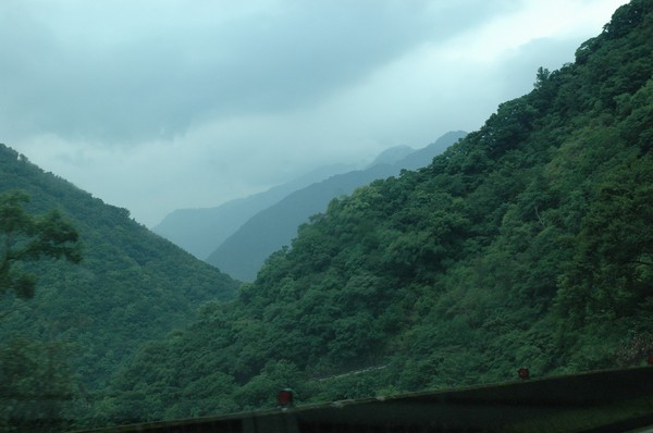
a pic taken at a remote area on taiwan...

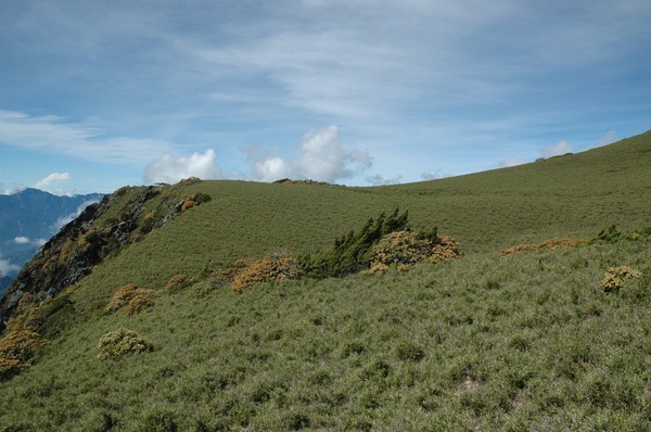
Another mountain pic

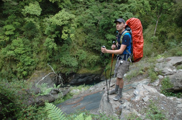
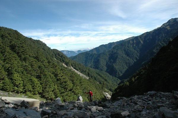
And cory walking up the hill
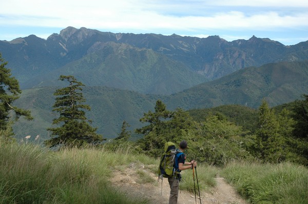
Enjoying the view
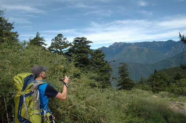
He knows every name of each peak...impressive

and far down there is road 7 and some random village
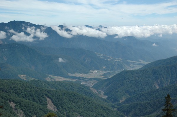
and some clouds
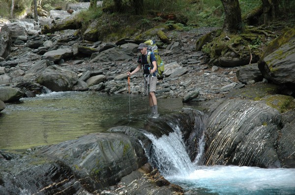
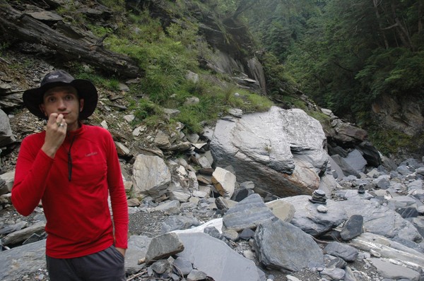
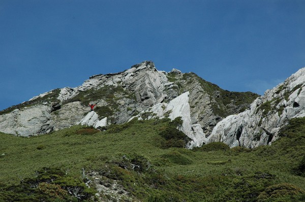
Johan posing with our destination in the background...zhongyangjianshan (中央尖山)
After a while we had to leave tha large nanhu trail
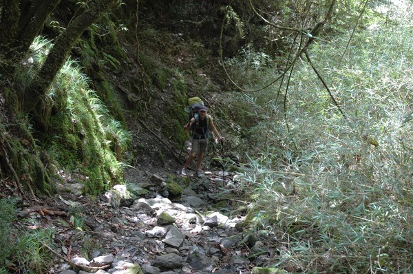
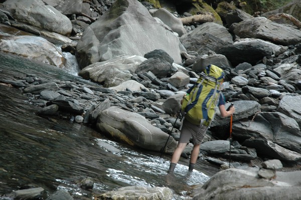
and walk down a river...
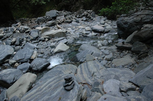
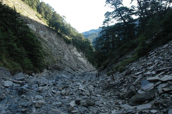
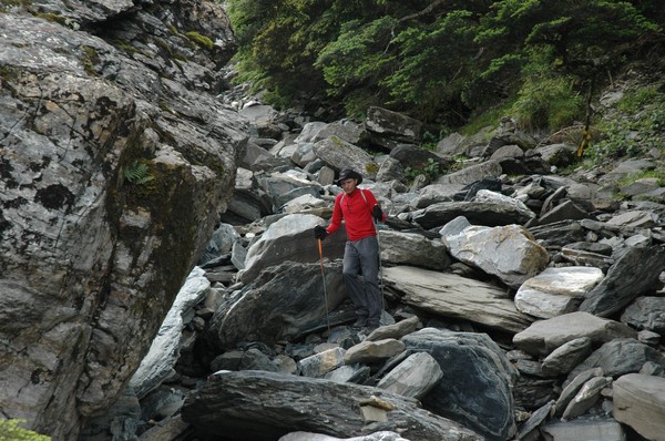
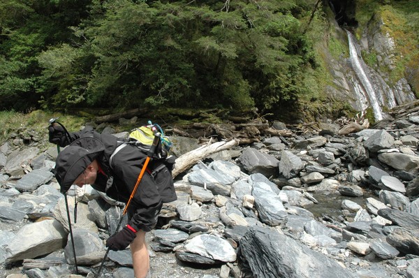
alot of river tracing is in this trail...and sharp rocks...very remote...
not many people go here....i never seen any person here, so far...except me and cory

after another 1-2 hours river walk we saw a sign at the first cabin...but we dont have time to stay here...just a quick snack

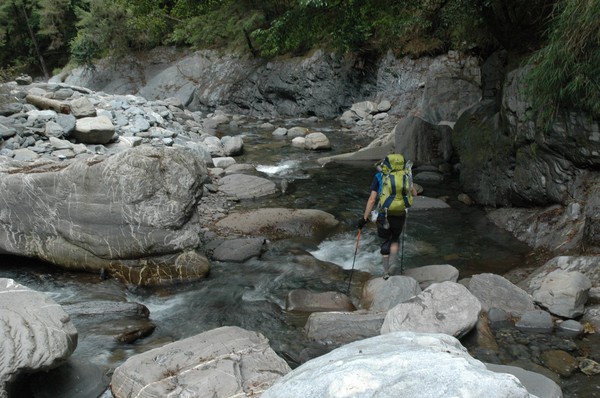
crossing nanhu river

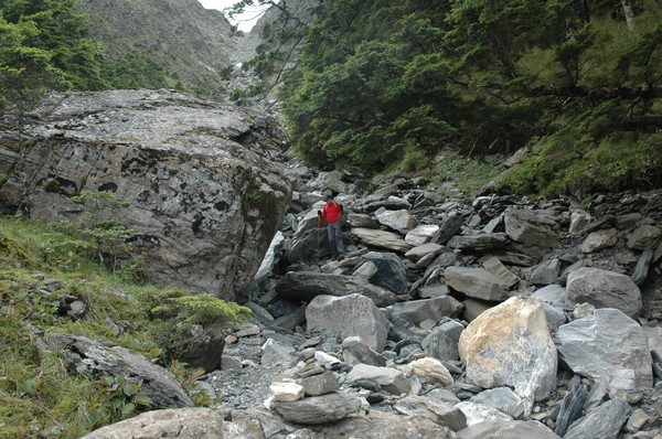
many landslides are here...so the trail often change

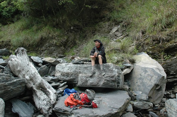
omg...cory had the raw eggs at the bottom of the backpack...luckily only 2 were broken...
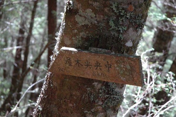
omg...one of the confusing signs about distance...
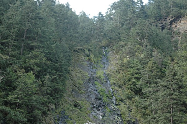
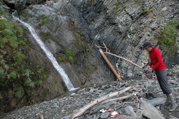
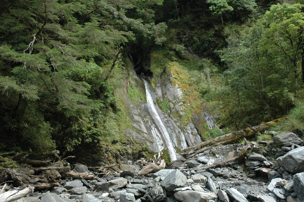
and some remove waterfall, which not is listed on http://taiwanswaterfalls.com
it was many leafs here, like in a swedish autumn
after some 1 hour uphill again it was down hill...we have to cross 2 mountains before we reach the zhongyangjianshan river...which will take us to the base of the mountain
some rest at the steep downhill path
after some time we reached a creek, time for refill the water bottles...this area has many creeks...
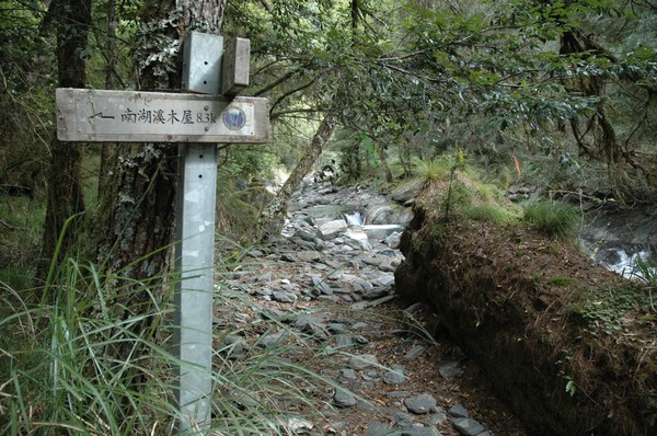
And then another sign. to the second and last cabin of this trail
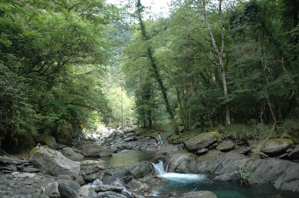
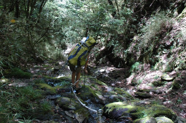
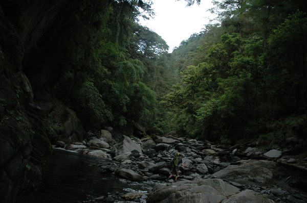
and now the river tracing becomes more intense
Cory was using river tracing shoes
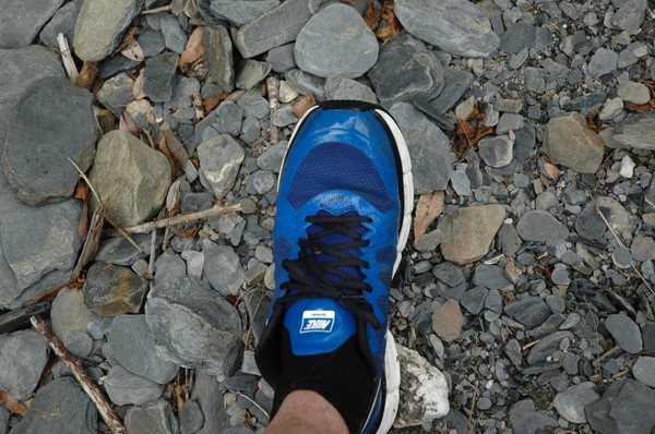
I had normal running shoes
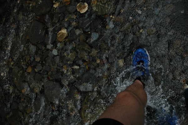
but it was nice to walk in cold water...after some hours with heavy backpack
the trail had these stripes, from some random hiking club....it helped...as well as the support of some cairns...since the river wasnt that easy to walk along
up up up
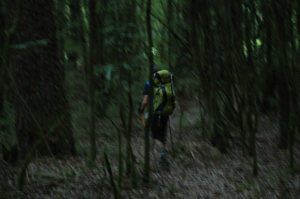
It was deep forrest up here
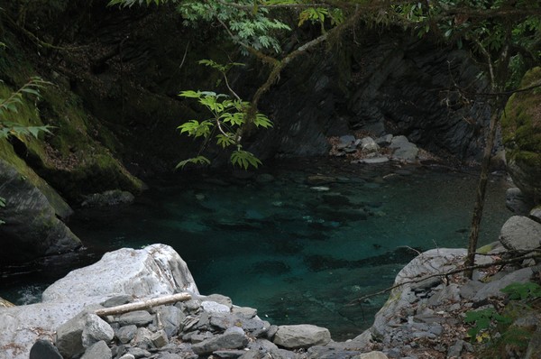
and once in a while there was a pond...with very clear water...
luckily no land slides today...even if the canyon was pretty big and steep

More cairns...
and some small water fall...
Cory showing the way
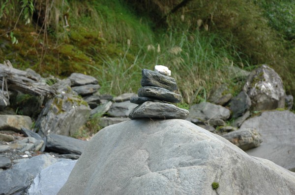
Cairns

and jumping on stones
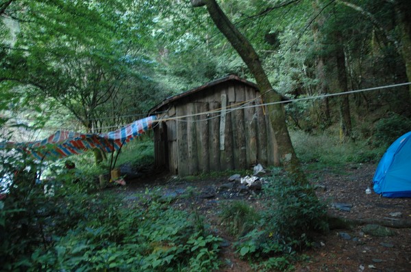
after a while we reached the second cabin on this trail
Many people slept in tents...we met 6 people at this cabin...and suddenly one of taiwans most remote places didnt feel that remote anymore

We made some soup
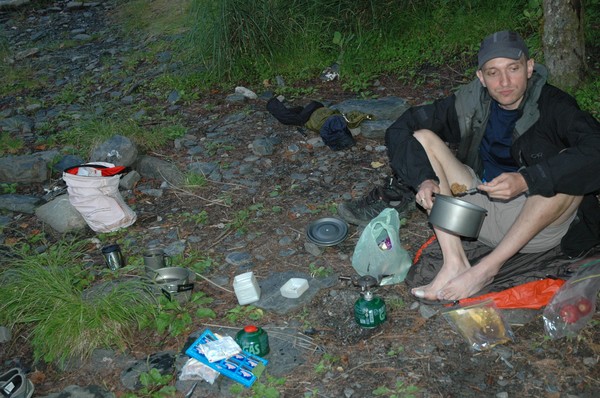
...or cory made it...i assisted

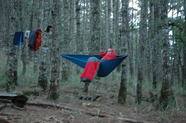
and later on the night darkness arrived...like at 19...
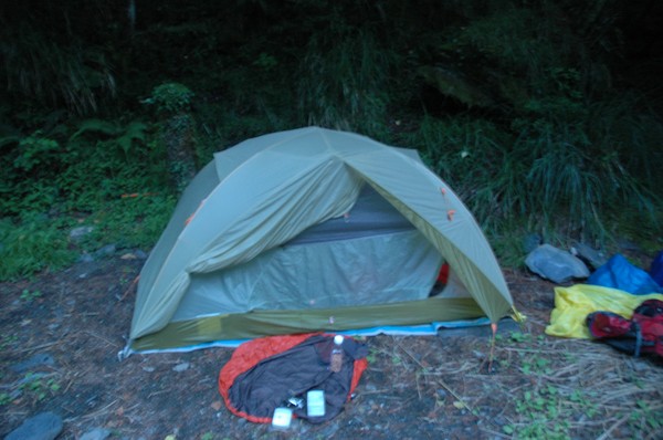
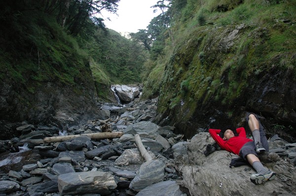
the place we stayed at these 2 days
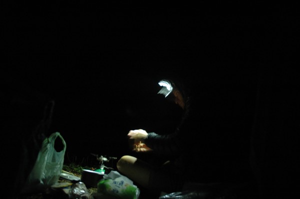
Cory working in the dark

Zhongyangjian waterfall....
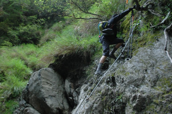
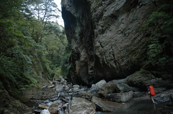
And some steep climbing...luckily there were ropes on this wall...
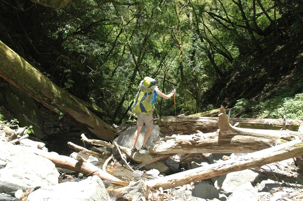
And more river tracing...
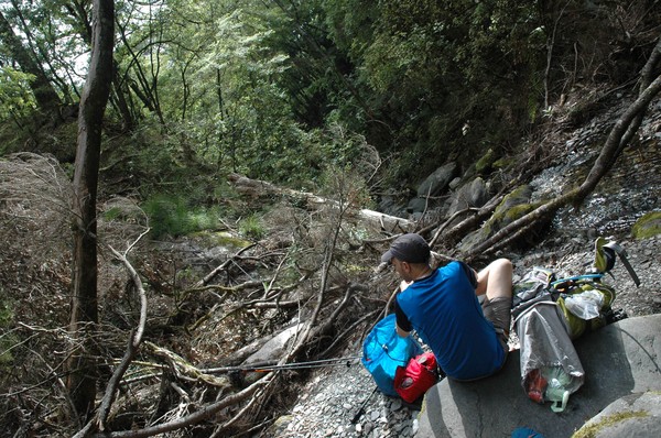
A break in the deep forrest
a rest along the river
another waterfall..at the end of the river...
now the steep climing up the peak starts
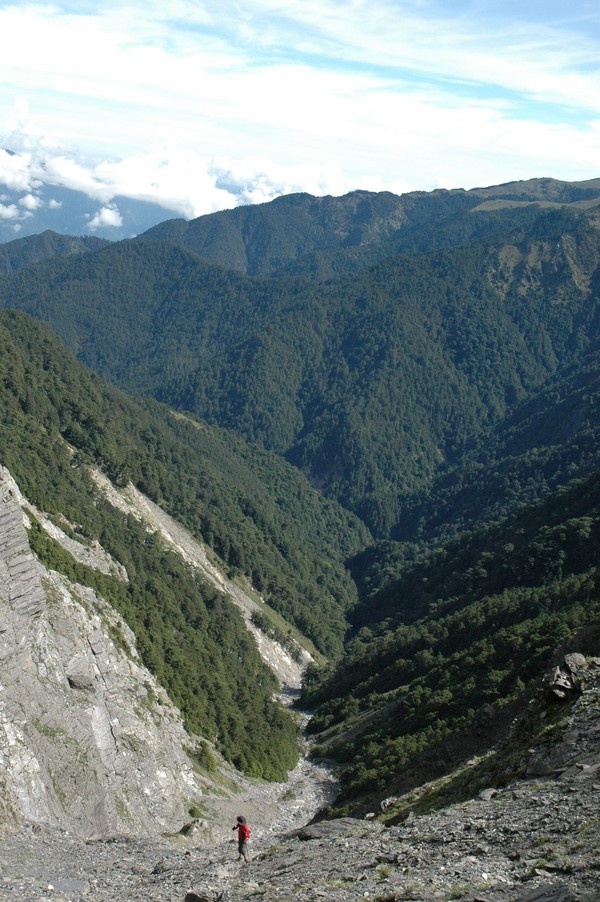
An endless road of stones...
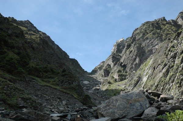
up there somewhere...the stone road ends...
Cory had two sticks...it helped...
Nanhu mountain
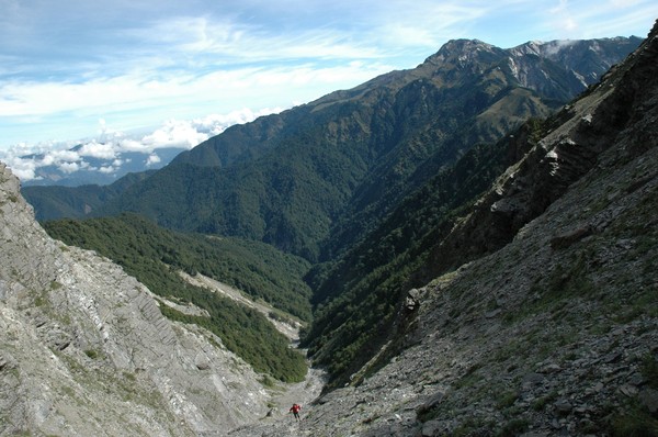
Cory is small in this valley
Nanhu mountain is higher than zhongyangjianshan but not pyramid shaped...

After another 30-60 minutes...we reaches a fork...between the main peak and the east peak
Cory is taking the last steps up to the fork
And from there, we went on some bushy landscape
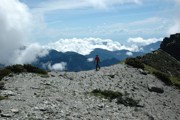
this is some 3600 meters above sea level
And many mountains in the horizon
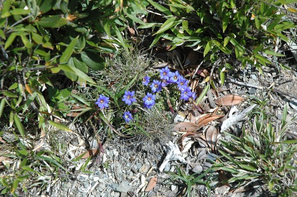
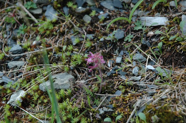
And some random flowers
Cory on a small peak
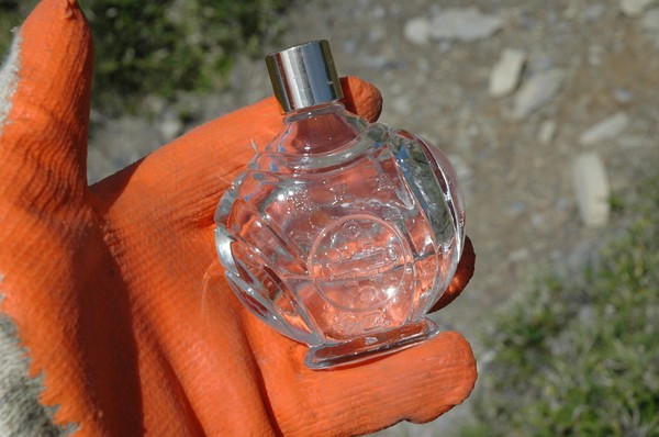
Omg...i found a perfume bottle...reminded me of my visit to yushan, where i brought perfume to the top
Cory on another small peak
The path continued up
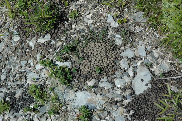
and some goat shit...I saw 2 dead mountian goats on this trail...and heard alot of barking dears...
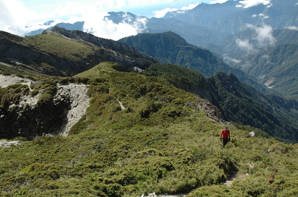
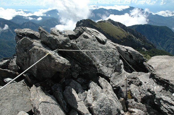
We now walked on some ridge...
And in some more bushes
And finally we reached the peak...
After using some ropes...its alot of snow here in the winter...so people need (or might need) crampons...and these wires/ropes...
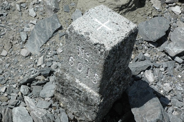
some old peak stone...

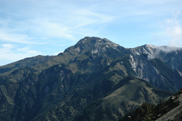
There is xueshan...i think...from there, this peak looks like a pyramid...

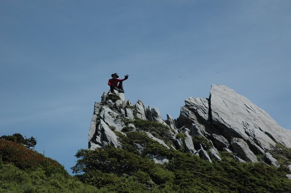
cory was approaching the top as well
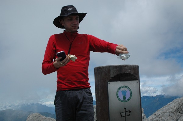
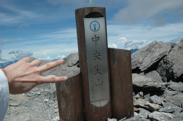
Perfume on the peak sign

Blue steel pose...
After some lunch we headed to the east peak

We also met some hongkong and taiwanese hikers...

And we saw some rain clouds coming closer
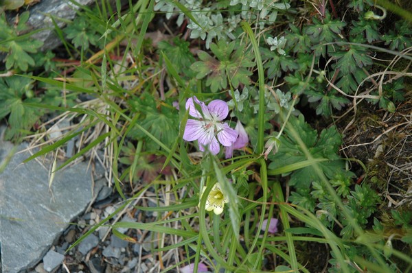
Flower pic 1
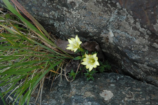
Flower pic 2
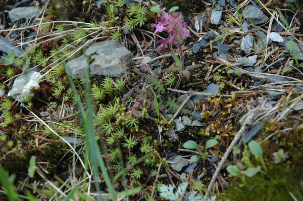
Flower pic 3
Flower pic 4
And the long way down begun
Endless stone road

and downhill river tracing
Cory took a break with his cowboy hat
And then ready to go
Another water fall
And more water
Later it was jungle

And some grass forrest reminding me ot home (this is corys favorite area of this whole trail, it was rather peaceful here)...
And some dinner break

Omg garbage

Only 8.3km left...but pretty steep hills to climb
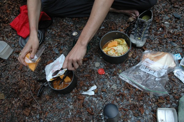
Cheese curry for dinner

Met some taiwanese people on the way...
In early morning we took off...the sunlight decides if we walk and not...
Omg...Dabajianshan...epic
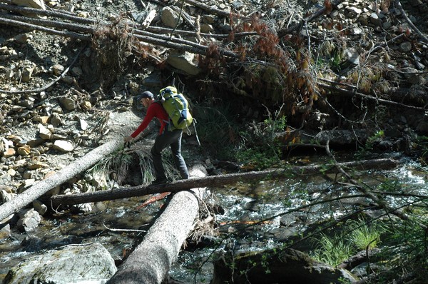
Some river crossing

And steep river tracing...

And lunch break...
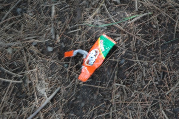
I found trash that I didnt see on the way up..some people who doesnt care about the environment...I collected the trash I found...the deed of the day...

After a while we were back on the Nanhu trail (mentally it felt like i was already at the end of the trail here), since this trail is a walk in the park...

Still steep hills

And some short rest
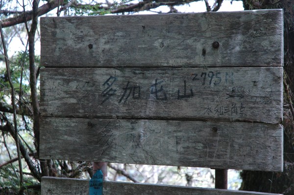
And some 2795m high peak...
After a while we reach the trail entrance...

But still had some 5km to walk...i think...we met some locals on the way...
Then fast walk...
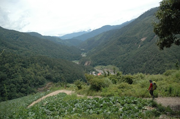
And almost at road 7...
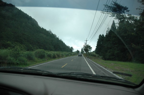
And in the car to hsinchu

We were not at the north west coast...people were not wearing helmet here...
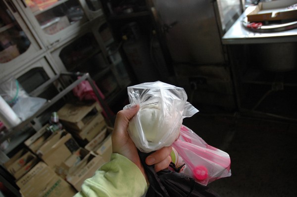
I had a baozi at a local store

We later on took road 7 towards Taoyuan due to some 3 people in the car policy at yilan (else we might have taked a faster road back), this road is called the "snake road"...
We also passed by a small lake...

And a bungy jump bridge
Nervous people
Rain was on its way...
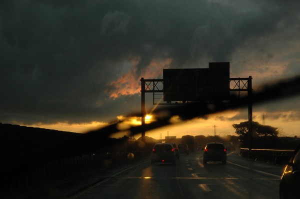
But in hsinchu it was a cloudy sunset later on

I ended the hsinchu visit by inspecting a Handicapped children (boys) only toilet...that few people are allowed to use...(no female, no non-kids, no non-handicapped)...
Kommentarer
Postat av: Anna Malvina
WOW!!! Vilka bilder! Och vilken vandring du gjort, nice!
Jag har börjat följa din blogg mer regelbundet nu, istället för att logga in på sociala medier. Bara så du vet.
Lägg gärna upp ngn bild på vardagsmat, och inte bara restaurangmat. Vore intressant att se tycker jag!
Vi hörs!
Ciao!
Trackback